 Hiking
 Login
Login
 More
More
 EN
EN
 Premium
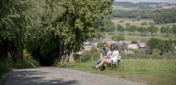
Along the slopes of the circular hiking trail
automatic translation
15.3 km • Maarkedal
 official route
7.37815 6 4.5/5
 Addresse starting point (approximate)
Nukerkeplein, 9680 Maarkedal
 signage
The route is fully signposted with nodes.
 Description
Walk along some of the legendary slopes from The Tour of Flanders. The Kortekeer, Rotelenberg and Koppenberg are on your menu. You will completely relax in the Koppenbergbos and the Spijkerbos, with a play area for children in the middle of the forest.
TheAlong the slopes of the circular walking routeis offered to you byRouten, an initiative of Tourism East Flanders.
automatic translation
 nodes to follow
0 km
1.1 km
1.4 km
1.9 km
2.7 km
4 km
4.1 km
5.1 km
6.7 km
6.9 km
8.1 km
9.3 km
10.3 km
12.7 km
14.7 km
15.3 km
Sunday, September 5, 2021 by M.V.Got off this hike yesterday 4/9 along with two colleagues. Was a very nice hike even though the weather was a bit chilly in the beginning. In high temperatures this is a tough hike. Climbed Koppenberg from 4 sides. Highly recommended!
automatic translation
Tuesday, May 11, 2021 by Caroline De CockBeautiful and varied hike. Forest, open fields, slopes,... The start of the hike corresponds +/-3 km to the panorama hike, so guaranteed success. Quiet walk, did this on a sunny Saturday and encountered few others.
automatic translation
Sunday, April 18, 2021 by Erna Van den BergeVery nice quiet walk and very varied. Definitely do it!
automatic translation
Sunday, January 31, 2021 by werner knopVery tough course but beautiful. Just had the disadvantage of doing this on a very rainy day (Saturday 30 01) but as Cruyff said ... every disadvantage eb his advantage because hardly encountered anyone, so nice and quiet. Definitely recommended for spring or summer. Beautiful landscapes and forests and the crowning descent of Koppenberg.
automatic translation
Saturday, November 21, 2020 by johan van lanckerBeautiful and varied hike has a little bit of everything TOPPER for me !!!
automatic translation
Sunday, August 16, 2020 by C.V.Very nice hike , highly recommended , especially those tough slopes in Koppenberg forest
automatic translation


 Upgrade to Premium Plus
