
 Hiking
 Login
Login
 More
More
 EN
EN
 Premium
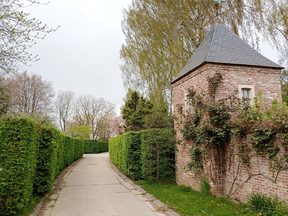
walk through picturesque hamlets
automatic translation
12.9 km • Grez-Doiceau
3.6372 1 4/5

 Addresse starting point (approximate)
Rue Constant Wauters 29, 1390 Grez-Doiceau, BE
 signage
The route is not signposted. Use a GPS device or our app to follow the route.
 Description
Departure: NMBS station Pecrot – Rue Constant Wauters 120 – Pecrot
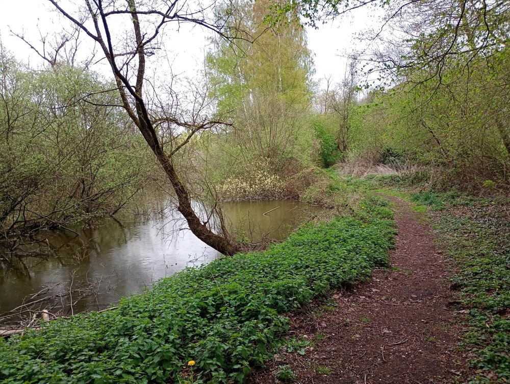
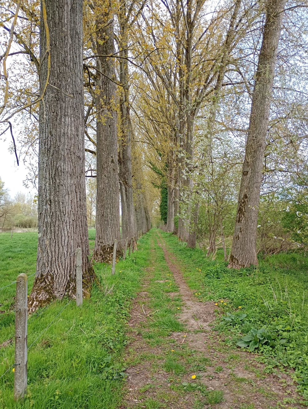
Via beautiful forest paths, we walk towards Nethen, a small village with a charming 18th-century church. We then continue through the fields to the hamlet of Bossut, and then walk through the woods again until we reach Archennes.
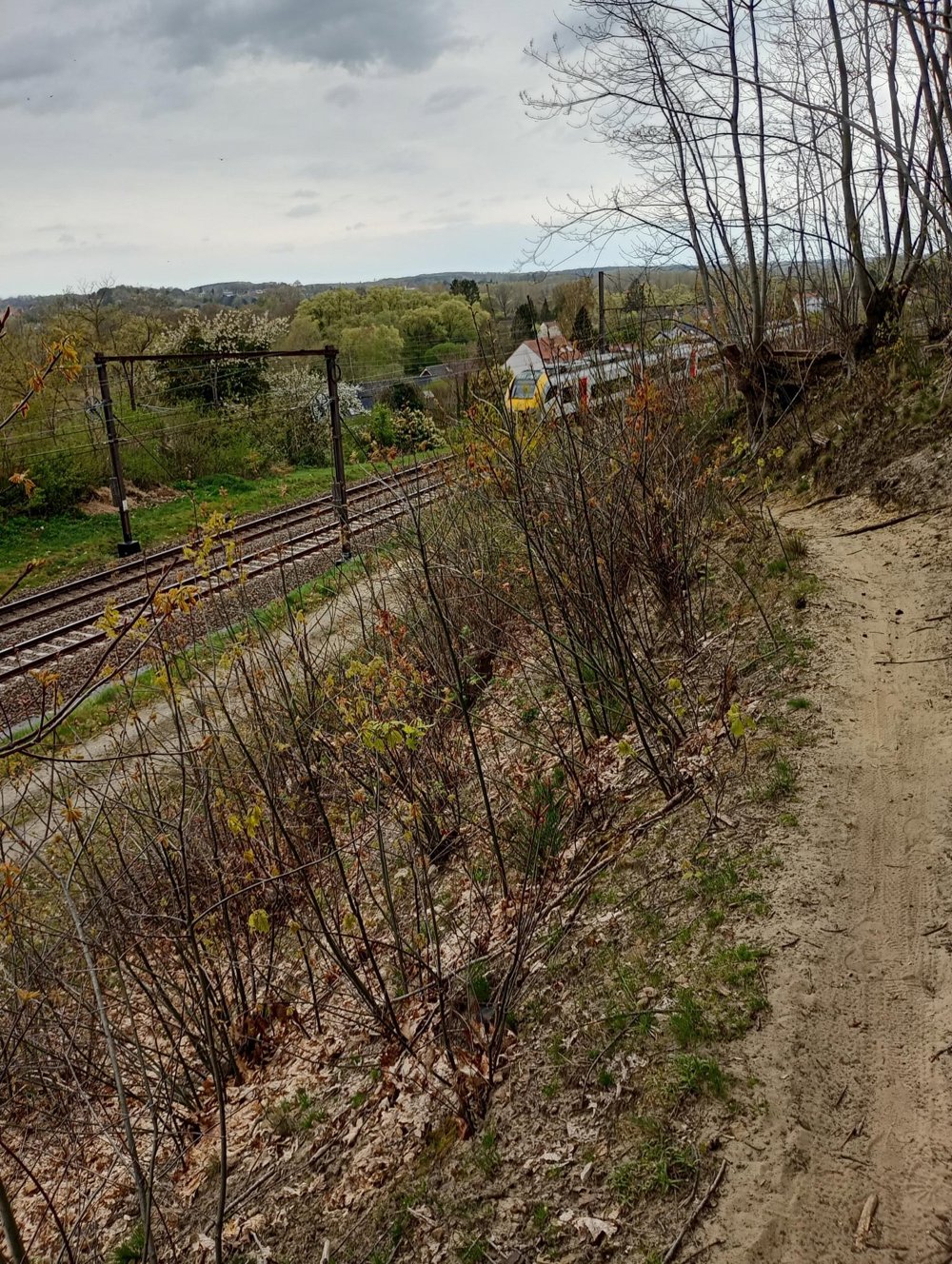
We then follow the Leuven-Ottignies railway line via a narrow path that goes steeply uphill. Further on, near the pedestrian tunnel, we pause at a memorial stone that reminds us of the victims of the major train disaster in 2001 — a head-on collision between two trains in which both drivers and six passengers lost their lives.
We end the walk around the ponds of Pecrot.
Along the way, there are few benches or rest points. Hospitality services are only available in the last two kilometers of the walk, namely at Florival station and in the fishermen's clubhouse by the ponds of Pecrot.
automatic translation



 Upgrade to Premium Plus


