
 Hiking
 Login
Login
 More
More
 EN
EN
 Premium
Around the pilgrimage site Kerselare
automatic translation
11.1 km • Oudenaarde
3.4865 0 0/5

 Addresse starting point (approximate)
Kerzelare 94, 9700 Oudenaarde, BE
 signage
The route is partially signposted with nodes. Use a GPS device or our app to follow the route.
 Description
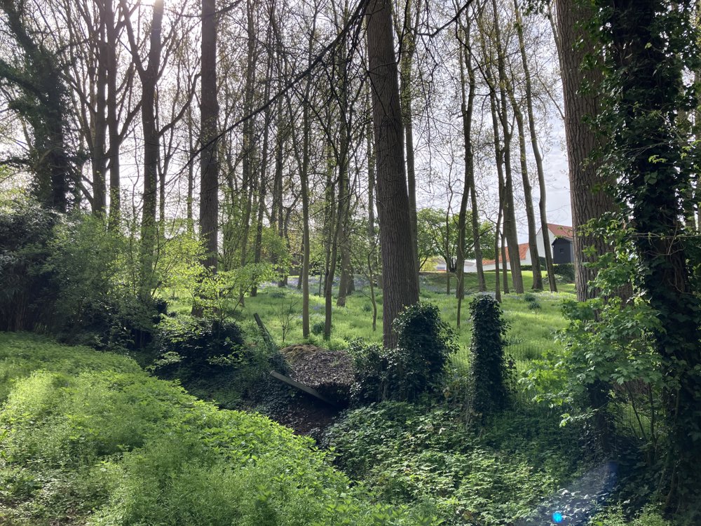
This is a loop around the pilgrimage site of Kerselare near Oudenaarde (sub-municipality Edelare).
You park and start the walk at the Kerselare parking area along the N8 near the chapel (this is architecturally a textbook example of brutalism).
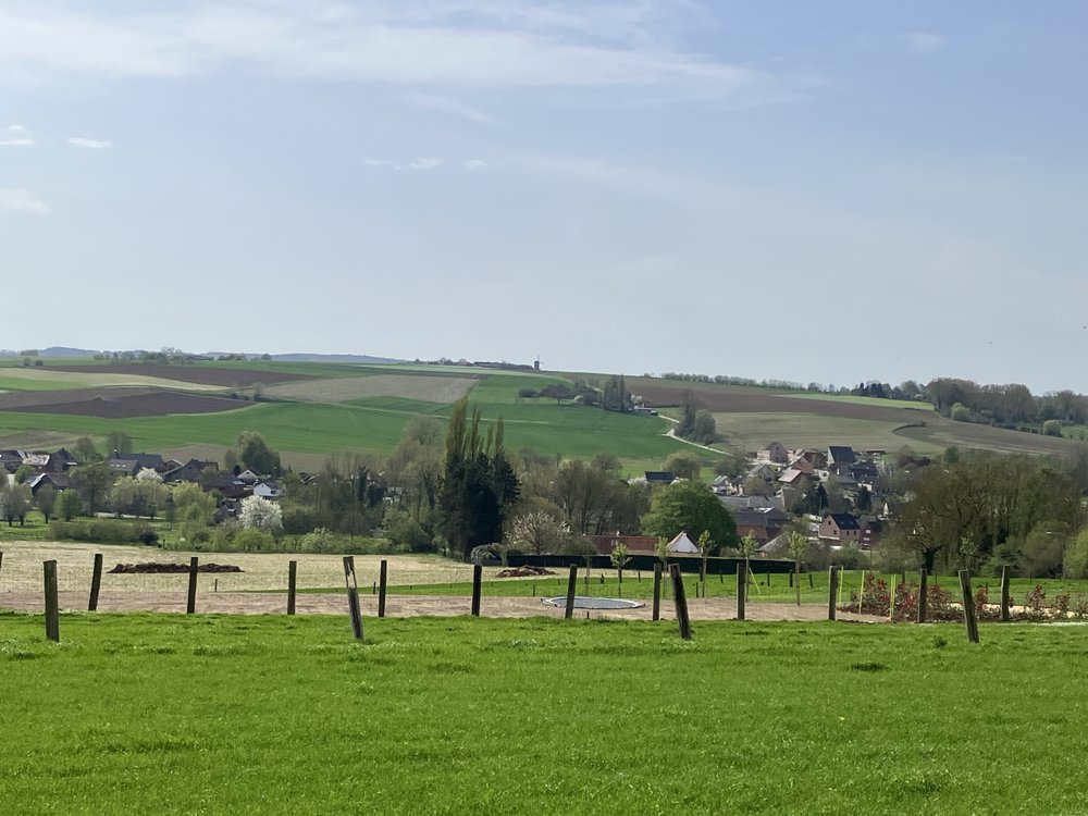
Leave the parking area heading north, and after approximately 100 meters along the N8, follow the indicator to hiking junction 64 via a narrow path next to a (now closed) restaurant. You arrive on an asphalt road 'Ommelozen Boom' with a stunning view over the Flemish Ardennes with the Koppenberg.
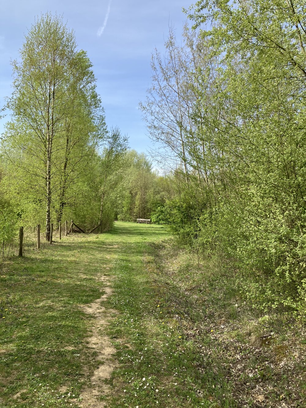
For the continuation, we refer you to the app and/or the map. Be cautious, as you have to cross the N8 four times and also follow it for about 200 meters. Be attentive as well, as some farmers might plow over a path, or some paths appear to be less frequently walked.
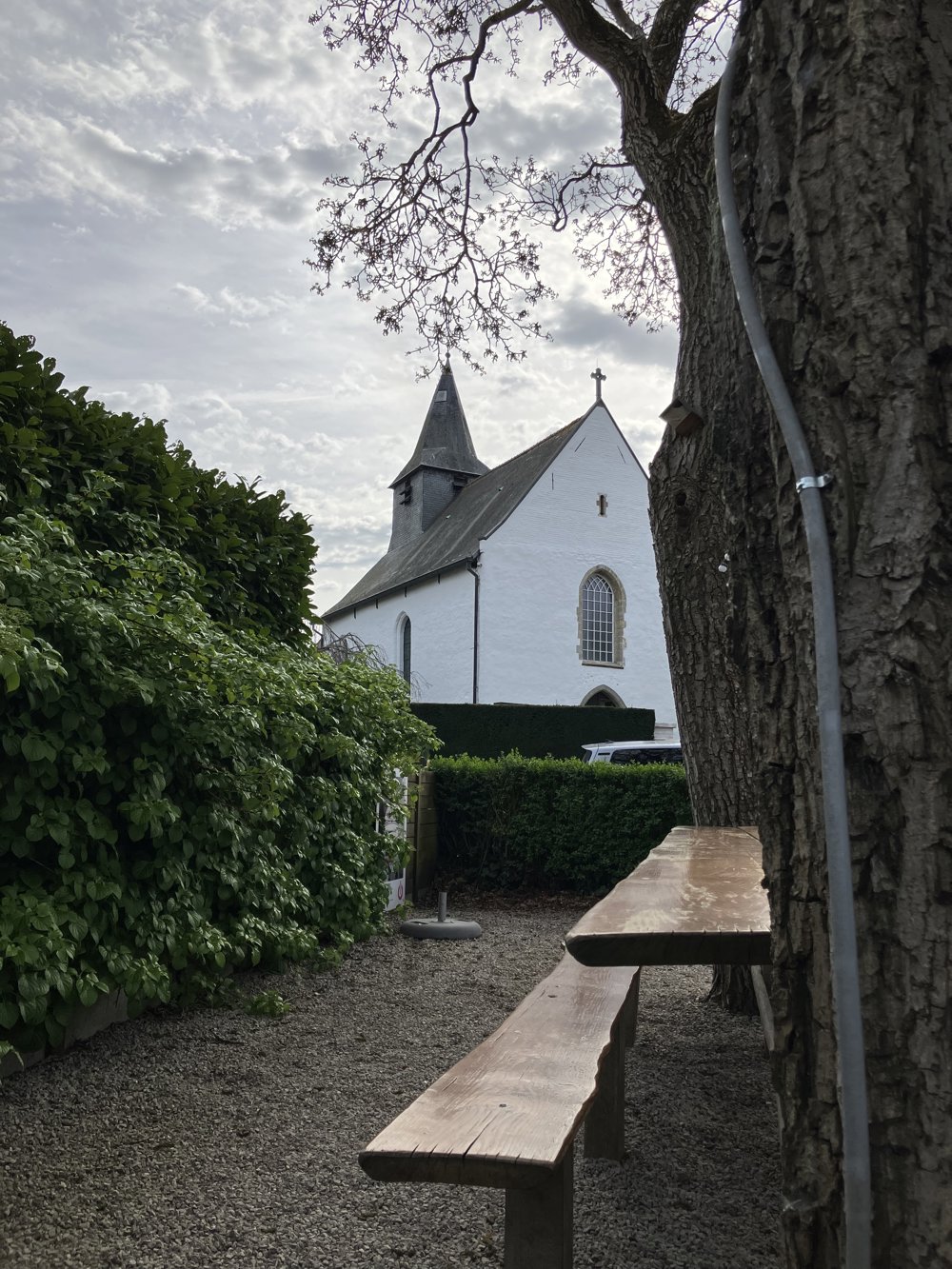
This walk guarantees variety, magnificent panoramas, and pleasant spots to rest, such as near the beautiful church of Volkegem.
automatic translation



 Upgrade to Premium Plus


