
 Hiking
 Login
Login
 More
More
 EN
EN
 Premium
Meldert - Hoegaarden
automatic translation
18.8 km • Hoegaarden
1.4382 2 4.8/5

 Addresse starting point (approximate)
Sint-Ermelindisstraat 14, 3320 Meldert, BE
 signage
The route is not signposted. Use a GPS device or our app to follow the route.
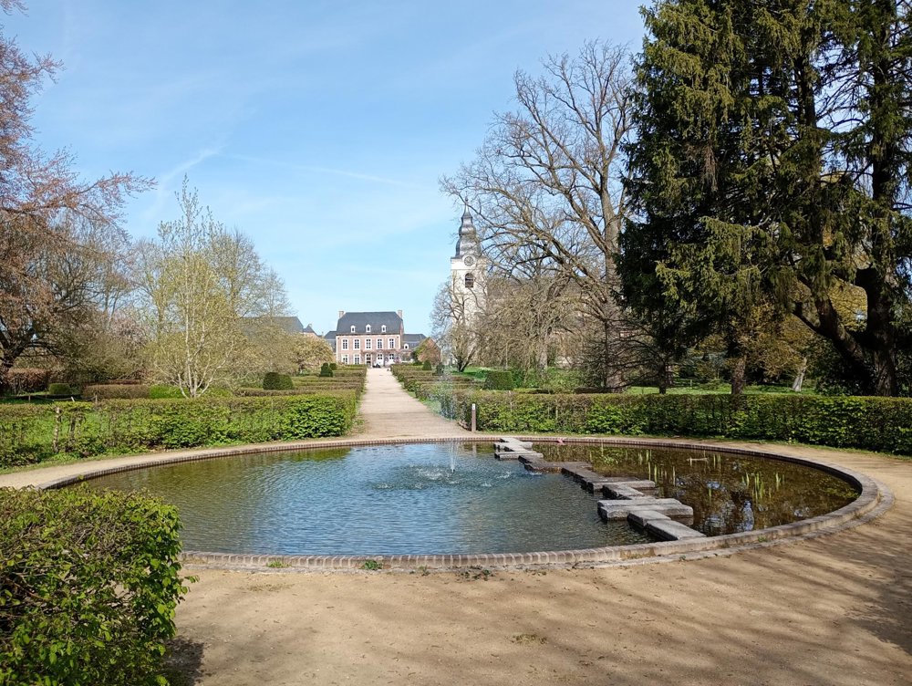
 Description
Departure: Sint-Emilindis Church, Processieweg, Meldert
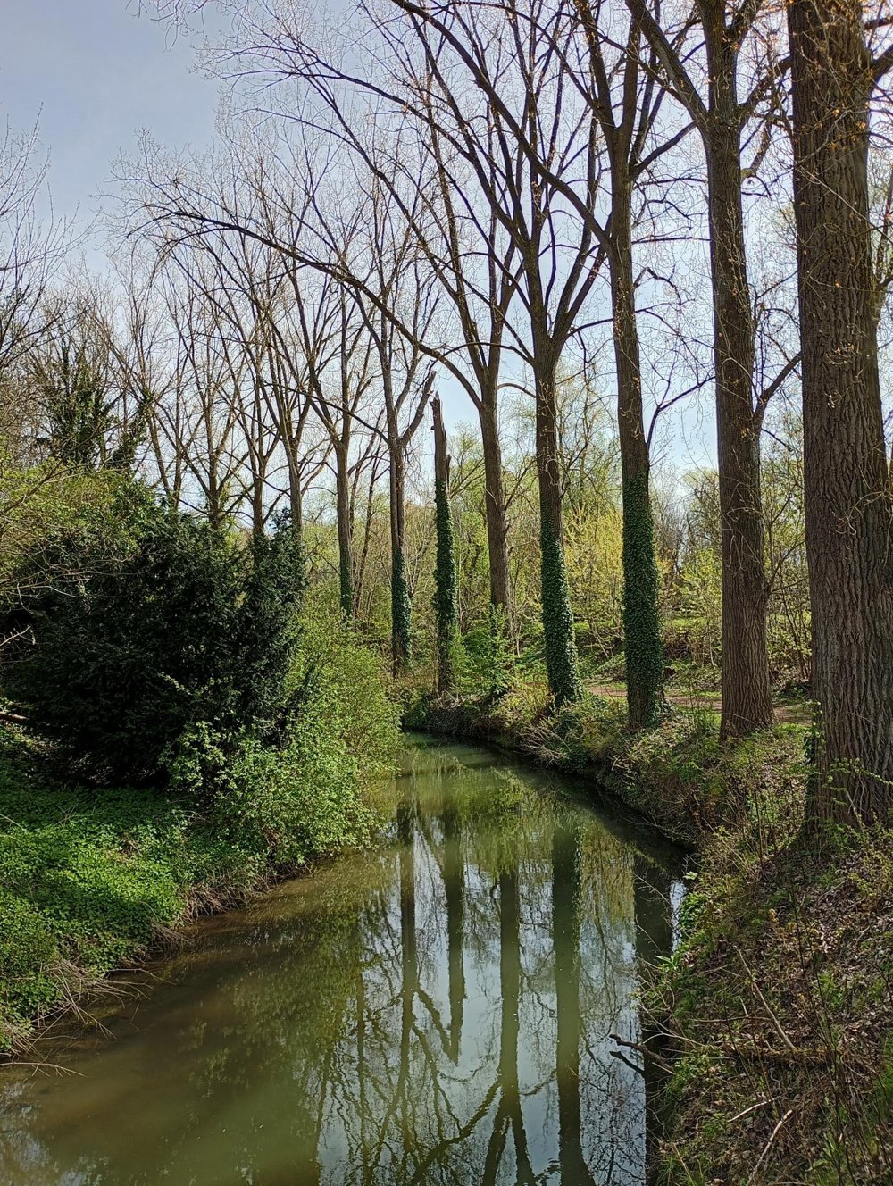
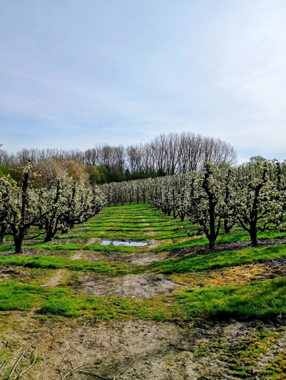
Head towards Hoksem, along the winding Mene. After the watermill of Meldert, a very muddy path follows for about 100 meters. Then through the vast fields to Hoegaarden. In the distance, the Marollen Chapel appears. This chapel from 1832 is situated at 104 meters altitude and is visible from afar. Unfortunately, only the exterior facade is intact; the interior is completely destroyed and defaced by graffiti.
In Hoegaarden, we pass the impressive Sint-Gorgonius Church, which is unfortunately only open during masses. We traverse the beautiful city park and then arrive at RAVeL 142, in the Walloon Region. After that, we follow a lovely route along the Grote Gete, to turn at the former Lumay station building and head back towards Meldert.
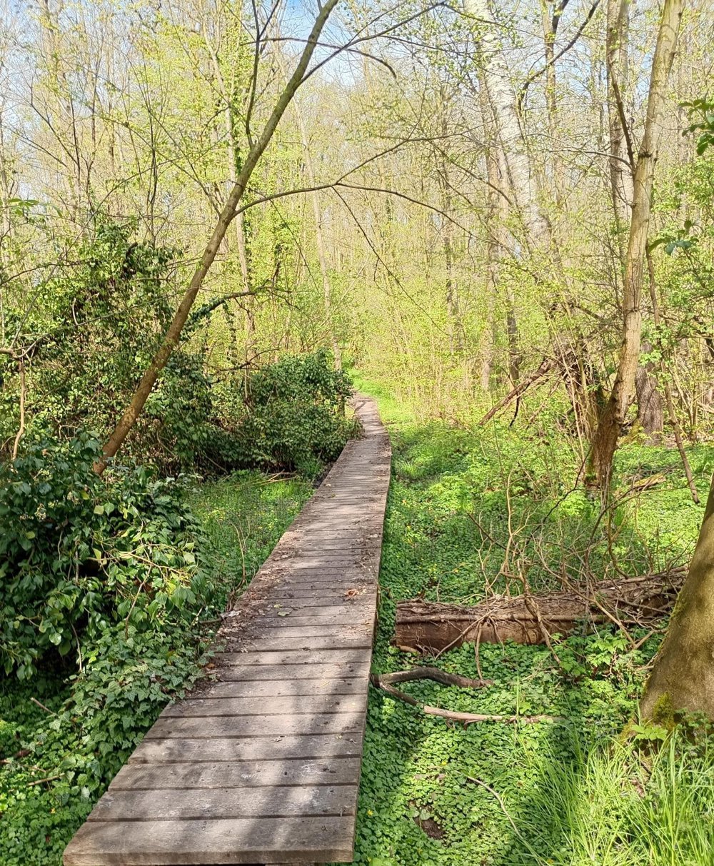
At the end, we cross the Meldert forest, which can again be very muddy.
There are plenty of benches and rest stops along the way, sanitary stop in Hoegaarden.
automatic translation
Sunday, July 26, 2026 by Jurgen Van den boschIt was a wonderful walk. Peaceful and varied.
automatic translation
Thursday, July 2, 2026 by L.B.A really nice, peaceful walk! During the summer months, long pants are recommended for a certain section through the woods where you have to walk through a lot of tall stinging nettles.
automatic translation



 Upgrade to Premium Plus


