 Hiking
 Login
Login
 More
More
 EN
EN
 Premium
Green Domain Hertberg - Helschot Forest
automatic translation
11.2 km • Herselt
2.8313 0 0/5

 Addresse starting point (approximate)
Diestsebaan 36, 2230 Herselt, BE
 signage
The route is partially signposted with nodes. Use a GPS device or our app to follow the route.
 Description
We did this walk on 22/03/2026 (14,163 steps)
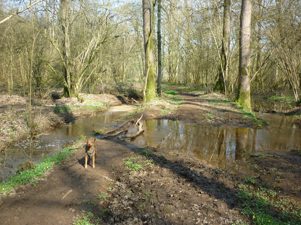
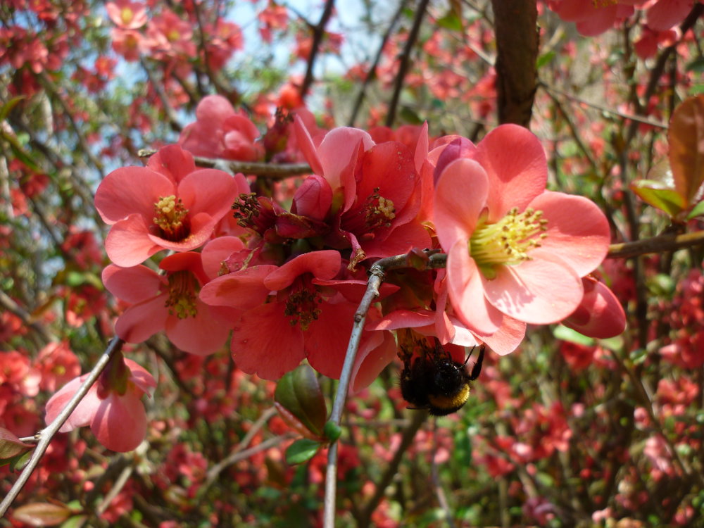
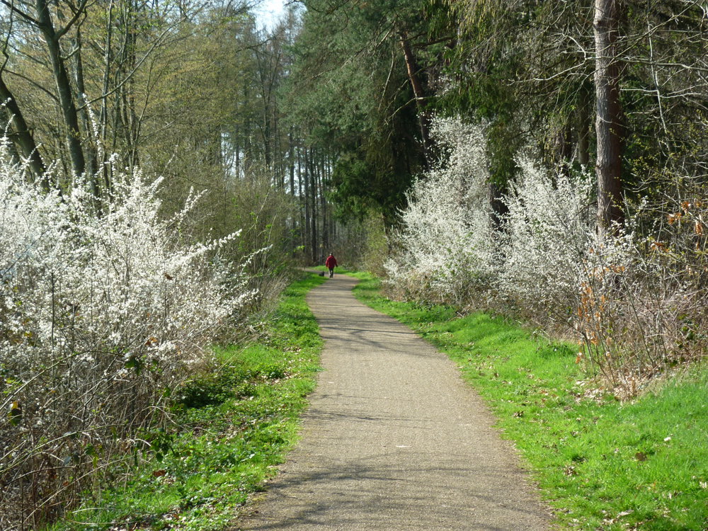
This is definitely a hike for those who love variety. The walk starts at "Parking Hertberg" and goes over the Muggenberg path which can be quite muddy in wet weather. This is not the only muddy section during this loop walk. In the Helschotbos, you encounter even more mud and water.
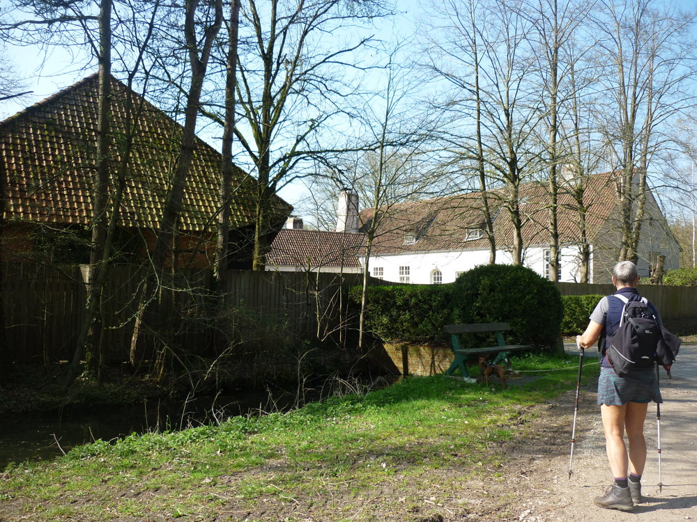
After this forest, the walk continues along streets with little car traffic. Just before you get tired of the paved roads, a field path comes to the rescue. From here, the walk goes through the surprisingly beautiful green estate of Hertberg. The varied ground and vegetation make the walk never boring.
More photos: https://photos.app.goo.gl/K5KTbZEEq1vSUPNQ8
Happy walking,
Eddy, Rita, and Prinske
automatic translation
 nodes to follow
0 km
0.2 km
1.2 km
1.6 km
1.9 km
3.4 km
4.8 km
5.2 km
6.5 km
6.6 km
7.1 km

8.2 km
8.4 km
8.4 km
9.4 km
10.2 km
10.3 km
10.8 km
11.1 km

11.2 km


 Upgrade to Premium Plus
