 Hiking
 Login
Login
 More
More
 EN
EN
 Premium
Crupet - most beautiful village of Wallonia ?
automatic translation
12 km • Assesse
2.1253 1 5/5

 Addresse starting point (approximate)
Rue Du Dessus 1B, 5332, BE
 signage
The route is not signposted. Use a GPS device or our app to follow the route.
 Description
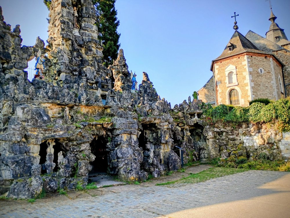
Departure: Saint Martin's Church - Rue Haute - Crupet
Next to the church stands an impressive grotto in honor of Saint Anthony of Padua, built between 1900 and 1903 by the villagers of Crupet. In four niches, one can find life-sized, somewhat kitschy statues depicting the life of Anthony.
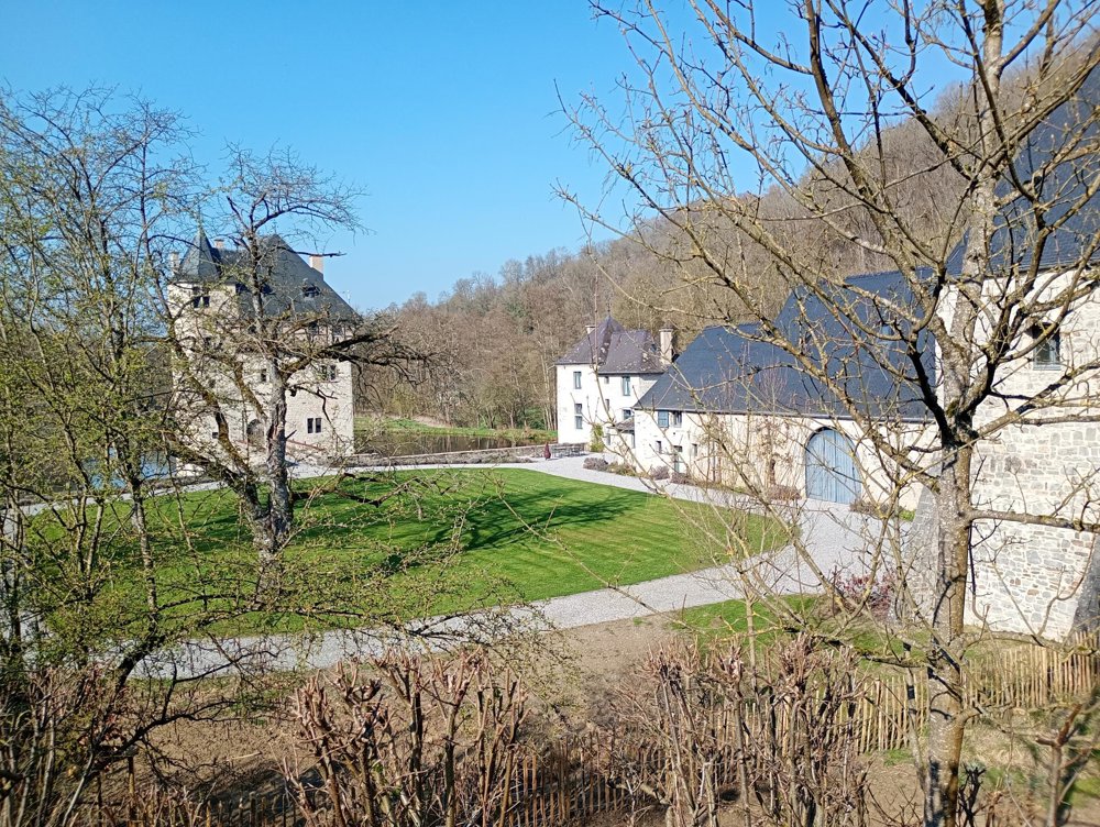
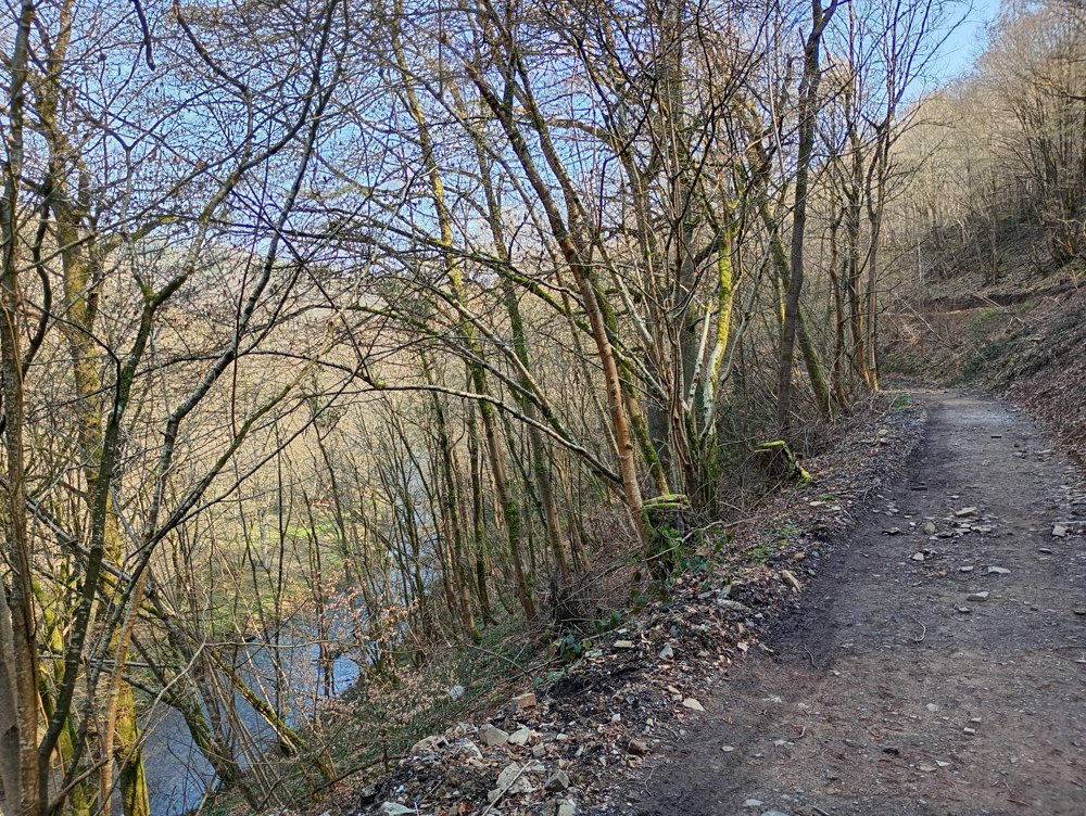
We leave the village via the castle and the mill of Crupet. Here, there are many waterways and the Ry de Gence stream gently flows. Further, the path goes through forests towards the old quarries, where you follow the Bocq valley. Along the way, a historic railway line crosses your path; a tourist (steam) train still runs here in the summer.
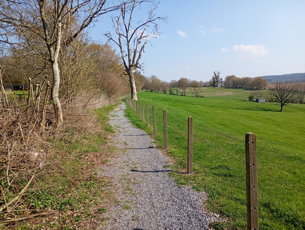
Via the quiet village of Durnal, you return to Crupet through open fields.
Some slopes along the way - walking sticks may be useful. No catering facilities on the route. Popular hiking area: on beautiful days it can be quite busy.
automatic translation


 Upgrade to Premium Plus
