 Hiking
 Login
Login
 More
More
 EN
EN
 Premium
Clink map hiking trail
automatic translation
4.9 km • Niel
3.7498 4 3.4/5
route offered by
Toerisme Provincie Antwerpen
 Addresse starting point (approximate)
Boomsestraat 221, 2845 Niel
 signage
The route is fully signposted with nodes.
 Description
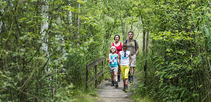
The Klinkaart hiking trail, through Boom and Niel, immerses you in the living and working conditions of the former brickmaking communities of the Rupel region. Step past brick kilns, drying sheds, clay dredgers, workers' cottages and master's houses. The extra loop (3.5 km) through the Walenhoek nature reserve, a former clay pit complex, serves up a varied landscape of pocket forests, hay meadows and some twenty ponds.
automatic translation
 nodes to follow
0 km
0.7 km
1.2 km
1.4 km
2.2 km
2.7 km
3 km
3.7 km
4.3 km
4.8 km
5 km
Thursday, June 20, 2024 by R.D.beautiful piece of nature here and there es through the streets , then again beautiful green corner and path the worthwhile I think , especially the walem corner , beautiful nature corner
automatic translation
Saturday, January 23, 2021 by L.M.Super beautiful, especially the piece of nature reserve !
automatic translation
Sunday, May 24, 2020 by Ugo RendersNot too good a walk especially the beginning is not so nice...also have the walk start somewhere at a parking lot and not on a street where there is almost no parking!!!
automatic translation
Saturday, May 23, 2020 by Kris VerduycktBeautiful route, a bit too much inhabited at times. You can see that no super rich live here. Simple workers' cottages, old brickyards. You don't expect much more... And then you come to the Walenhoek nature reserve, where it is such a lovely and peaceful walk, with beautiful ponds on all sides. To follow the trail, I had to go through the place where the cattle graze for a bit. I had seen one of those cattle just before on the wire that was bellowing rather frighteningly, so I was uneasy about it and went through here anyway at a slightly faster pace. Fortunately, no other cattle were noticed. Conclusion: Definitely worthwhile and in terms of length more than doable!
automatic translation


 Upgrade to Premium Plus
