 Hiking
 Login
Login
 More
More
 EN
EN
 Premium
Station As: Blue and Green
automatic translation
8.9 km • As
1.7302 0 0/5

 Addresse starting point (approximate)
Nielerlaan 113, 3665 Dennengaarde-Stationwijk, BE
 signage
The route is fully signposted with thematic signs (no nodes).
 Description
We did this walk on 03/18/2026 (12,184 steps)
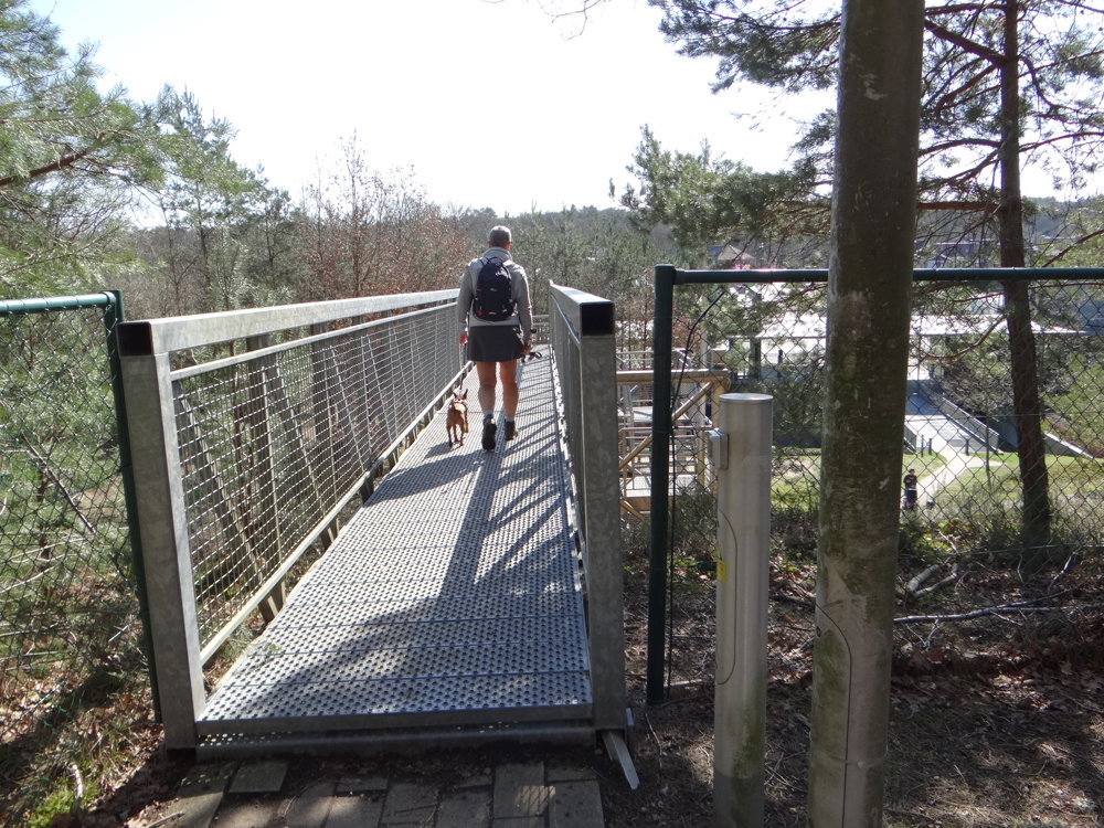
This walk combines two routes around As Station: the blue route over the Mechelse Heide Noord and the green route towards the Driebankenbos. The blue part leads past a former gravel pit with winding paths, stairs, and beautiful views. Via a short approach, you reach the Windelsteen.
Those who are hungry after this part can grab a bite and a drink at Brasserie 't Stasjon - As.
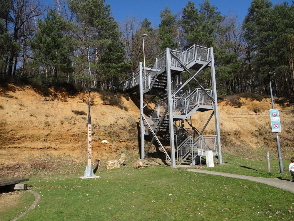
The green route is the most varied: you walk along the narrow-gauge railway and visit the geological wall in an old quarry. Through an 8.5-meter stair tower, you view the layers at different levels.
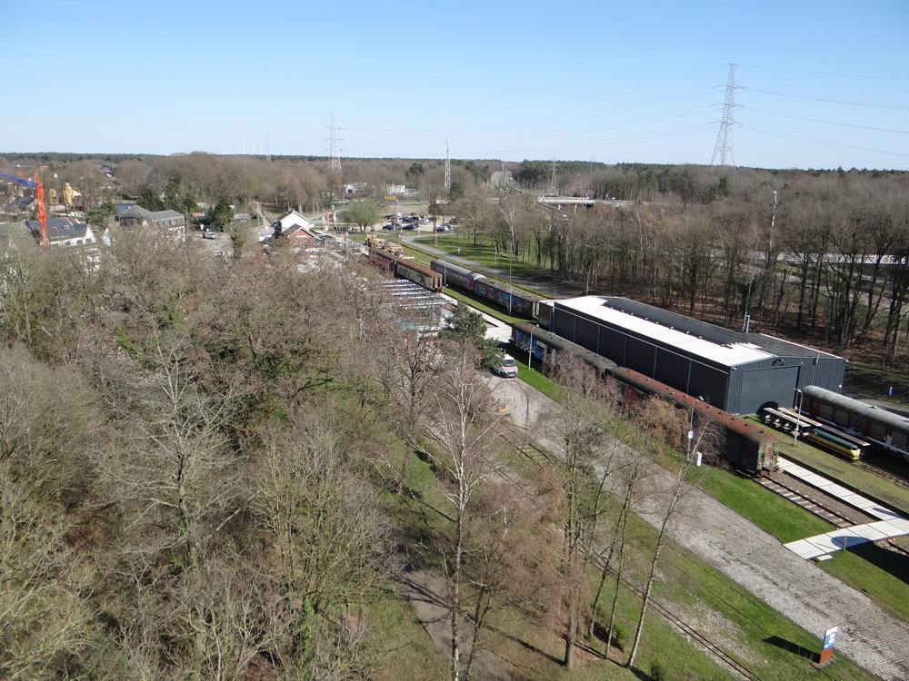
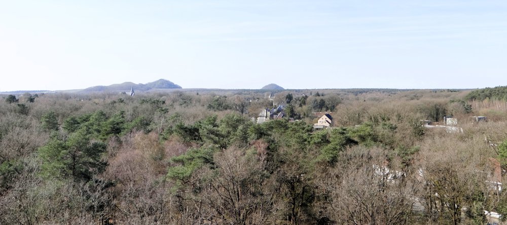
As a final touch, you can climb the 31-meter high watchtower, with views of the spoil heaps of Eisden, Winterslag, and Waterschei.
On Sundays (April through September), a mini train also runs at 2 pm, 3 pm, and 4 pm.
More photos: https://photos.app.goo.gl/pV2FaNmQUU14zyuD6
Happy walking,
Eddy, Rita, and Prinske
automatic translation


 Upgrade to Premium Plus
