 Hiking
 Login
Login
 More
More
 EN
EN
 Premium
Ceroux-Mousty forest walk
automatic translation
15.6 km • Ottignies-Louvain-la-Neuve
1.3732 0 0/5

 Addresse starting point (approximate)
Place Communale 4, 1341 Ottignies-Louvain-la-Neuve, BE
 signage
The route is not signposted. Use a GPS device or our app to follow the route.
 Description
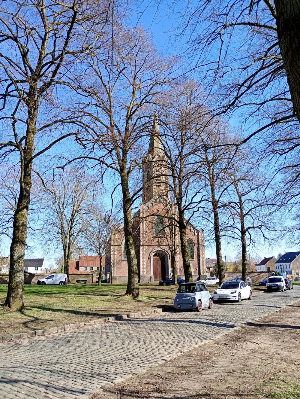
Departure: Place Communale – 1341 Céroux (Ottignies)
This stately communal square, with a beautiful church and a former town hall that has been converted into a Michelin-starred restaurant, serves as our starting point.
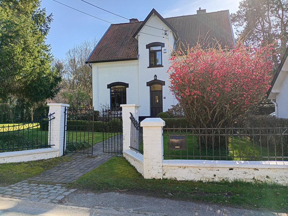
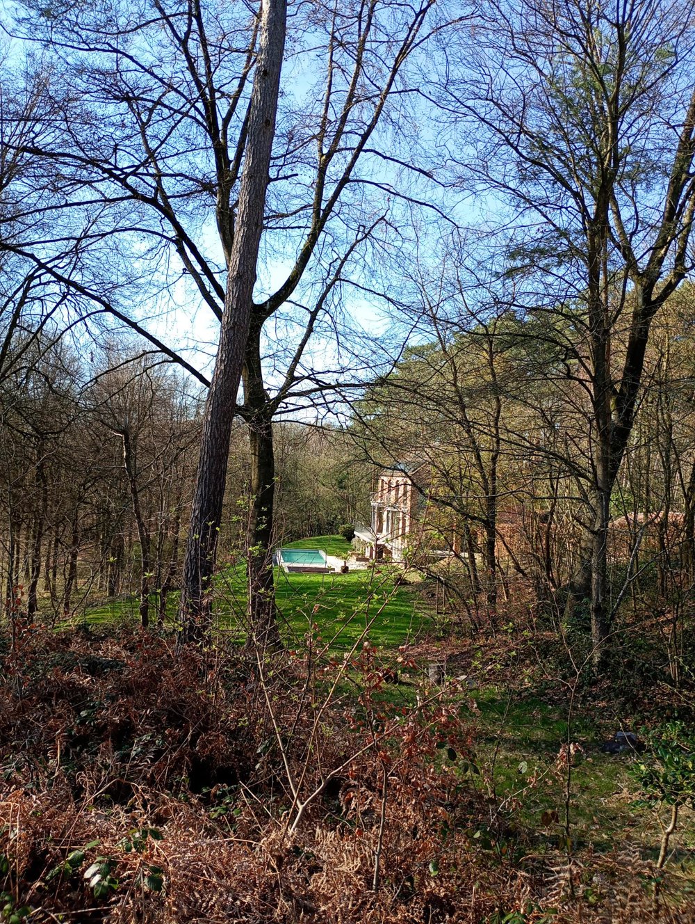
The first 800 meters are along a busy road; then we enter the forest towards the Bois de la Palanthe. This forest is traversed by the hamlet of Couture-Saint-Germain, with several beautifully renovated farms and a large number of – mostly well-secured – villas.
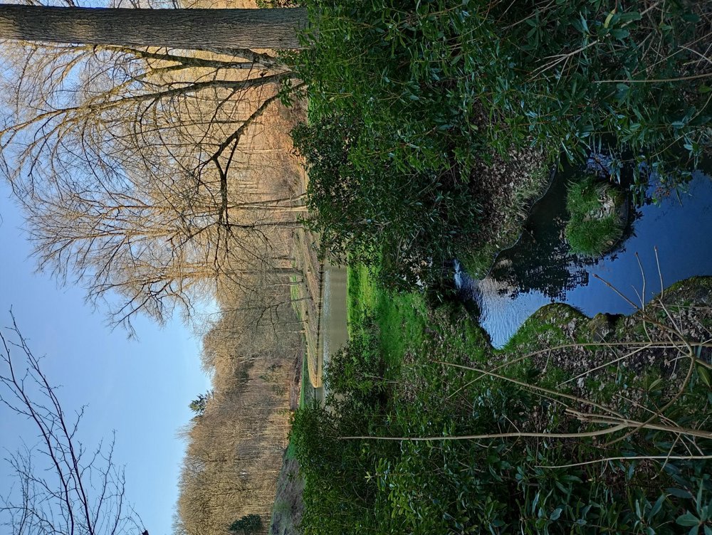
We then walk through the fields to the Bois de Thy. We follow the stream La Cala, which winds beautifully through the forest and ends in a small pond. In this forest, there is also a lovely chapel, unfortunately located on private property and not accessible for close viewing.
There are some elevation changes; walking sticks may therefore be useful. Along the way, there are no hospitality facilities, benches, or picnic tables.
automatic translation


 Upgrade to Premium Plus
