 Hiking
 Login
Login
 More
More
 EN
EN
 Premium
Variety in the Zwalm Region
automatic translation
10.2 km • Zottegem
1.9375 0 0/5

 Addresse starting point (approximate)
Kruiswaterplein 5, 9620 Sint-Goriks-Oudenhove, BE
 signage
The route is fully signposted with nodes.
 Description
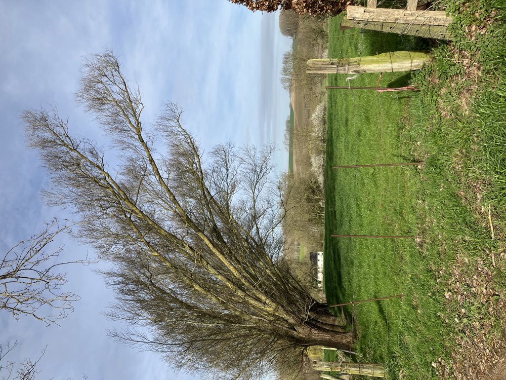
This walking loop of about 10 km starts and ends at the church of Sint-Goriks-Oudenhove, a sub-municipality of the city of Zottegem. There is parking and you can also enjoy a terrace after the walk.
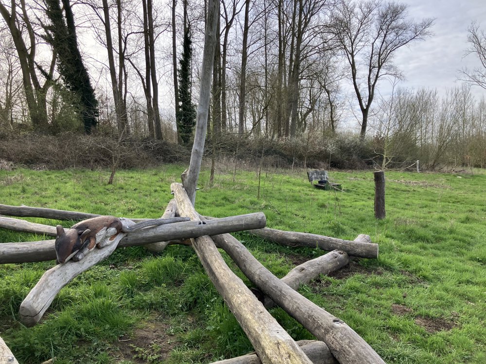
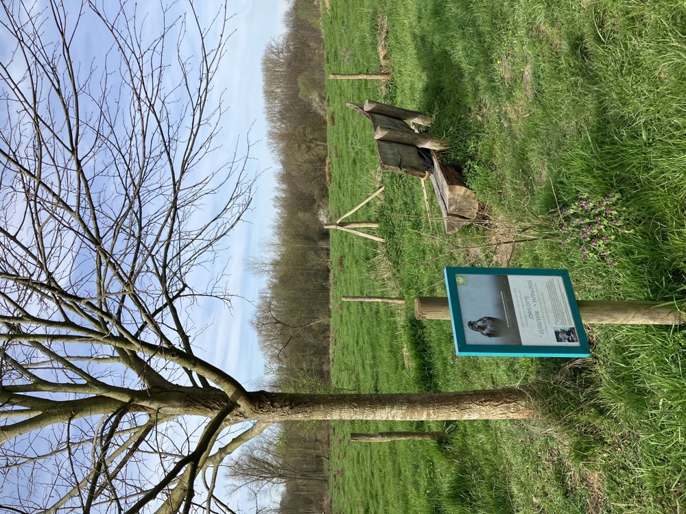
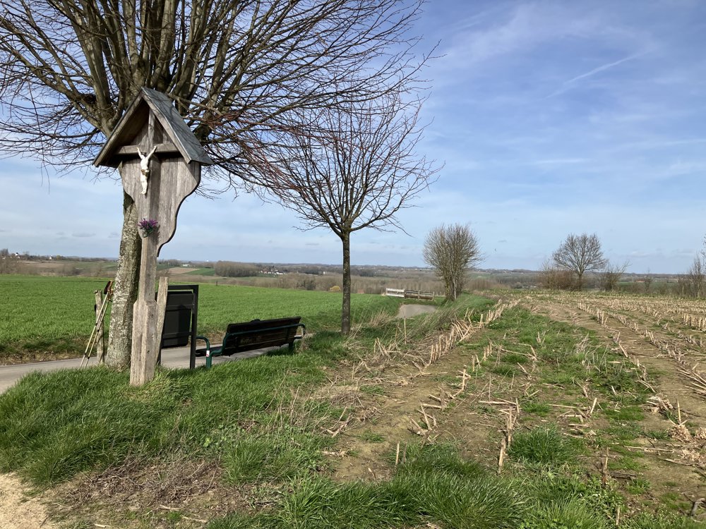
You follow the junctions 65-64-60-52-57-58-47-48-55-54-50-51-53-54-65, or in reverse. In any case, you will be confronted with a very varied route: quiet areas, wide views, narrow paths, manageable slopes, and country roads. Here and there you will also find inviting benches along the way.
This loop is shaped like a curved eight, so you will pass junction 54 twice. Pay attention here because there are two posts marked junction 54, but with different references, about 30 meters apart.
The walk is really worth it and shows the Zwalm region at its finest. However, it is and remains a source area. Good footwear is therefore recommended as some sections can be muddy.
automatic translation
 nodes to follow
0 km
1.4 km
2 km
2.2 km
3.1 km
3.3 km
4.2 km
4.6 km
5.1 km
6.1 km
6.2 km
6.2 km
7 km
8.2 km
9.6 km
10.1 km
10.2 km


 Upgrade to Premium Plus
