 Hiking
 Login
Login
 More
More
 EN
EN
 Premium
Between Lennik and OLV Lombeek
automatic translation
14.6 km • Lennik
2.0692 0 0/5

 Addresse starting point (approximate)
Markt 2, 1750 Sint-Kwintens-Lennik, BE
 signage
The route is fully signposted with nodes.
 Description
Departure: Sint-Kwintens Church - parking at the Market Square of Sint-Kwintens-Lennik
On the market square of Lennik stands 'Prins'. This enormous bronze statue is an ode to the Brabant draft horse.
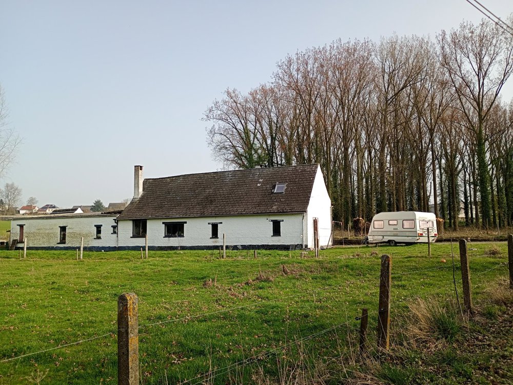
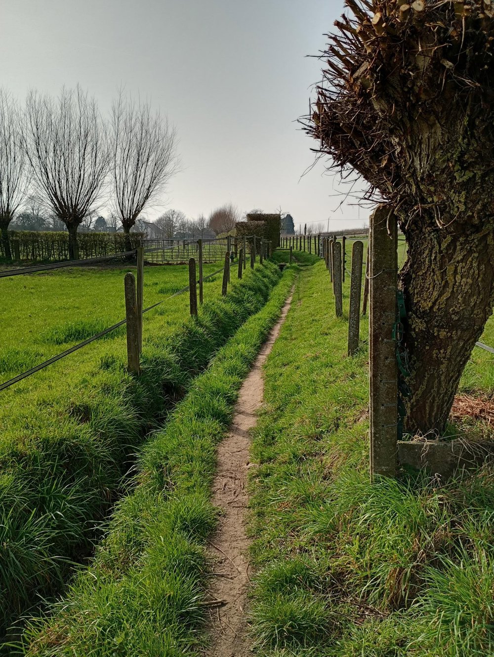
This walk is a junction walk through the hilly fields of Flemish Brabant.
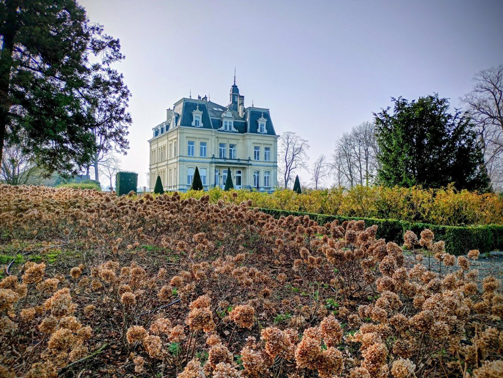
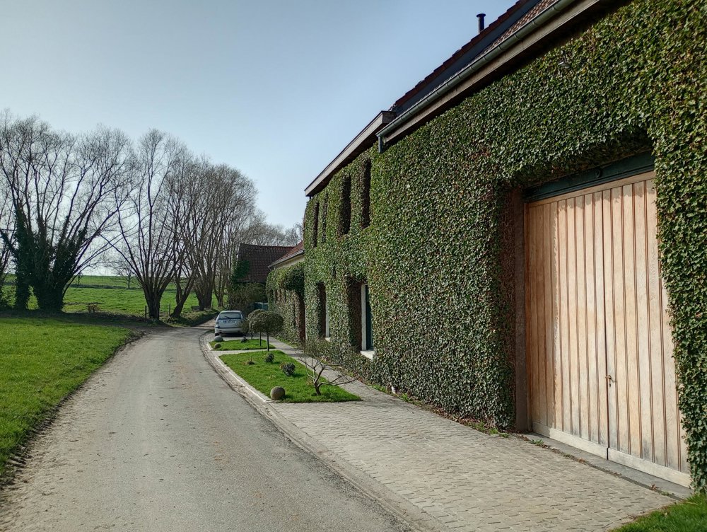
We pass beautifully renovated old farms, several lovely chapels, and the castle of Saffelberg. This castle was in the hands of the Van Oldeneel family until 2007. It now houses offices, meeting rooms, a dining hall, and various other facilities. The gardens around it, originally laid out in 1810, are in strict French style with various roundabouts, a pond, and a bandstand.
About halfway, at the church of OLV Lombeek, a sanitary stop can be taken.
automatic translation
 nodes to follow
0 km
0.9 km
1.4 km
1.7 km
2.8 km
3.3 km
3.3 km
3.5 km
4.2 km
4.5 km
4.7 km
5 km
5.2 km
5.3 km
5.5 km
5.8 km
6.2 km
6.3 km
7.4 km
7.5 km
7.9 km
8.1 km
8.8 km
9.5 km
10.2 km
11 km
11.5 km
12.4 km
12.4 km
13.4 km
14.6 km


 Upgrade to Premium Plus
