 Hiking
 Login
Login
 More
More
 EN
EN
 Premium
Mélin - Sclimpré - Sart-Mélin
automatic translation
12.2 km • Jodoigne
2.0975 0 0/5

 Addresse starting point (approximate)
Rue Des Beaux Prés 16, 1370 Jodoigne, BE
 signage
The route is not signposted. Use a GPS device or our app to follow the route.
 Description
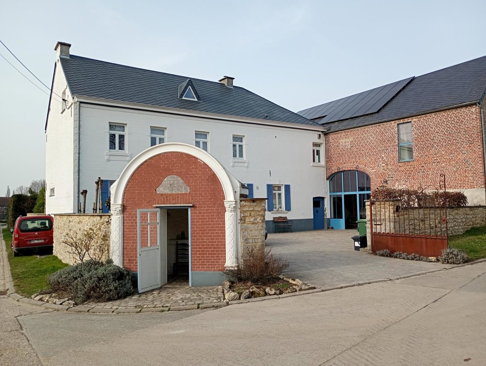
Public parking rue des Beaux Prés 16 - Mélin
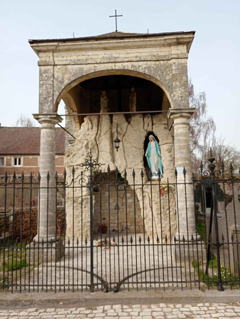
Mélin is one of the most beautiful villages in Wallonia. We start at the Church of Our Lady of the Visitation. This little church is part of the 'open churches' network and is thus accessible every day. In front of the church, there is a very striking Marian grotto, and the cemetery could be described in a Stephen King novel - old half-sunken graves, fallen crosses, cracked tombstones, with here and there a recent tombstone that stands out.
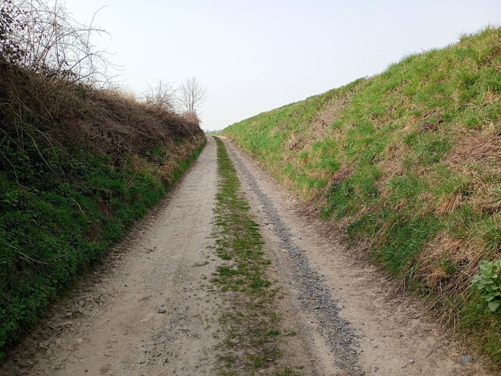
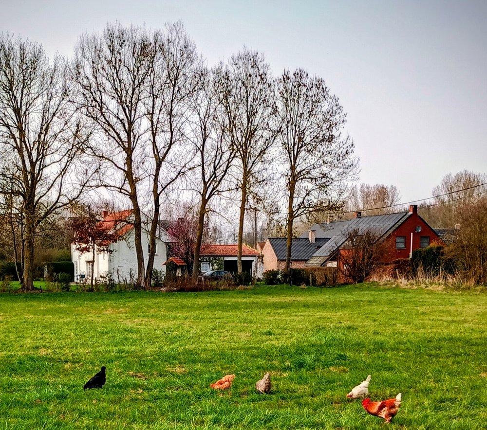
The walk itself is through the fields and may be perceived as rather boring, but it's a real silence zone here and apart from the birds, there is no noise. Afterwards, through the hamlet of Sclimpré, we continue to Sart-Mélin with the classified St. Anthony's Chapel from the 16th century, which was probably connected to a lepers' house.
The last 3 kilometers we walk 200 meters from the Waversesteenweg, so at the chapel, the silence zone ends. The field paths are muddy during rainy periods. No hospitality services along the way.
automatic translation


 Upgrade to Premium Plus
