 Hiking
 Login
Login
 More
More
 EN
EN
 Premium
Eight Beatitudes
automatic translation
9.5 km • Reusel-De Mierden
2.1241 1 5/5

 Addresse starting point (approximate)
Burg. Willekenslaan 5, 5541 NA Buitengebied ten zuiden van Reusel, NL
 signage
The route is fully signposted with nodes.
 Description
We did this walk on 07/03/2026 (12,878 steps)
'Acht Zaligheden' is a collective name for eight places with names ending in -sel from the Dutch province of North Brabant, located in the Kempen, southwest of Eindhoven and consisting of the places: Duizel, Eersel, Hulsel, Knegsel, Netersel, Reusel, Steensel and Wintelre, alias Wintersel. What was once a joking nickname grew into an honorary title for this region.
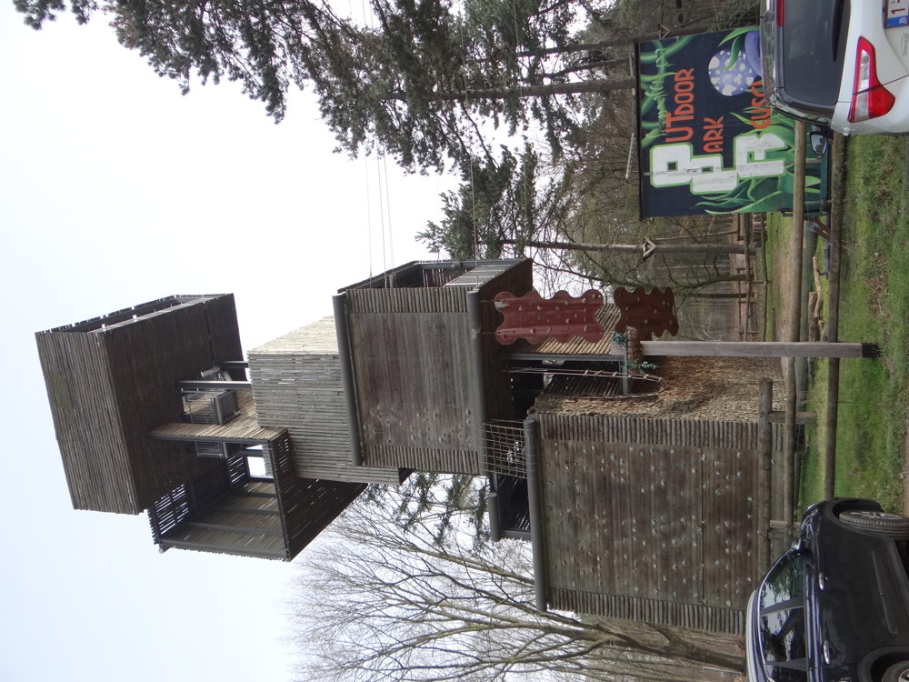
Start and end at the watchtower of the Outdoor Park in Reusel. During opening hours the tower can be visited; upon request, it is opened additionally. After 112 steps, a wide view over the surroundings awaits. Check the opening times in advance at outdoorparkreusel.nl.
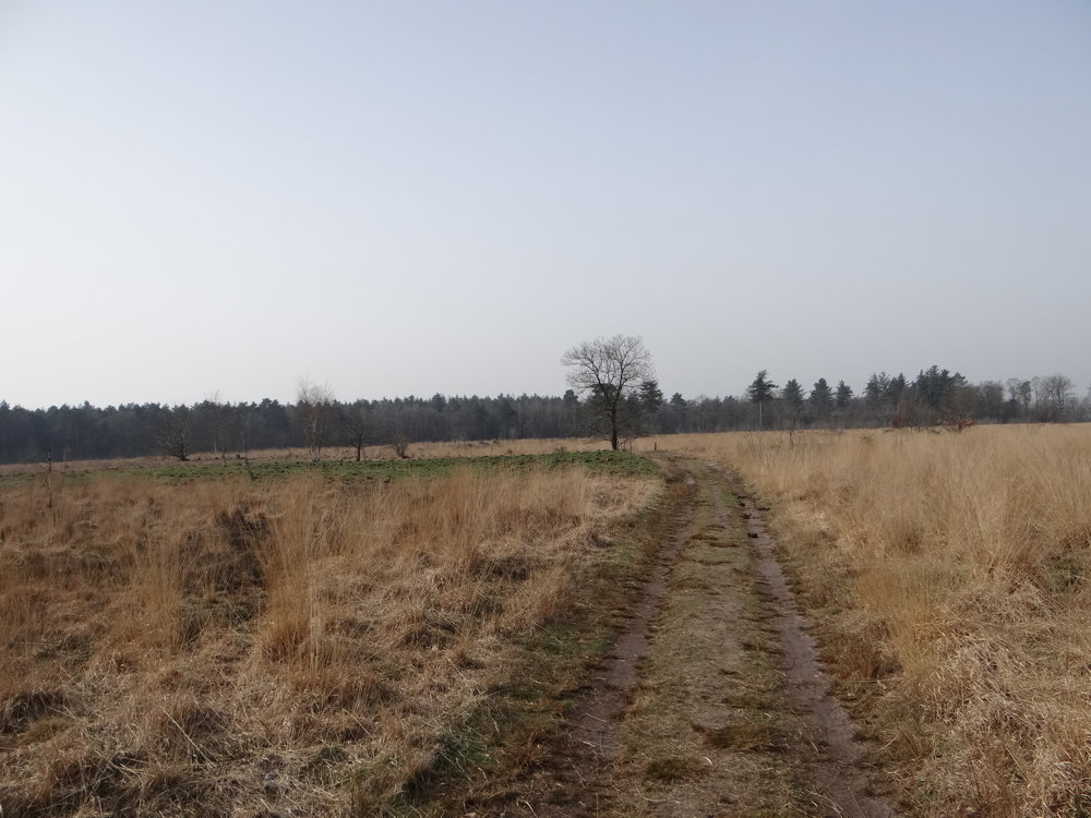
The route leads through the quiet forests of the Peelsche and Kroonvensche Heide, a mix of pines, heather, and open spaces where the Kempen show their tranquil character.
More photos: https://photos.app.goo.gl/mpxXV6aeU2KNG8dX6
Happy walking,
Eddy, Rita, and Prinske
automatic translation
 nodes to follow
0 km
1.3 km
2.4 km
4.1 km
4.6 km
5.6 km
6.1 km
6.7 km
7.8 km
8.3 km
8.5 km
9.5 km
Saturday, May 23, 2026 by Thies Kuijpers Almost there! We, Thies and Rita, have recently discovered the hiking trail junctions in the Netherlands.
automatic translation
Saturday, May 30, 2026 by Eddy & RitaHi Thies and Rita. Thanks for your kind comment. Enjoy your walks!
automatic translation


 Upgrade to Premium Plus
