 Hiking
 Login
Login
 More
More
 EN
EN
 Premium
Celtic Fields in the Kolisbos
automatic translation
9.9 km • Pelt
2.8202 1 5/5

 Addresse starting point (approximate)
Torenstraat 30, 3910 Neerpelt, BE
 signage
The route is fully signposted with nodes.
 Description
Done on 03/05/2026 (13,310 steps)
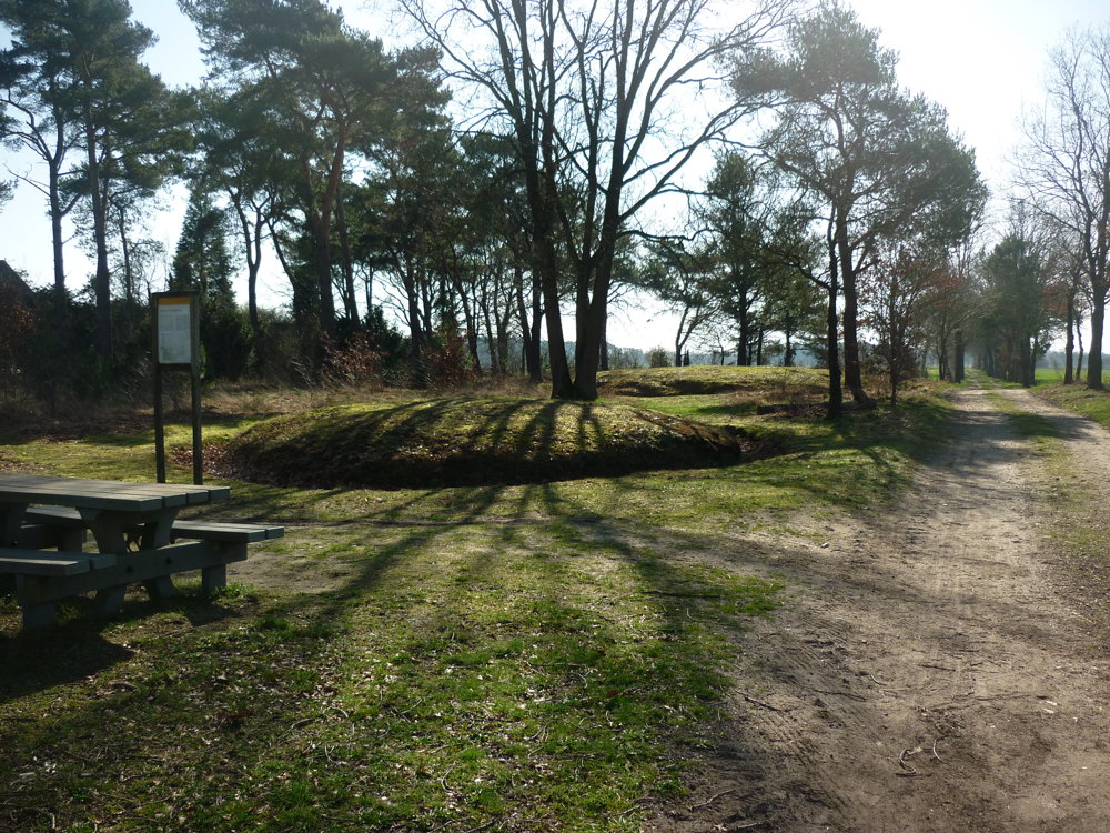
The Celtic Fields in the Kolisbos are small, square plots of about 40 × 40 meters, established from around 800 BC and sometimes used until Roman times. They are exceptionally well-preserved because the area remained wooded for a long time. Thanks to laser altimetry, many fields became visible here, with banks that were once up to 1 meter high.
Archaeological research shows that wheat was cultivated here between 800 and 400 BC. In and around the Kolisbos, other traces have also been found, such as a Roman settlement and prehistoric burial sites.
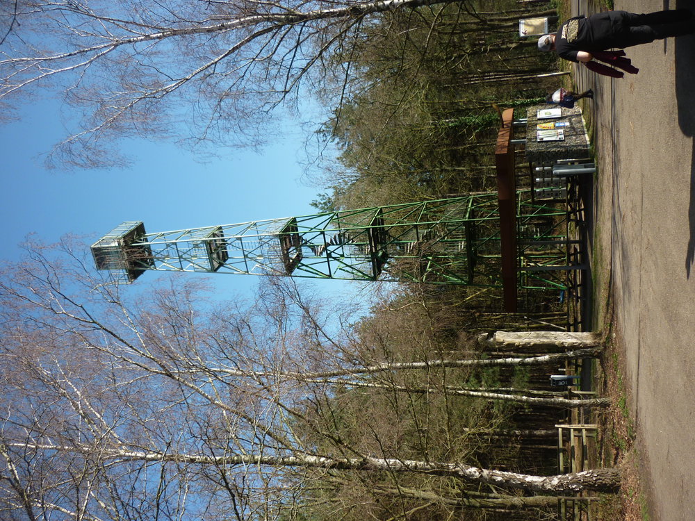
The route starts and ends at the parking lot at a lookout tower that is accessible to the public via a spiral staircase up to the first platform.
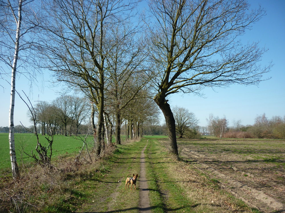
The first part of the walk goes along farms and between fields. On the way, one passes the 'De Roosen' burial ground. Halfway through the walk, you enter the forest.
More photos: https://photos.app.goo.gl/U3joS8jq5eJ2kepa7
Eddy, Rita, and Prinske
automatic translation
 nodes to follow
0 km
0.6 km
1.7 km
1.7 km
2.7 km
2.8 km
3.1 km
3.8 km
4.9 km
5.9 km
6.1 km
7.2 km
8.2 km
9.1 km
9.3 km
9.5 km
9.9 km


 Upgrade to Premium Plus
