 Hiking
 Login
Login
 More
More
 EN
EN
 Premium
Olen: Teunenberg
automatic translation
8.2 km • Olen
3.9321 1 4/5

 Addresse starting point (approximate)
Tramstraat 9A, 2250 Olen, BE
 signage
The route is fully signposted with thematic signs (no nodes).
 Description
We did this walk on 03/03/2026 (11,842 steps).
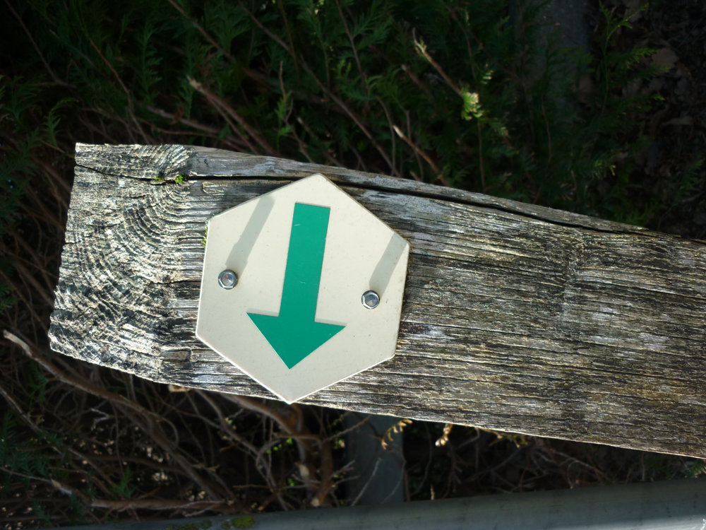
Route markings in one direction: green arrow on white background.
Teunenberg – Nieuwe Hoeve evolved from an open heathland to an extensive coniferous forest where woods and heath alternate. In the 1950s, the British army established a military domain here, the English Camp. During the walk, you pass some former storage areas that are still visible in the landscape. You also follow an old railway line that crosses the area and now serves as a peaceful cycling and walking path.
At one point, you momentarily leave the tranquility of the forest and come close to the E313. The traffic noise forms a brief contrast with the calm of Teunenberg, making the serenity of the rest of the walk stand out even more.
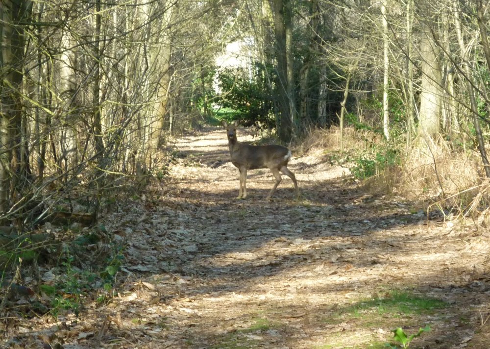
With a bit of luck, you can spot deer. We saw four, one of which stood still, motionless.
More photos: https://photos.app.goo.gl/vTwaiYXtMTUF8Fvv7
Happy walking,
Eddy, Rita, and Prinske
automatic translation


 Upgrade to Premium Plus
