Loading...

Femke For Life walk

automatic translation

8.7 km • Haacht

2.9383 0 0/5

8.7 km 0.0 km 0.0 km

route offered by

Badge of official route

more info

Icon starting point Addresse starting point (approximate)

Petrus Mertensweg 1 (parking)

Icon type signage of route signage

The route is partially signposted with nodes, partially with thematic signs.

5m 5m 5m 5m
Atmosphere image 1 of route Femke For Life walk Atmosphere image 2 of route Femke For Life walk Atmosphere image 3 of route Femke For Life walk
© Erik Van den Bosch

Icon description route Description

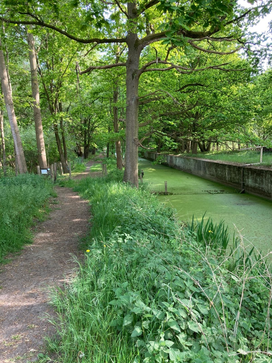
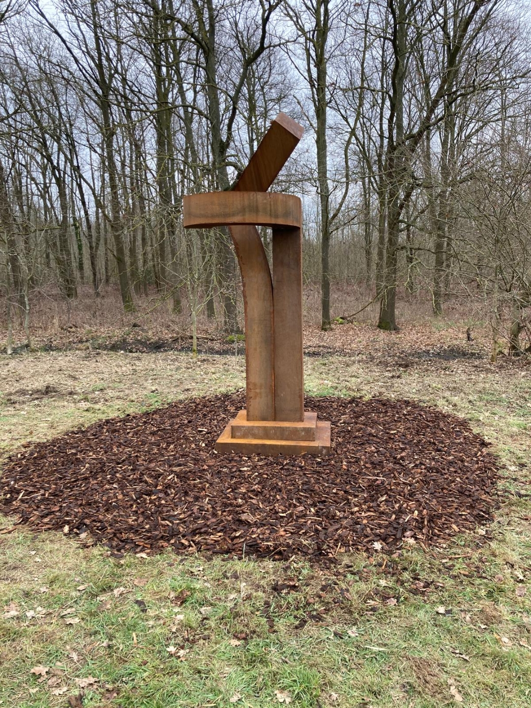
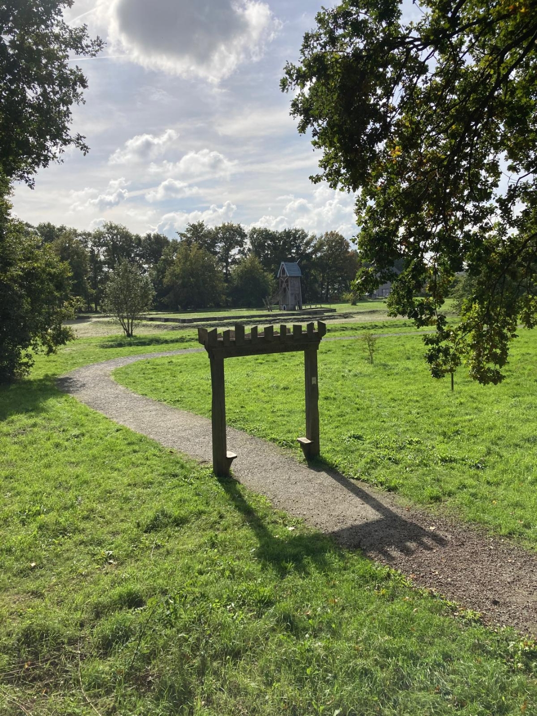
This walk in memory of Femke runs through the beautiful Haacht nature reserve of the Antitankgracht and the green banks of the Dijle. Yellow flower signage.

With this walk the non-profit organization Femke for Life wants to draw attention to the often underestimated problems of eating disorders. The organization wants not only to raise awareness, but also to give a clear sign of solidarity to all those who fight against this complex problem.

We would like to keep Femke alive, forever close by.

Hope is being able to see that there is light
despite all of the darkness

automatic translation

Icon nodes to follow nodes to follow

Image node TP
0 km
Image node 515
0.6 km
Image node 516
1.3 km
Image node TP
1.4 km
Icon deviation route
1.9 km
Image node 53
2.4 km
Image node TP
2.8 km
Icon deviation route
3.3 km
Icon deviation route
3.5 km
Icon deviation route
3.7 km
Icon deviation route
4.5 km
Icon deviation route
5 km
Icon deviation route
5.3 km
Image node TP
6.3 km
Icon deviation route
6.6 km
Icon deviation route
6.8 km
Icon deviation route
7.3 km
Image node 501
7.5 km
Image node TP
8.6 km

Alternative versions

11.4 km

Antitankgrachtwandeling

Bekijk route
This route does not have any reviews yet. Be the first!
Rate route!

Which POI do you want to show on the map?

Experimental hiking network
Unsigned icon

The route you have chosen runs (partly) along an experimental virtual hiking node network (the blue-coloured nodes and sections on the map).

You must be logged in to plan routes here.

Experimental hiking network
Unsigned icon

The route you have chosen runs (partly) along an experimental virtual hiking node network (the blue-coloured nodes and sections on the map).

These routes are not controlled in the field. Before you start hiking here, take a minute to read what an experimental hiking node network is and what rules you should follow when hiking here.