 Hiking
 Login
Login
 More
More
 EN
EN
 Premium
Lichtaart: Campine Ridge
automatic translation
10.4 km • Kasterlee
2.8193 0 0/5

 Addresse starting point (approximate)
Herentalsesteenweg 64A, 2460 Kasterlee, BE
 signage
The route is partially signposted with nodes. Use a GPS device or our app to follow the route.
 Description
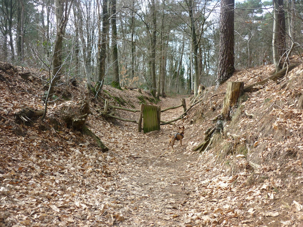
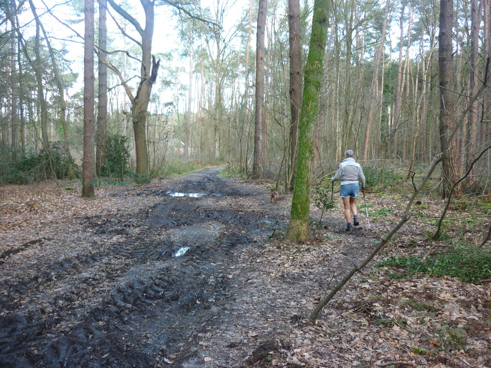
We took this walk on 01/03/2026 (13,944 steps).
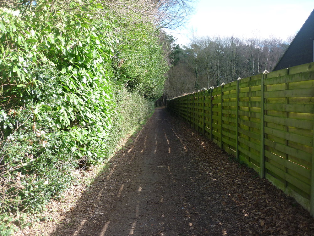
For the route, we used the junction network and MTB routes. The Kempense Heuvelrug is an excellent walking area. The elongated sand ridge runs from Retie to Grobbendonk and forms the largest relief in the Antwerp Kempen.
This Kempense Heuvelrug is a unique natural area, formed from ancient land dunes left behind when the sea retreated. Over a distance of about 15 kilometers, the ridge connects various municipalities, including Retie, Kasterlee, Herentals, Lille, Vorselaar, and Grobbendonk.
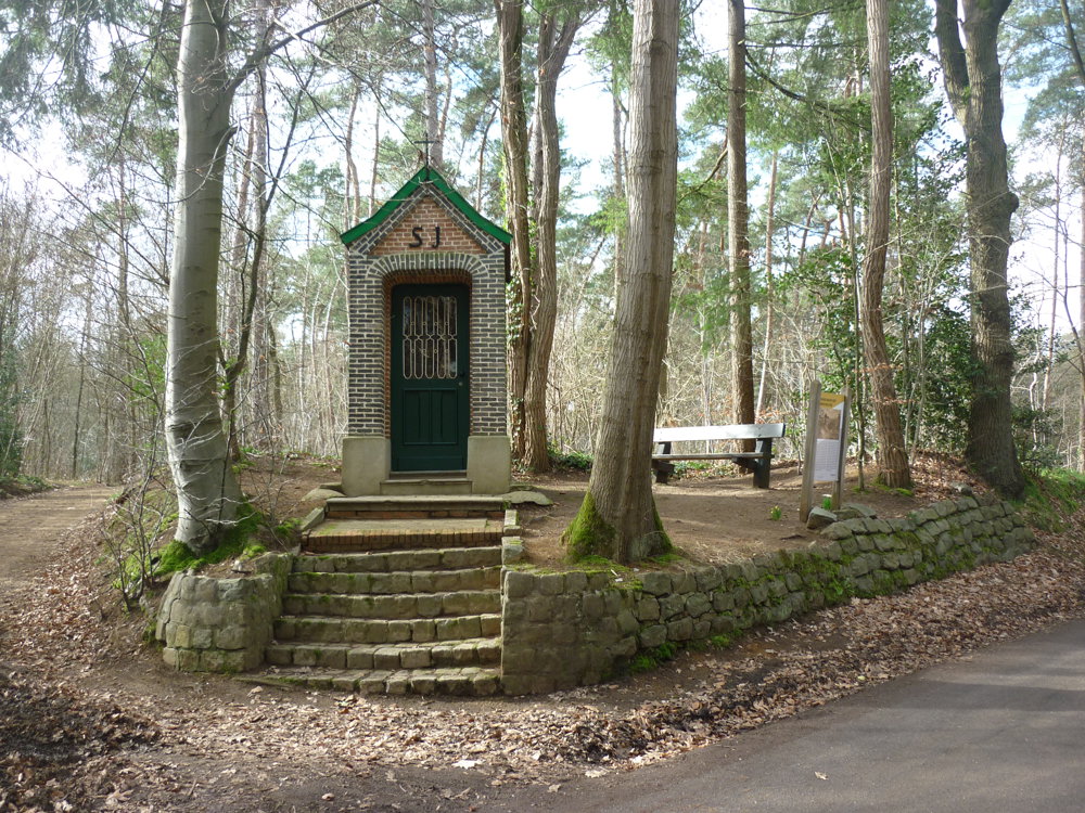
This walk offers the hiker a variety of terrains and sights, such as the beautiful nature, sunken roads, beautiful chapels with information, and much more.
More photos: https://photos.app.goo.gl/o9hfsn1YaJGdv81h9
Happy hiking,
Eddy, Rita, and Prinske
automatic translation
 nodes to follow
0 km
0.5 km
1.7 km
2.1 km
3.8 km
4.4 km
5.2 km
6.4 km
6.6 km

7.1 km
8.3 km
8.6 km
9.7 km
10.1 km
10.4 km


 Upgrade to Premium Plus
