
 Hiking
 Login
Login
 More
More
 EN
EN
 Premium
Asper - Gavere (Zwalm Region)
automatic translation
14.5 km • Kruisem
3.57210 0 0/5

 Addresse starting point (approximate)
Kwaadstraat 19, 9750 Syngem, BE
 signage
The route is not signposted. Use a GPS device or our app to follow the route.
 Description
Departure: Zingem cemetery - Kerkhofstraat 12 - Kruisem
A varied walk through the picturesque Zwalm region.
We start on the left bank of the Scheldt. After about 1 km, we pass the Wannelappersbos, a play forest with a Finnish track and a fit-o-meter (for those athletic folks who don't want to pay for a gym membership).
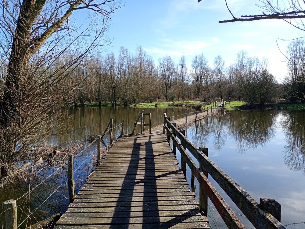
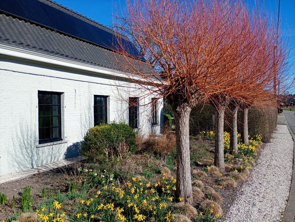
Then, we walk through the beautiful nature reserve De Grootmeers: marshy meadows in a floodplain, bordered by streams and pollarded willows. Next, we cross the bridge to the right bank along the Scheldt and enter the Kaaimeersen. Once we cross the next bridge, we return via the bike path along the Scheldt and the Meersen back to the starting point.
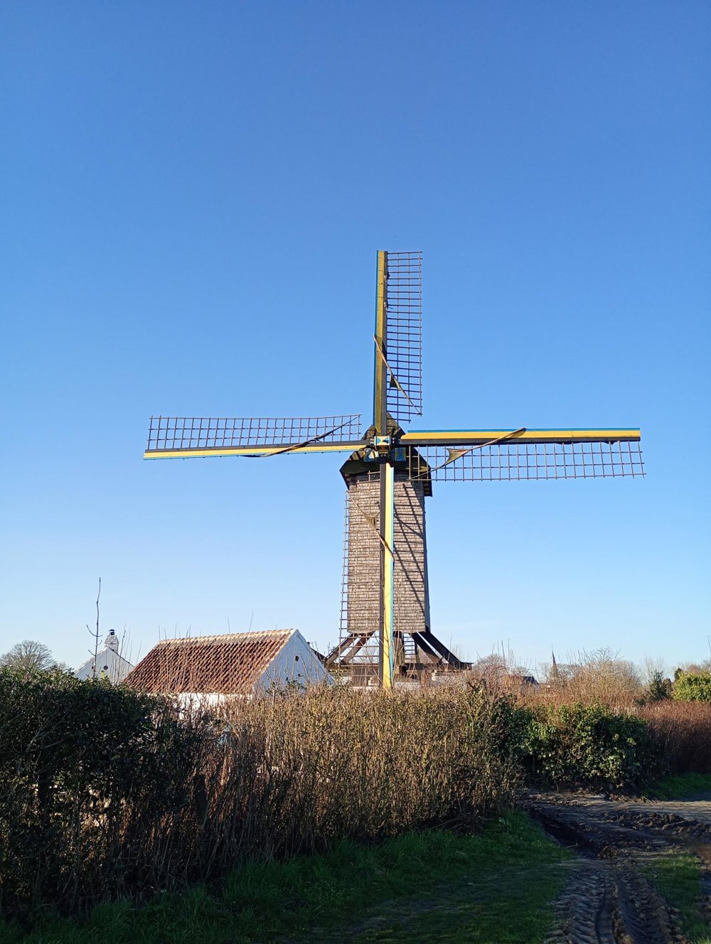
Just before the end, we pass the provincial mill 'Meuleken ’t Dal', with blades painted in the colors of the Ukrainian flag.
Sanitary stops: after 4 km at the Provincial Nature Education Centre 'De Kaaihoeve' or after 8 km at the cafeteria of the Scaldis sports center.
automatic translation



 Upgrade to Premium Plus


