
 Hiking
 Login
Login
 More
More
 EN
EN
 Premium
From Vrieselhof to Zoerselbos along villa and forest
automatic translation
19.3 km • Ranst
4.4927 0 0/5

 Addresse starting point (approximate)
Schildesteenweg 95, 2520 Ranst, BE
 signage
The route is fully signposted with nodes.
 Description
Free parking at Provinciaal Domein Vrieselhof
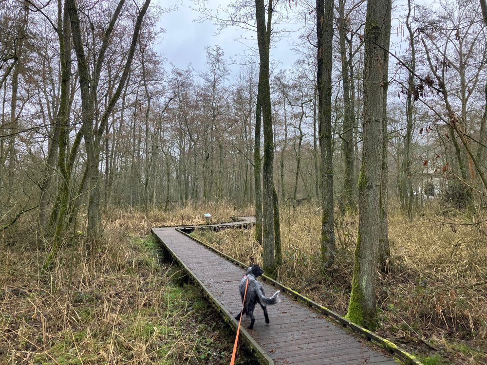
Predominantly unpaved walk (65%) through woods and quiet villa neighborhoods with 4 well-distributed hospitality stops.
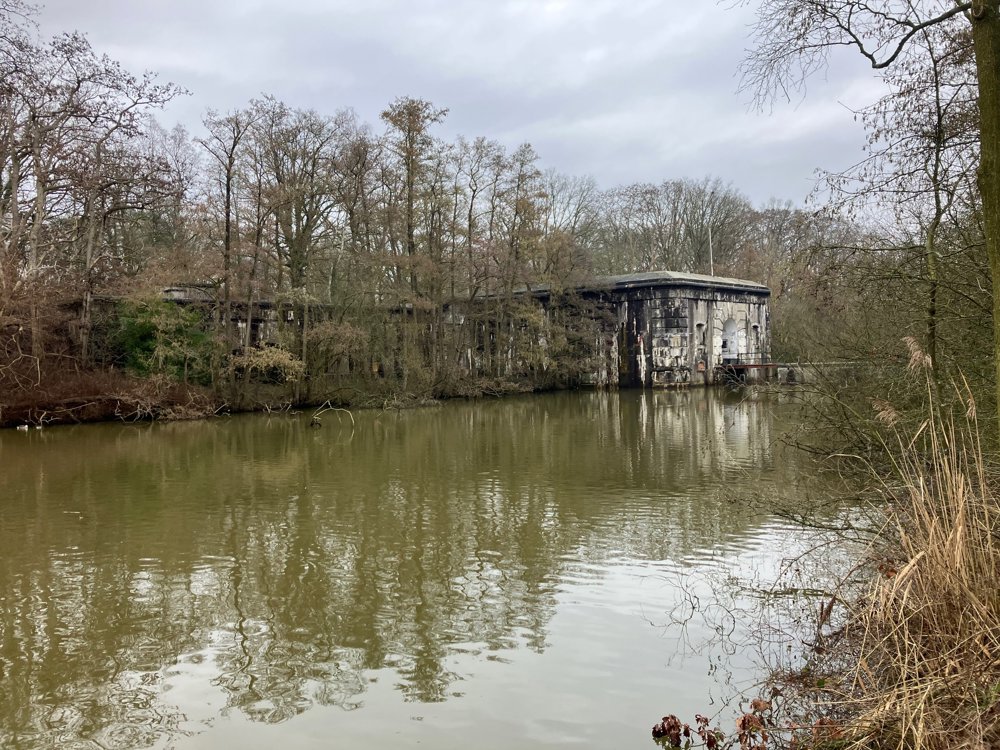
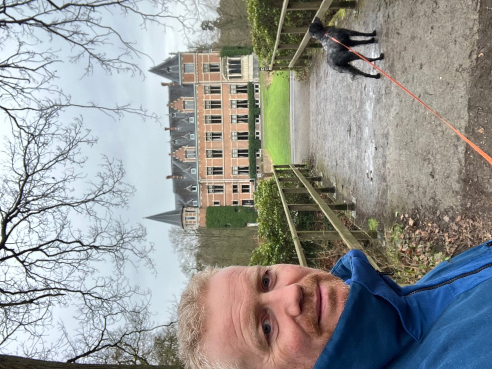
The view of the 80-hectare green domain and castle Vrieselhof is largely determined by the Groot Schijn (a tributary of the Scheldt), the Heidebeek, the Vrieselbeek and the Rosse Beek. Along the anti-tank ditch at the fort of Oelegem, you walk towards the municipal park Hallehof with "De Castelijnshoeve" at point 3.
Along the chic residential edge of Sint-Antonius, you search for the nature area Zoerselbos, where the charm of " 't Boshuisje" at point 20, with its visitor center, may give you as much writing inspiration as Hendrik Conscience. No free tables? A bit further is "In de wandeling" at point 19.
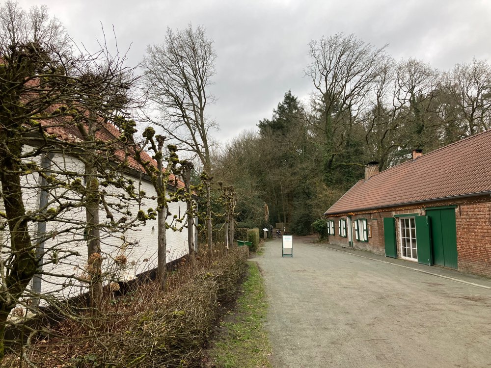
After an inevitably busier section towards Halle (towards point 18), you dive back into the Halse woods to the tranquility of the "Remise" at point 8, close to the stately castle Vrieselhof.
High walking shoes in wet periods.
Dogs on a leash.
automatic translation
 nodes to follow
0 km
1.4 km
2.1 km
2.2 km
2.8 km
3.1 km
3.6 km
4.6 km
5.1 km
5.8 km
6.1 km
7 km
7.6 km
9.5 km
10.1 km
10.4 km
11.4 km
11.4 km
11.9 km
13.8 km
14.1 km
14.9 km
15.1 km
15.9 km
16.6 km
17.9 km
18.2 km
18.2 km
18.3 km
19.1 km
19.3 km



 Upgrade to Premium Plus


