
 Hiking
 Login
Login
 More
More
 EN
EN
 Premium
Along open fields, forests and water from Horst
automatic translation
16.3 km • Holsbeek
4.1317 0 0/5

 Addresse starting point (approximate)
Horststraat 28A, 3220 Holsbeek, BE
 signage
The route is fully signposted with nodes.
 Description
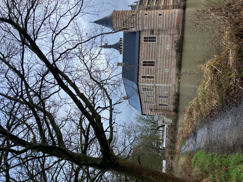
Park at the Castle of Horst (alt. Gempemolen point 237)
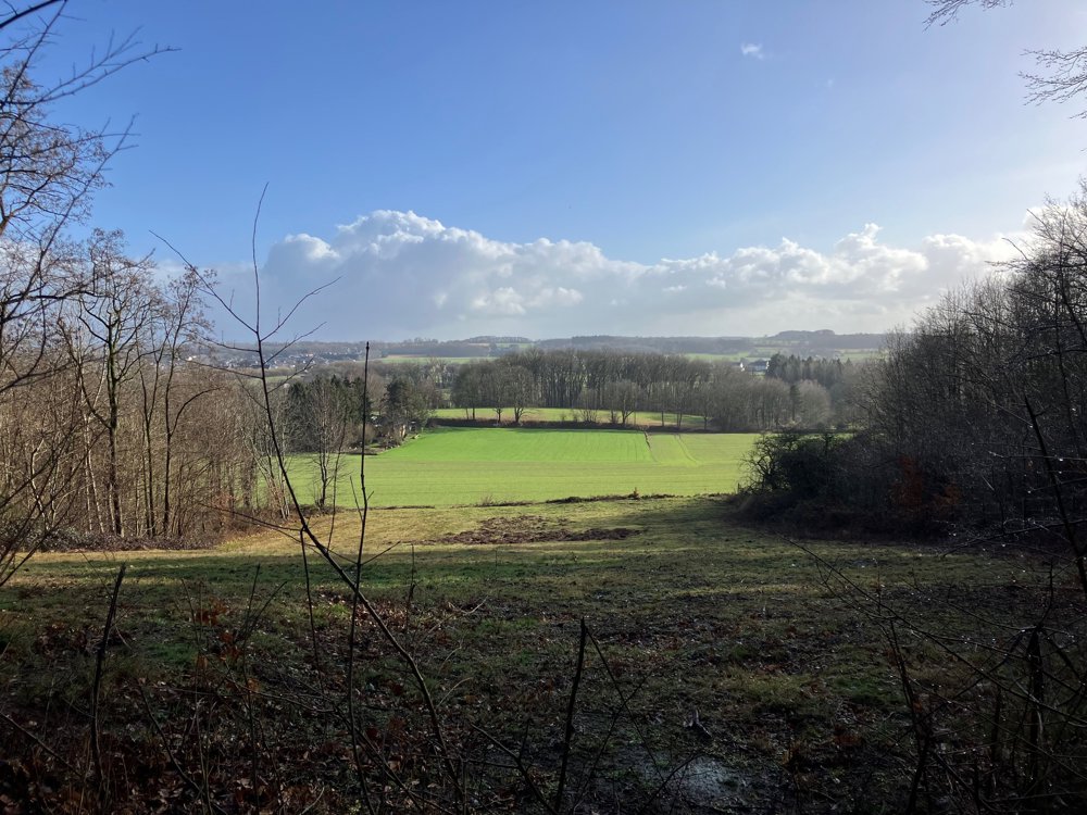
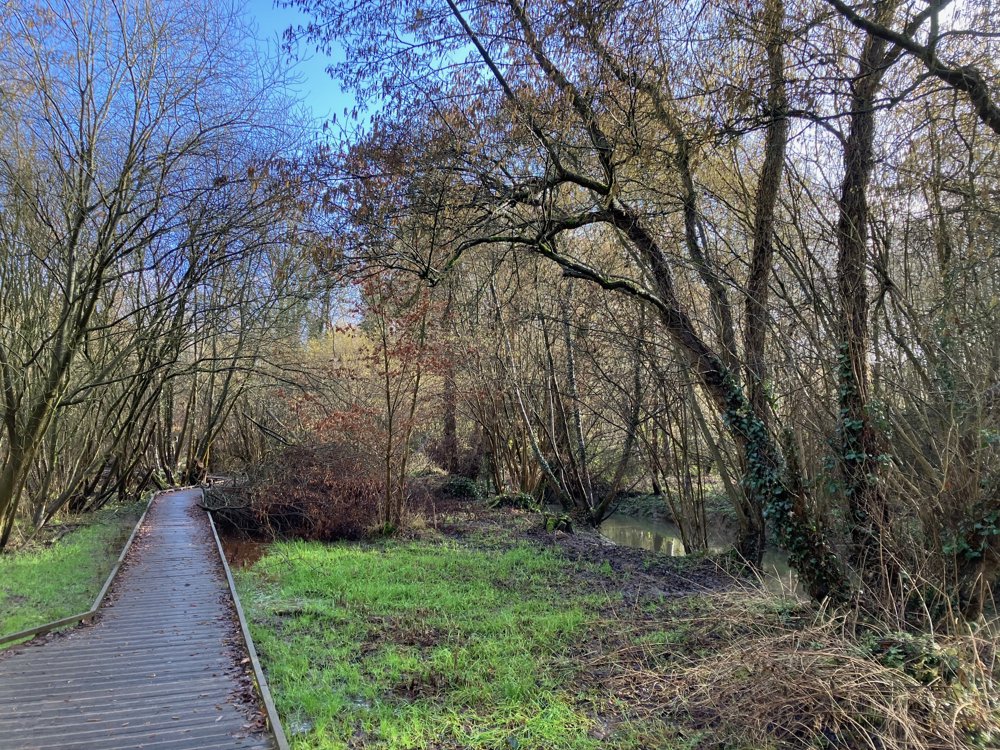
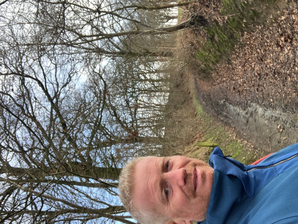
This walk goes up and down through the Hageland hills that form the border between the sandy Kempen and the fertile Haspengouw. The ground is largely unpaved (66%) and can be quite muddy, partly due to the typical hollow roads and vast fields. But quiet paths and wooden boardwalks are also included.
You should be prepared to make a somewhat adventurous stream crossing via a collapsed bridge near the Gempemolen. You also pass through a few patches of forest, most notably the beautiful Troostemberg Forest, which has a special charm in every season, even in harsh weather!
Several beautiful historical buildings and a distant viewpoint here and there spice up the journey, which is a longer mix of various existing routes.
Catering: see start (+ possibly Sint-Pieters-Rode / Kortrijk-Dutsel outside route)
Dogs on a leash welcome.
High hiking boots necessary, especially in wet periods.
automatic translation
 nodes to follow
0 km
0.7 km
1.8 km
2.7 km
3.9 km
4.7 km
6.3 km
6.4 km
7.2 km
8.9 km
10 km
10.2 km
10.9 km
11.5 km
11.9 km
13.1 km
13.5 km
14.2 km
14.6 km
15.3 km
16.3 km



 Upgrade to Premium Plus


