 Hiking
 Login
Login
 More
More
 EN
EN
 Premium
Drongengoedbos hiking trail
automatic translation
13.7 km • Aalter
 official route
11.78635 8 4.1/5
 Addresse starting point (approximate)
Drongengoedweg 11, 9910 Ursel
 signage
The route is fully signposted with nodes.
 Description
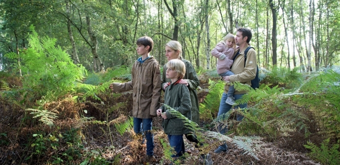
The Drongengoed Landscape Park is the largest continuous forest area in East Flanders. In addition to hikers and cyclists, you will also encounter grazing cows and sheep. The first part of the route takes you through the Maldegemveld before exploring the Drongengoedbos and stopping at the Drongengoedhoeve.
The Drongengoedbos walking route is offered by Routen, an initiative of Tourism East Flanders.
automatic translation
 nodes to follow
0 km
1.6 km
1.9 km
3.7 km
4.3 km
5.2 km
5.8 km
6.8 km
6.8 km
7.7 km
8 km
8.4 km
9.5 km
9.8 km
10.5 km
10.9 km
11.2 km
11.5 km
11.7 km
12 km
12.2 km
13.6 km
Sunday, June 28, 2026 by Lien Van BeversluysA beautiful walk! It was fun to spot fallow deer along the way!
In some places, some of the vegetation could be thinned out a bit.
But I definitely recommend this route!
automatic translation
Saturday, April 11, 2026 by S.A.A beautiful wooded area surrounding an airport where you can regularly see small planes taking off and landing. The route offers plenty of benches and picnic spots for a rest. There is ample parking, but keep in mind that there are no restrooms. Fortunately, you’ll pass a few cozy restaurants along the way. A varied walk!
automatic translation
Saturday, September 7, 2024 by S.V.beautiful nature walk!
automatic translation
Sunday, November 14, 2021 by V.G.Very nice nature walk.
automatic translation
Monday, August 23, 2021 by Dirk CalsynWonderful walk in the spring sunshine. The woods colored, the flowers scented and the airplanes made us grieve effusively.
automatic translation
Monday, August 23, 2021 by D.C.Toppie. The forests breathe oxygen, the planes a little less. Beautiful hike, enjoyed in spring sunshine.
automatic translation
Sunday, June 27, 2021 by Yuri De bockDone this route this afternoon, but you should note that if you follow this route through these hiking points that it is 3km further walking than indicated here, personally I don't have a problem with it but if there are people who assume and focus on that 13km then that extra 3km may start to disappoint.
automatic translation
Friday, December 25, 2020 by C.D.highly recommended, especially with children having extra fun in the play forest
automatic translation


 Upgrade to Premium Plus
