
 Hiking
 Login
Login
 More
More
 EN
EN
 Premium
Meetkerke (Zuienkerke)
automatic translation
10.8 km • Zuienkerke
3.9184 1 5/5

 Addresse starting point (approximate)
Oude Molenweg 15, 8377 Meetkerke, BE
 signage
The route is not signposted. Use a GPS device or our app to follow the route.
 Description
Departure: OLV Church parking - Oude Molenweg 15 - Zuienkerke
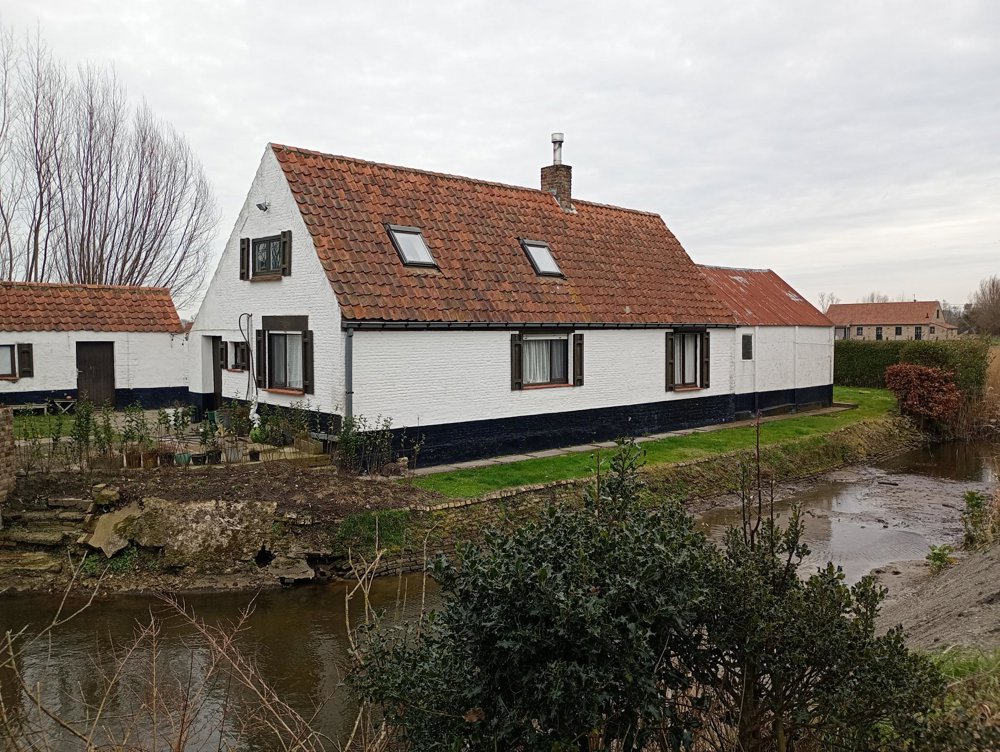
Meetkerke, an authentically preserved village with a beautiful little church and an old but well-kept cemetery. And there are even local dining establishments where you can enjoy something after the walk!
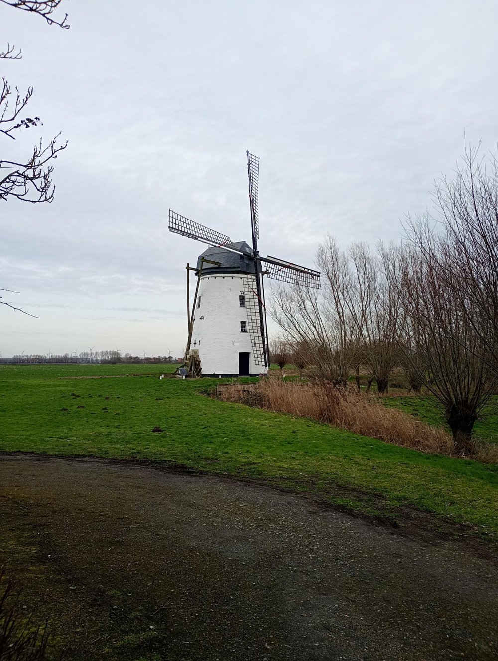
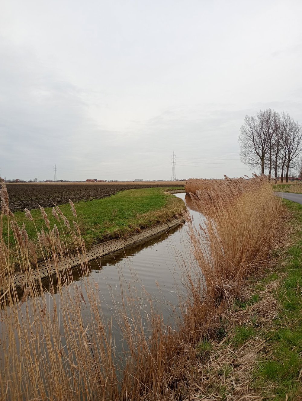
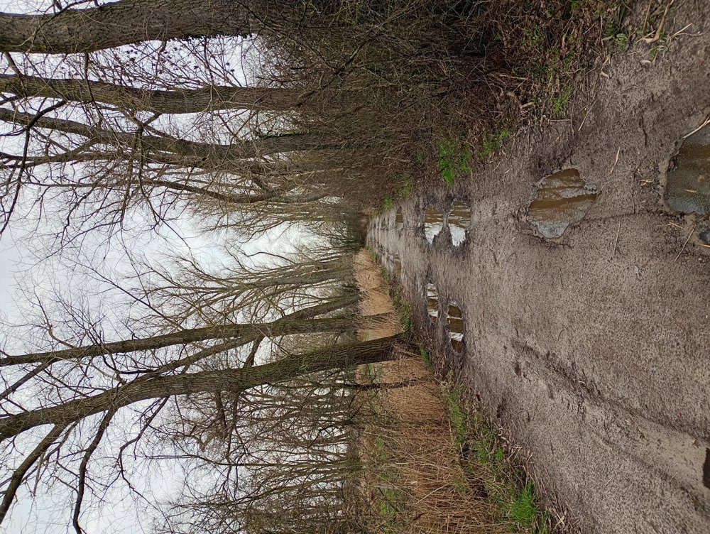
We start the walk along the Blankenbergse Vaart to the Great Mill. This windmill has a scoop wheel to transfer the excess water from the Moeren to the Blankenbergse Vaart. Then we walk through the Meetkerkse Moeren, a marshy flood area with lots of reeds along the streams and waterways. Staying on the paths is the key. Cutting corners may seem shorter, but it can lead to surprises (and wet feet).
Next, we follow along the bike path the Ghent-Ostend canal and then through the fields back to Meetkerke. This second part is fully paved asphalt, but apart from a few horse riders and cyclists, there's virtually no traffic.
automatic translation
Saturday, February 21, 2026 by H.C.The correct place name is: Meetkerke. This will improve its "findability."
Kind regards, H
automatic translation
Saturday, February 21, 2026 by Peter D'hontThe place name was changed in the text. I think it was an AI error.
automatic translation



 Upgrade to Premium Plus


