
 Hiking
 Login
Login
 More
More
 EN
EN
 Premium
Brabant Woods - National Park
automatic translation
13.2 km • Oud-Heverlee
2.4554 0 0/5

 Addresse starting point (approximate)
Stationsstraat 14, 3051 Oud-Heverlee, BE
 signage
The route is not signposted. Use a GPS device or our app to follow the route.
 Description
Departure: NMBS station Sint-Joris-Weert
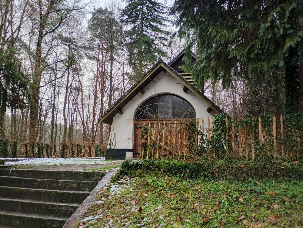
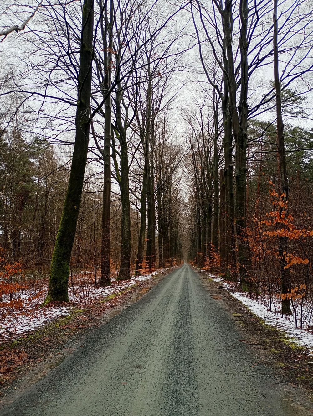
A walk through a quiet area near Leuven. We depart through the beautiful village of Sint-Joris-Weert to the Meerdaal Forest. Here we pass by the Hopper, a youth accommodation of the Catholic scouts with a beautiful wooden chapel in the scouts' village. There are various buildings and tents for scout groups. During holiday periods, it is naturally less quiet.
Afterwards, through the woods, we arrive at Steenberg. A camping site in the woods, where wild camping is allowed after registration with the Nature and Forest Agency. There is a hand pump for water, a fire pit, wood, and even a small wooden cabin with a compost toilet.
Next, we pass by the heavily guarded army munitions depot, then descend back to Sint-Joris-Weert station.
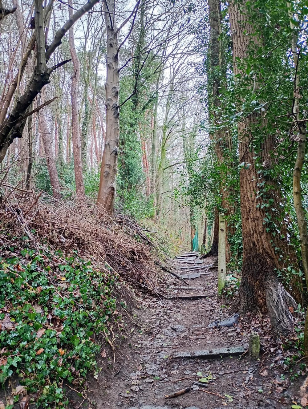
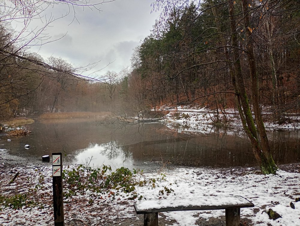
Plenty of benches and picnic areas along the way. However, very muddy paths. The paths crisscross the forest in all directions, so it is easy to extend or shorten the walk.
automatic translation



 Upgrade to Premium Plus


