
 Hiking
 Login
Login
 More
More
 EN
EN
 Premium
Overview of Mechelen within the ring (train?)
automatic translation
9.8 km • Mechelen
2.5314 0 0/5

 Addresse starting point (approximate)
Koning Albertplein 28-29, 2800 Mechelen Centrum, BE
 signage
The route is not signposted. Use a GPS device or our app to follow the route through the virtual nodes.
 Description
Come by train (or park at the station) or park for free at Douaneplein (extra point 68 - point 13).
The walk has charm in every season and at every moment of the day.
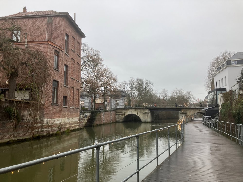
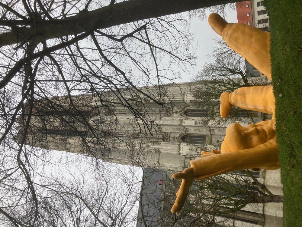
The first part deliberately takes you through loops to view the known places from different vantage points: Dijlepad, Havenwerf with the former Lamot brewery, Sinte Mettetuin, Bruul, Botermarkt, Grote Markt with the town hall, Sint-Rombouts Cathedral, Ijzerenleen, Vismarkt, Kraanbrug, ...
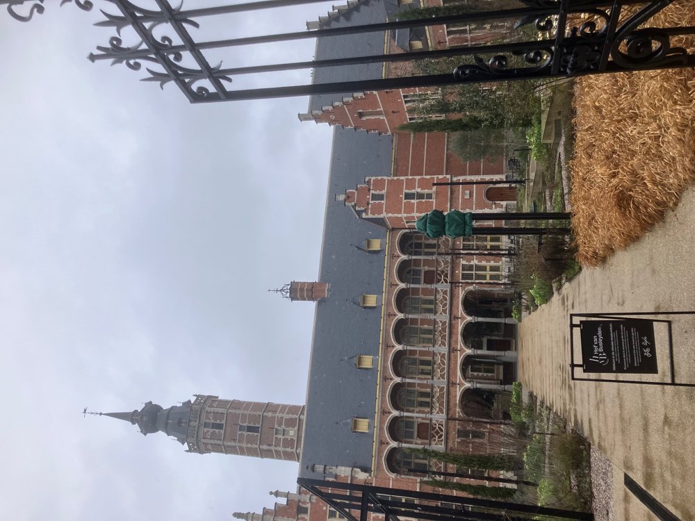
The second part takes you through less known places: 't Veer with special houses and the former windmill/gallows, Het Anker brewery since 1369, picturesque streets around Begijnhofkerk and Sint-Katelijnekerk, Kazerne Dossin with Tineltuin and a beautiful museum (highly recommended!), archiepiscopal garden, Hof van Busleyden, the famous Veemarkt (theatre, court, Vadderik), Duivelsvlietje, Rik Wouter's garden, Kruidtuin ... Be sure to visit the old Vleeshallen for dining!
Dining options everywhere.
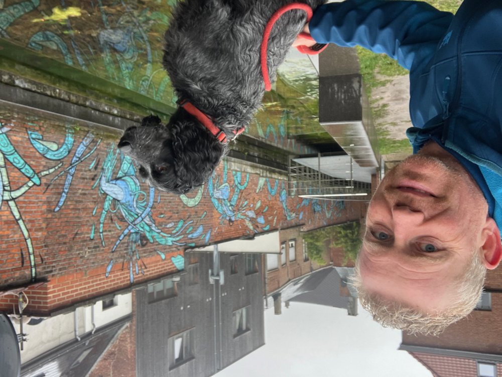
Dogs are allowed on a leash.
Walking shoes are handy for cobblestones, gardens, and bridges.
automatic translation
 nodes to follow
0 km
0.4 km
0.6 km
0.7 km
1 km
1.2 km
1.3 km
1.5 km
1.6 km
1.6 km
2 km
2.2 km
2.2 km
2.3 km
2.4 km
2.4 km
2.5 km
2.6 km
2.6 km
2.7 km
2.7 km
2.8 km
3 km
3.1 km
3.3 km
4 km
4.1 km
4.1 km
4.2 km
4.4 km
4.5 km
4.5 km
4.6 km
4.6 km
4.7 km
4.8 km
5.5 km
5.9 km
6.2 km
6.2 km
6.3 km
6.3 km
6.5 km
6.5 km
6.7 km
6.8 km
6.8 km
6.9 km
7.5 km
7.6 km
7.9 km
8.3 km
8.4 km
8.5 km
8.6 km
8.7 km
8.7 km
8.9 km
9 km
9.1 km
9.1 km
9.4 km
9.8 km



 Upgrade to Premium Plus


