
 Hiking
 Login
Login
 More
More
 EN
EN
 Premium
The Old Bleaching Grounds and Congo Canal
automatic translation
8.9 km • Mol
2.4424 4 5/5

 Addresse starting point (approximate)
Feynend 135, 2400 Mol, BE
 signage
The route is fully signposted with nodes.
 Description
We took this hike on 15/02/2026 (12,898 steps).
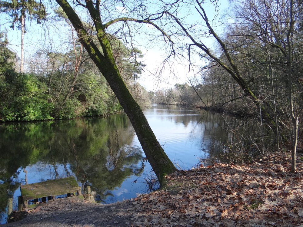
This wooded route partially goes through the 'Oude Bleken' area. The name 'Oude Bleken', combined with this specific landscape, seems to point to the use of this zone in the bleaching or blanching industry. The very pure and mineral-poor water was used to bleach textiles, often in a semi-industrial setting.
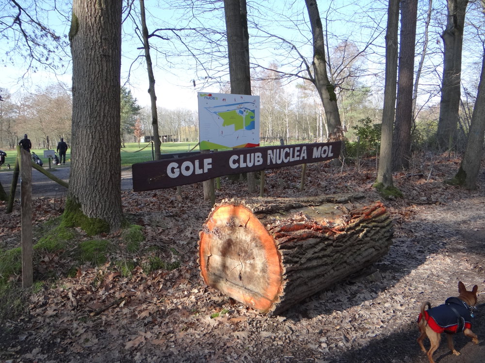
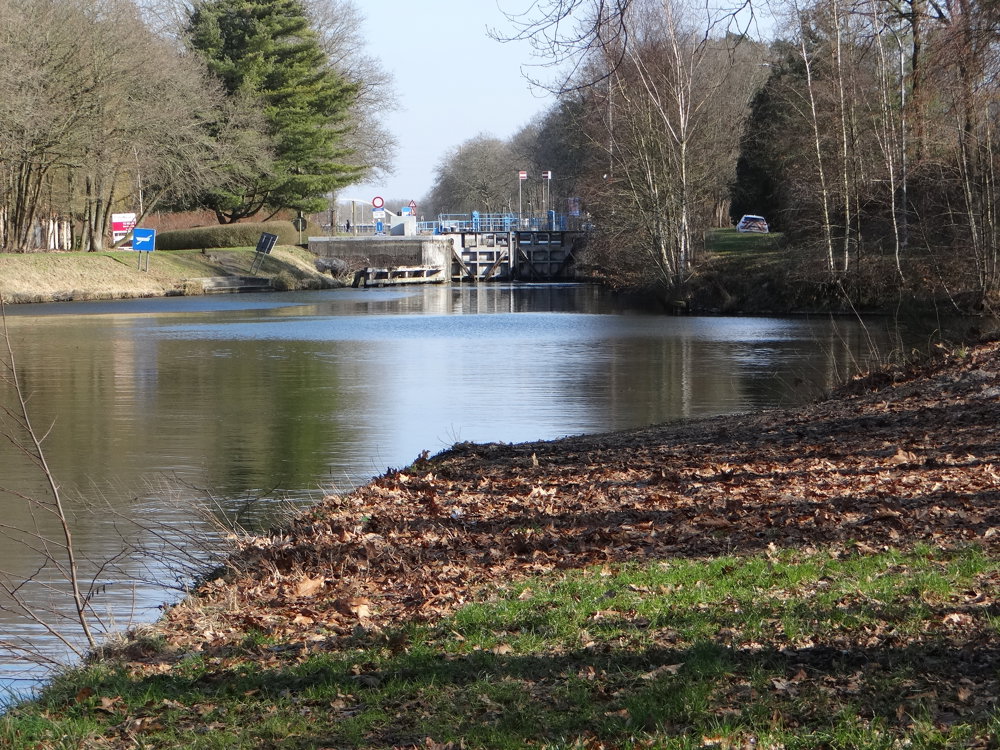
Via the 'Muizenberg', one passes the 'Nuclea Golf Club'. Approaching junction 56, we made a short detour to take in a beautiful stretch of the 'Congovaart'. The canal was constructed at the end of the 19th century and was intended as a passage for shipping for all adjacent companies.
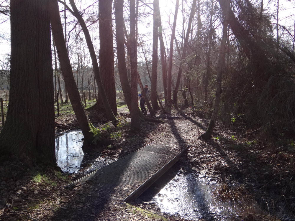
After a stretch of paved path along the canal from Bocholt to Herentals, you dive into the forests of the Study Center for Nuclear Energy, walking a bit over marshy terrain.
More photos: https://photos.app.goo.gl/pkfEikSW64ie4yui9
Happy hiking,
Eddy, Rita, and Prinske
automatic translation
 nodes to follow
0 km
0.5 km
0.9 km
1.3 km
1.7 km
2.2 km
2.5 km
3.2 km
4.3 km
4.9 km
5.1 km
5.7 km
6 km
6.4 km
6.9 km
7.2 km
7.4 km
8.3 km
8.3 km
8.4 km
8.9 km
Sunday, August 30, 2026 by N.C.Oooh, we really enjoyed this—what a wonderful hike! Thank you so much! Hiking greetings, Walter and Nicky and 🐕 Twinckle
automatic translation
Thursday, September 3, 2026 by Eddy & RitaThat's great! Thank you for your comment. Enjoy your walks!
automatic translation
Thursday, July 30, 2026 by L.K.What a wonderful route. The forest trails were easy to walk on. We also admired the Congo River 😀. We started the route at control point 54, having parked on Castelsebaan, the first street (dirt road) past Europawijk.
automatic translation
Thursday, August 6, 2026 by Eddy & Rita👍 Thanks for your comment. Enjoy your walks!
automatic translation
Wednesday, April 1, 2026 by Ingrid GeerinckxCan you list the nodes?
automatic translation
Wednesday, April 1, 2026 by Eddy & RitaThank you for your comment. The trail markers are listed in the description and shown on the map. Enjoy your hike!
automatic translation
Wednesday, February 18, 2026 by Arthur MonsieursClose to home. We'll definitely do that sometime.
automatic translation
Wednesday, February 18, 2026 by Eddy & RitaYou should definitely do it, Tuur. It's a surprisingly beautiful walk! Greetings to everyone at home.
automatic translation



 Upgrade to Premium Plus


