
 Hiking
 Login
Login
 More
More
 EN
EN
 Premium
Along the Demer and ridge through Aarschot (train?)
automatic translation
8.7 km • Aarschot
2.4702 0 0/5

 Addresse starting point (approximate)
Statieplein 18, 3200 Aarschot, BE
 signage
The route is not signposted. Use a GPS device or our app to follow the route.
 Description
Come by train or park for free at the Demervallei parking.
This walk goes through city streets, alleys, parks, and nature on the Hageland ridge. Walking shoes are needed!
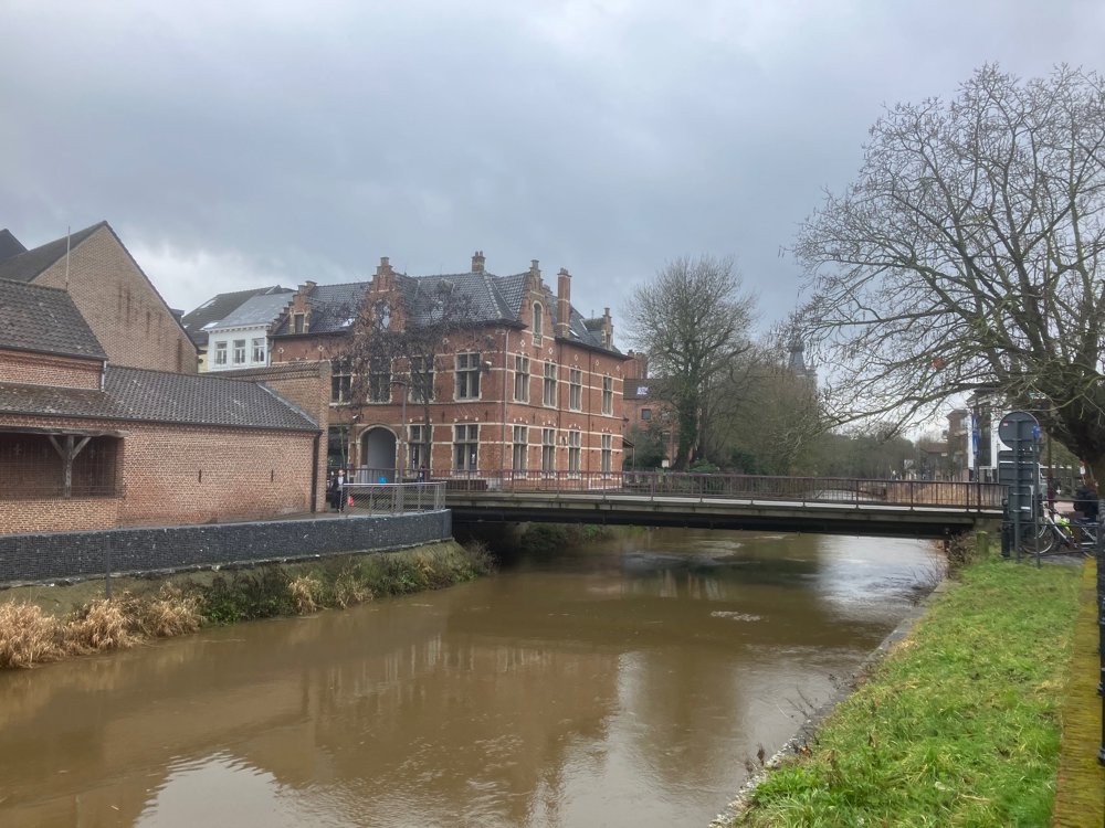
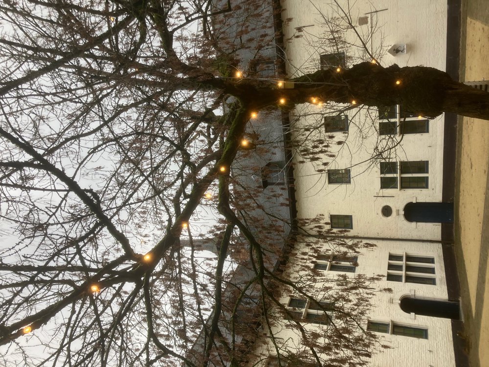
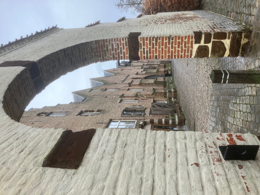
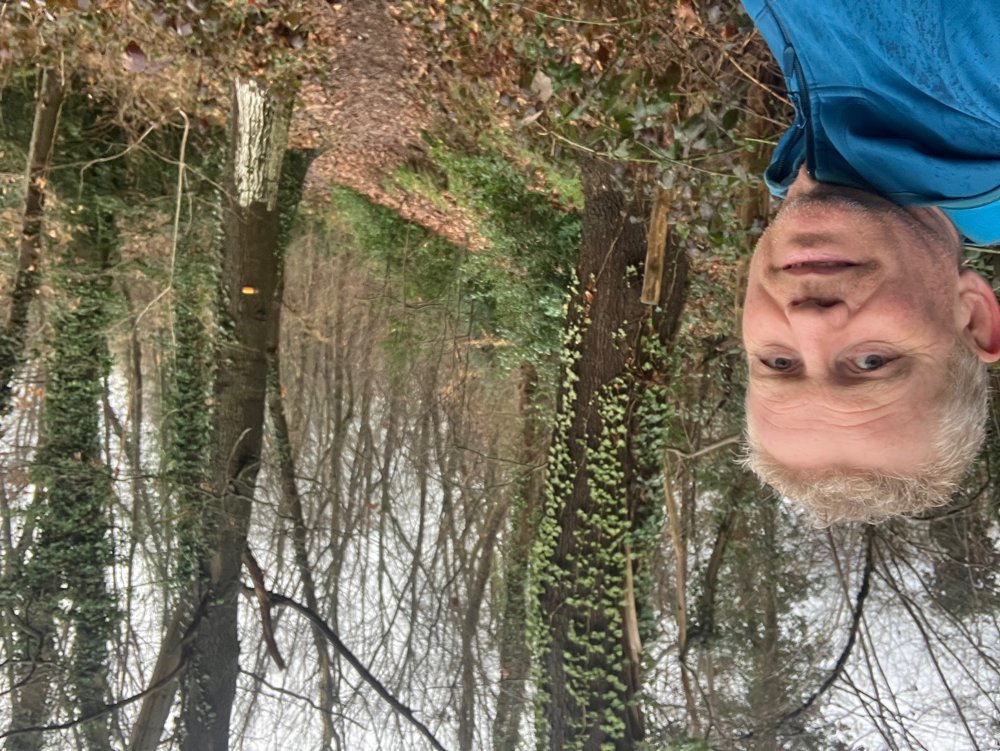
You pass classics such as the Grote Markt with the Sint-Rochus tower, the O.L.V. church, the 's Hertogenmolens, the Begijnhof, quays along the Demer, youth café De Flater, ... View different sculptures along the way. Perhaps you'll discover for the first time the cozy courtyard of cc Het Gasthuis with the city brewery that brews the Aarschotse Bruine, or the Kouterberg with the Orleanstower and allotment gardens, or the wooded slope with a view over the Demervallei parking...
Legend: "Aarschot" refers to an "Eagle" that was killed and "Schot" to a raised place. The inhabitants got their nickname Kasseistampers because the civil guard in the 18th century often sat in cafes instead of patrolling and then stomped loudly with their clogs on the stones to hide their drinking behavior.
Catering spread in the city center.
Dogs on a leash welcome.
automatic translation
 nodes to follow
0 km
0.7 km

1.1 km
2.1 km
2.5 km
3 km
3.3 km
3.8 km
4 km
4.1 km
4.2 km
4.4 km
4.7 km
4.7 km
4.8 km
5 km
5.1 km
5.3 km
5.4 km
5.5 km
5.7 km
5.8 km
6 km
6.3 km
6.5 km
6.8 km
7 km
7.2 km
7.5 km
7.8 km
8 km
8.4 km
8.7 km



 Upgrade to Premium Plus


