Loading...

Zuun Valley (Sint-Pieters-Leeuw)

automatic translation

7.6 km • Sint-Pieters-Leeuw

5.3403 1 4.5/5

7.6 km 0.0 km 0.0 km

route offered by

Peter XX

Icon starting point Addresse starting point (approximate)

Galgstraat 80, 1600 Sint-Pieters-Leeuw, BE

Icon type signage of route signage

The route is not signposted. Use a GPS device or our app to follow the route.

5m 5m 5m 5m
Atmosphere image 1 of route Zuun Valley (Sint-Pieters-Leeuw) Atmosphere image 2 of route Zuun Valley (Sint-Pieters-Leeuw) Atmosphere image 3 of route Zuun Valley (Sint-Pieters-Leeuw)
© Peter D'hont

Icon description route Description

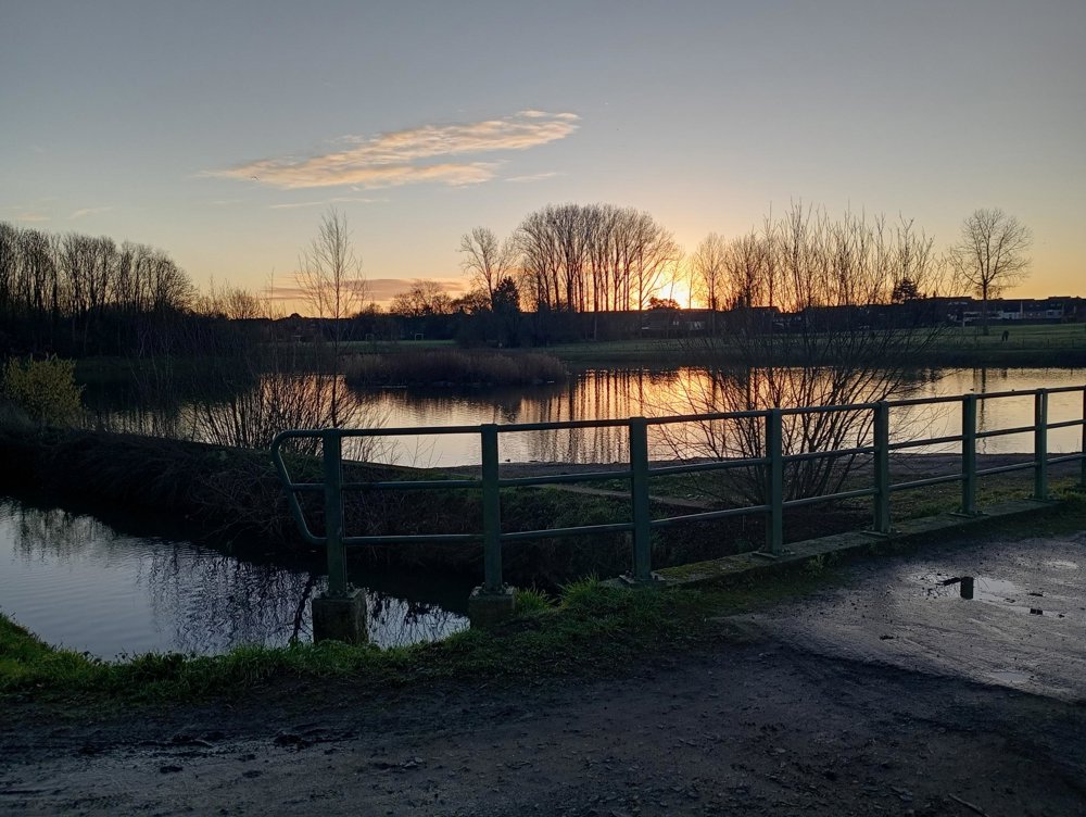
Departure: cemetery parking lot - Galgstraat 81 - Sint-Pieters-Leeuw

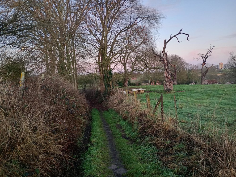
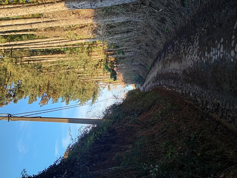
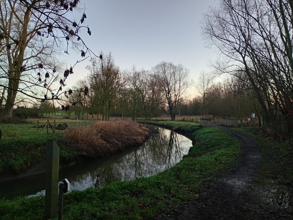
Short but varied walk through the Zuunvallei.

From the starting point, we walk to the Zuunbeek and a bit further to the Large Zuun Pond. A very marshy, watery and thus also muddy area. Then, through the rolling fields bordered with pollard willows, towards Rattendaal Castle and back to the starting point.

automatic translation

This route has 1 review(s).
Rate route!

Sunday, February 8, 2026 by philippe Lemairevery nice walk
automatic translation

Which POI do you want to show on the map?

Experimental hiking network
Unsigned icon

The route you have chosen runs (partly) along an experimental virtual hiking node network (the blue-coloured nodes and sections on the map).

You must be logged in to plan routes here.

Experimental hiking network
Unsigned icon

The route you have chosen runs (partly) along an experimental virtual hiking node network (the blue-coloured nodes and sections on the map).

These routes are not controlled in the field. Before you start hiking here, take a minute to read what an experimental hiking node network is and what rules you should follow when hiking here.