 Hiking
 Login
Login
 More
More
 EN
EN
 Premium
(un)known pleasure in Lier: city + nature (train?)
automatic translation
9.4 km • Lier
6.4027 0 0/5

 Addresse starting point (approximate)
Waversesteenweg 6, 2500 Lier, BE
 signage
The route is fully signposted with nodes.
 Description
Park for free at the cultural center or take the train and start your trip at pt 36.
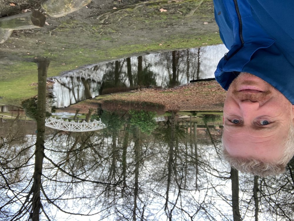
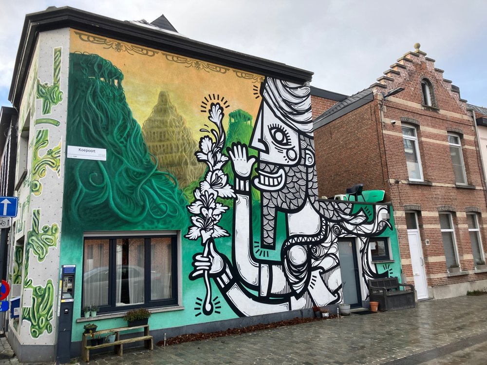
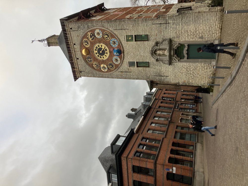
This route takes you along very well-known places in Lier: the Zimmerplein with tower and museum, the beguinage, the market with belfry and town hall, the ramparts, the Saint Gummarus Church, ... It leads you along quiet paths, known streets or lesser-known lanes through the center. Discover cozy corners and squares and the typical city graffiti. Be sure to extend your walk in the magnificent beguinage!
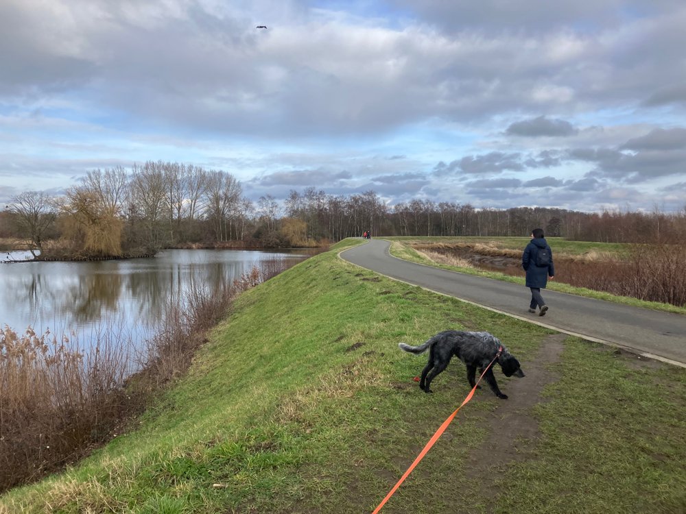
At the same time, it also leads you via dikes and paved paths along the Grote Nete, the Kleine Nete, the Nete, the Binnennete, and the Netekanaal. Does it need to be said that Lier breathes water, as it were? In a blink of an eye, you're outside the city center in nature. An interesting extension through 'Nazareth South' is from pt 60 to pt 62, then pt 63 and then pt 61. This is very beautiful but not feasible in extremely wet weather (underlying boardwalk!).
Dogs on a leash welcome everywhere. Dining options available throughout the entire route.
automatic translation
 nodes to follow
0 km
0 km
0.3 km
0.7 km
1 km
1.2 km
1.7 km
1.9 km
2 km
2.7 km
3.1 km
3.4 km
3.8 km
4 km
4.1 km
5 km
5 km
5.6 km
6.5 km
6.8 km
7.5 km
7.7 km
8 km
8.6 km
9.4 km
9.4 km


 Upgrade to Premium Plus
