 Hiking
 Login
Login
 More
More
 EN
EN
 Premium
Nature and the good cause in Gerhagen and Averbode
automatic translation
16.9 km • Tessenderlo-Ham
3.0232 0 0/5

 Addresse starting point (approximate)
Turnhoutsebaan 21, 3980 Tessenderlo, BE
 signage
The route is fully signposted with nodes.
 Description
Park for free in the parking lot along Turnhoutsebaan (decide halfway: stop or continue?).
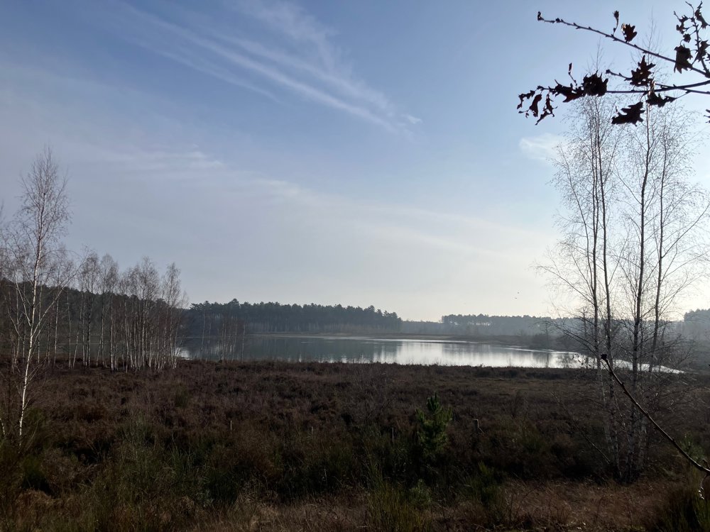
You start through Averbode forest and heath, where you will get beautiful views of the small and large ponds, alternating with heathland and various types of forest.
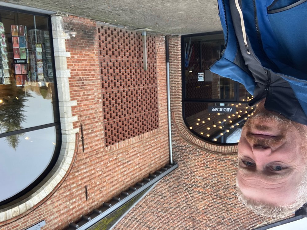
Stop between points 96 and 100 at Het Moment at the abbey of Averbode, which has been known for its food and drink production since its foundation in 1134. Enjoy local specialties on the spot (or take them from the shop) and support a good cause. The operation is carried out with the help of people who use this stepping stone to get back into the regular work circuit.
After the "ice cream path" (ice cream in summer since 1928) and another view of the forest and heath area, explore the Gerhagen nature reserve and Pinnekensweier reserve with its special fauna and flora.
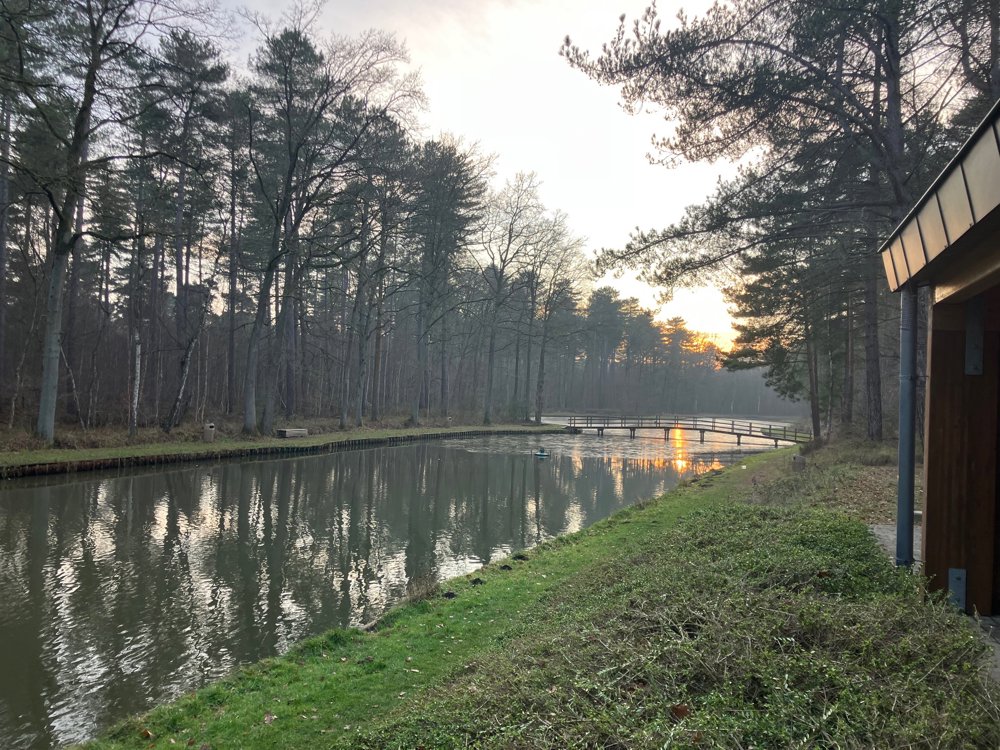
On the way, Ter Scoete café-restaurant and Gerhagenvijver fishing club offer a simple drink with an idyllic view of the pond.
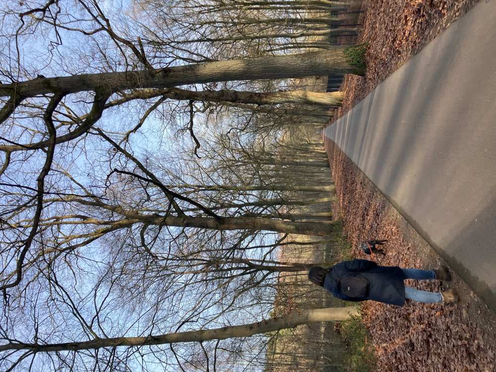
Walking shoes.
Dogs on a leash.
automatic translation
 nodes to follow
0 km
0.6 km
1.1 km
1.3 km
1.8 km
2.6 km
2.7 km
2.8 km
2.9 km
3.3 km
4.1 km
4.1 km
4.7 km
5.3 km
5.4 km
5.4 km
5.4 km
5.8 km
6.2 km
6.7 km
6.9 km
7.9 km
8.6 km
8.8 km
8.9 km
10.4 km
11.1 km
11.2 km
12.2 km
12.3 km
12.6 km
12.7 km
13.6 km
14.2 km
14.4 km
16.3 km
16.9 km


 Upgrade to Premium Plus
