 Hiking
 Login
Login
 More
More
 EN
EN
 Premium
The Apollonia Path: Exploring Around Peulis
automatic translation
9.7 km • Putte
2.1944 1 2/5

 Addresse starting point (approximate)
Peulisstraat 39, 2861 Putte, BE
 signage
The route is fully signposted with thematic signs (no nodes).
 Description
Park at the church of Peulis
The Apollonia Path is one of the 33 walking loops of the Pallieterland Walking Area (www.rlrl.be), which can even be done with a stroller with big wheels in dry weather. Hiking boots are recommended, dogs on a leash are welcome.
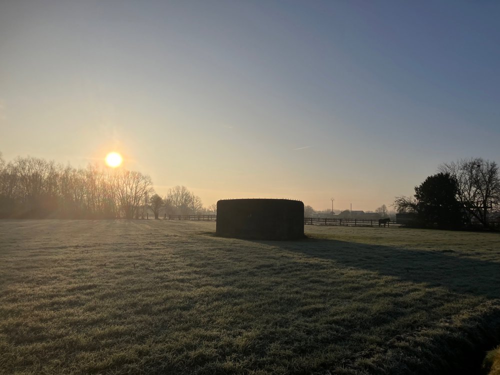
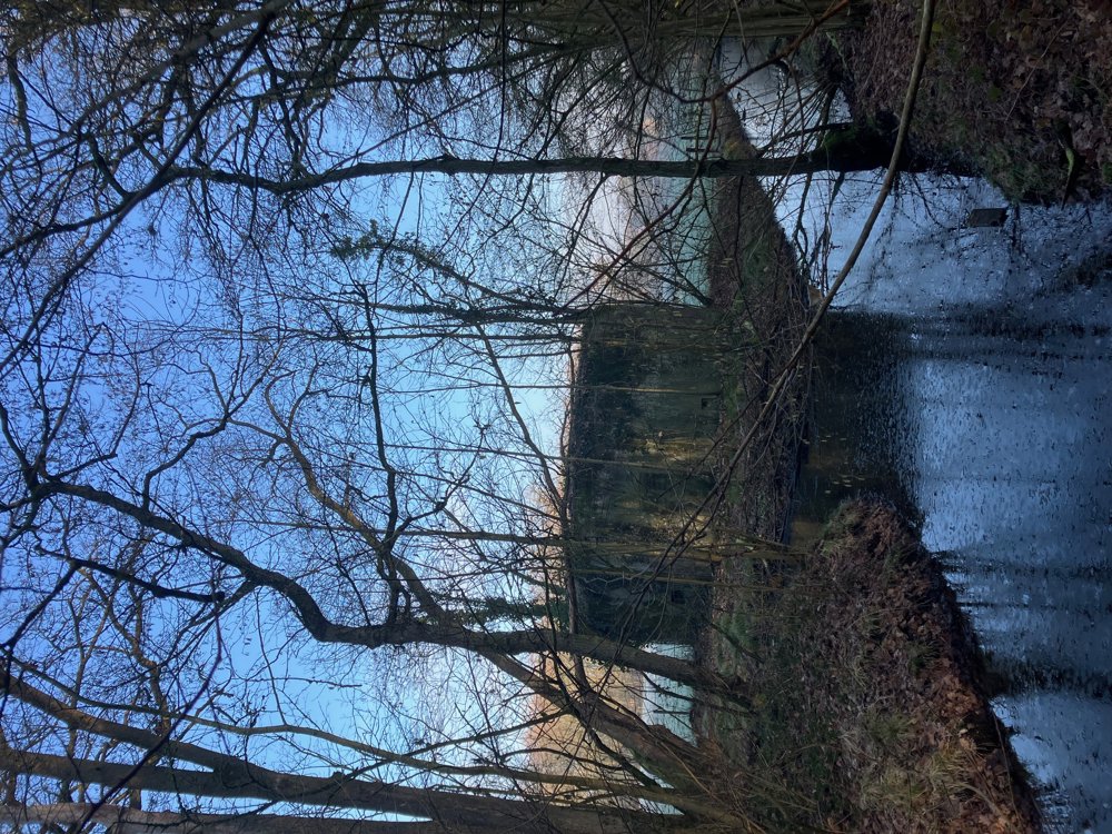
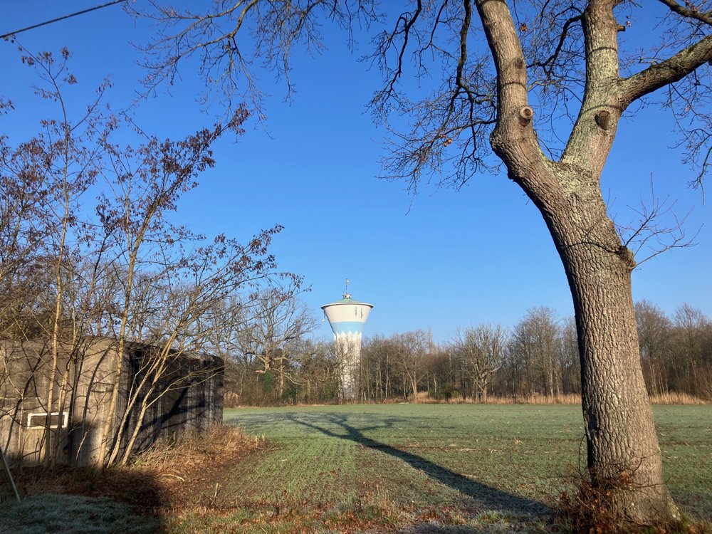
You start along the busiest road, pass a Lourdes grotto, and then reach the smaller roads with several bunkers of the Putse Anti-tank Center, the large Krankhoeve, a water tower, and of course the Apollonia Chapel. It was built around 1900 and was visited to "sell toothache" with a prayer and offering.
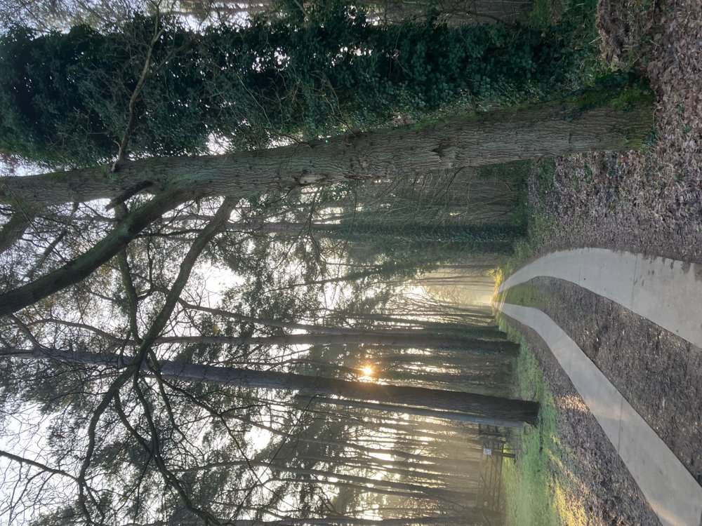
Don't expect vast natural areas, but let yourself be surprised by the delightful green corners of the Peulis Woods, the natural edges of the Berentrode Estate, and the peacefully located residential villas.
Tip: depart at sunrise, enjoy the playful sunlight through the trees, and perhaps, like me, encounter a group of deer. Look for a green rabbit along the way!
Café Paradijs at the start/end.
automatic translation
 nodes to follow
0 km

0.6 km
1.4 km
2.5 km
2.7 km
2.8 km
3.1 km
3.2 km
3.6 km
3.8 km
5.1 km
5.4 km
6.4 km
7.9 km
8.4 km
8.9 km
9.1 km

9.7 km


 Upgrade to Premium Plus
