 Hiking
 Login
Login
 More
More
 EN
EN
 Premium
Retie: Princes' Path
automatic translation
6.8 km • Retie
2.9572 0 0/5

 Addresse starting point (approximate)
Kastelsedijk 5, 2470 Retie, BE
 signage
The route is partially signposted with nodes, partially with thematic signs.
 Description
We did this walk on 01/24/2026 (8923 steps).
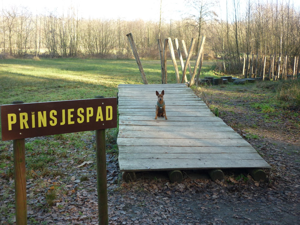
Although there are many markings, we did not use them. The Prinsenpark is a beautiful nature park where we go for walks almost daily. You can easily walk a few kilometers without leaving the park. Even our little dog Prins feels completely at home there. There is even a play path named after him. No, just kidding. The resemblance to his name is quite funny.
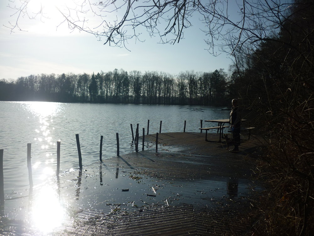
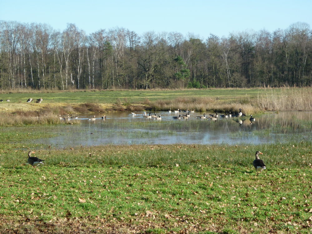
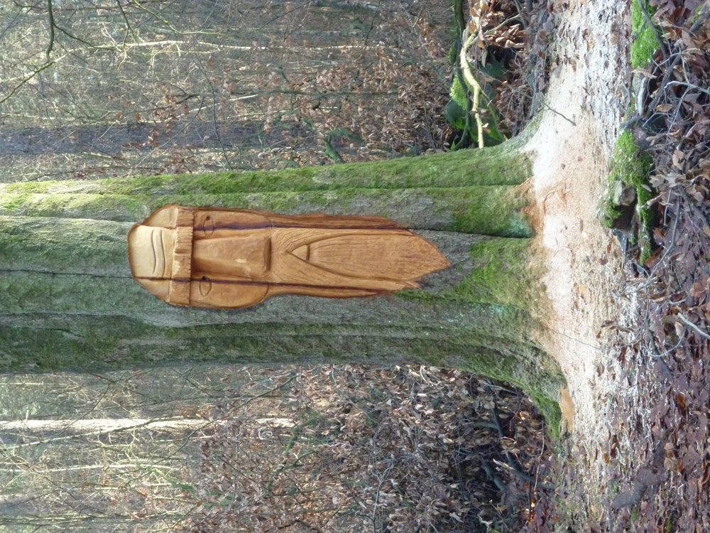
At the start, there is a spacious free parking lot available. All around the park, you can find benches to take a break and enjoy the peace. In the park, you will find different ponds, shelters, play zones, bird-watching huts, a bird feeding area, the princes' path - a child-sized obstacle course and much more.
You can easily spend a lovely afternoon in nature there.
More photos: https://photos.app.goo.gl/BwQFpUv4SRtCeMty8
Happy walking,
Eddy, Rita, and Prinske.
automatic translation
 nodes to follow
0 km
0.1 km
1 km
1.6 km
2.4 km
2.4 km

2.9 km
3.3 km
3.6 km
4 km
4.6 km
4.9 km
5.3 km
5.5 km
5.7 km
6.1 km
6.6 km

6.8 km


 Upgrade to Premium Plus
