 Hiking
 Login
Login
 More
More
 EN
EN
 Premium
Along history and bits of nature around Putte
automatic translation
10.3 km • Putte
2.4934 0 0/5

 Addresse starting point (approximate)
Poortmanshof 2, 2580 Putte, BE
 signage
The route is not signposted. Use a GPS device or our app to follow the route.

 Description
Park at the Poortmanshof or church.
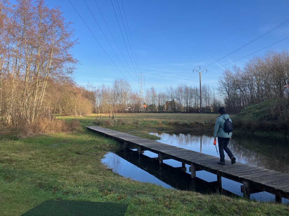
You start with mostly quiet paths and unpaved sections. At the end, you are forced to use a bit more asphalt due to the accessibility of Putte's center, where the hospitality industry offers relief.
Soon, you reach the cozy and friendly Het Molenijzer Local Museum, where you discover numerous aspects of daily life, particularly the very first Lingerie and Underwear Museum in Flanders (5000 pieces).
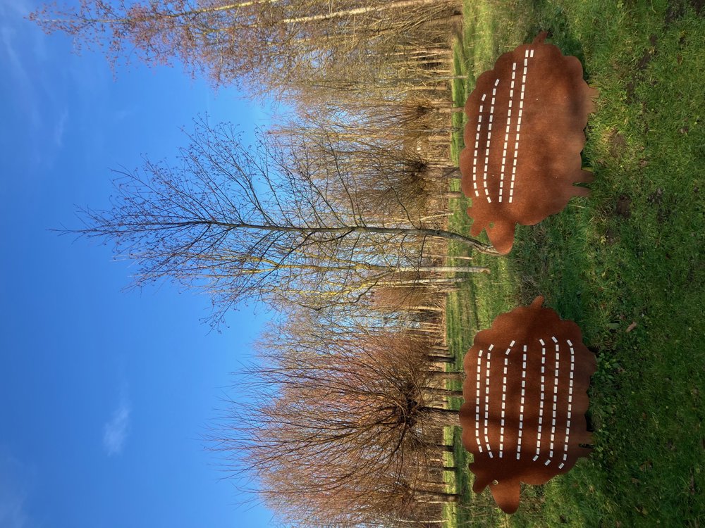
Near the sports and leisure site, which includes, among others, the korfball club, we search in the greenery for the metal artwork that honors local identity: Putte residents are called "Schapenkoppen" due to the sheep breeding in the region and the stubbornness of the residents themselves.
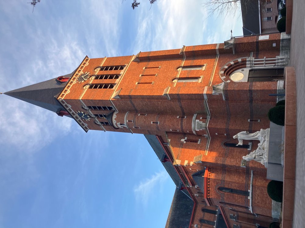
Halfway through, at 't Kafee, which is dog-friendly, you can have a snack/drink before heading towards the center with the Sint-Niklaaskerk and the old town hall, erected in 1748 as a hunting lodge by the knights of Pitsemburg in Rococo style.
Walking shoes needed. Dogs on a leash.
automatic translation


 Upgrade to Premium Plus
