 Hiking
 Login
Login
 More
More
 EN
EN
 Premium
Asselkouter hiking trail
12.5 km • Merelbeke
 official route
8.9847 7 3.9/5
 Addresse starting point (approximate)
Munteplein, 9820 Munte
 signage
The route is fully signposted with thematic signs (no nodes).
 Description
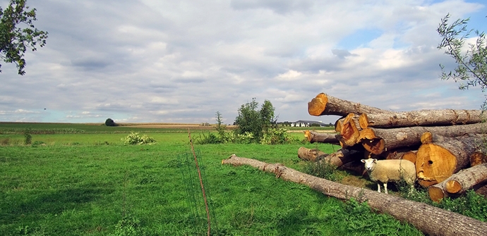
Natural beauty, peace and quiet in Munte and Baaigem through a gently rolling landscape with a short, steeper slope here and there. A natural spring springs up on one of those slopes along the trail. Quench your thirst along the way at one of the centuries-old inns.
The Asselkouter hiking trail is offered to you by Routen an initiative of Tourism East Flanders.
Tuesday, January 13, 2026 by J.D.Beautiful and peaceful route. Excellent for walking during wet periods due to its paved surface. Not recommended during hot summer days due to lack of shade. The area played an important role during the war, with many bunkers in the fields.
automatic translation
Monday, May 12, 2025 by Yves DeGheselleOn a sunny Mother's Day, what more could a person ask for.With the spoken instructions from the App, no problems at all.The roads were not too difficult, just have to be a bit careful on the unpaved roads, that you remain stable.Thanks in advance for the development of the App.You have another fan.
automatic translation
Saturday, September 14, 2024 by E.T.Beautiful route, but unfortunately a lot of signs are missing. After a rain shower, appropriate footwear is recommended. There is a fair amount of paved road, but they are generally very quiet roads. The app brought solace to keep following our route - thanks to previous hikers who already indicated in hu comments to pay attention!
automatic translation
Monday, January 10, 2022 by Ann Van den borreBeautiful walk, many varied views, many benches along the way. The village of Munte is charming and there is a brasserie where you can eat or drink something. The paths are often paved, in normal circumstances I prefer more unpaved paths. Now the unpaved sections were soggy though due to recent rain, so it was a windfall.
automatic translation
Friday, September 24, 2021 by A.V.Very nice route, but was lost right away. Didn't see arrow all the Zinc. Got to the route eventually. And indeed at Raapakkerlos a misleading sign. After my hike (of 16.7 km) I went to the tourist office and made my remarks. The church of Munte is also worth a visit.
automatic translation
Monday, April 19, 2021 by B.N.very nice walk! rolling landscapes, beautiful views and very passable, occasional little climb, between meadows and fields. PLEASE NOTE: When you come out of the turnip road you come to the baaigem street and the arrow shows to the left. But.... CAUTION, TAKE DIRECT RIGHT the earth road gel, there is the following arrow. nt gd visible.
automatic translation
Sunday, February 28, 2021 by Peter MayNice varied hike through a rolling, strongly rolling, landscape. Some sections unpaved that lie soggy after rain showers.
automatic translation


 Upgrade to Premium Plus
