 Hiking
 Login
Login
 More
More
 EN
EN
 Premium
Meetshovenbos and the Molenberg
automatic translation
10.5 km • Aarschot
2.8412 0 0/5

 Addresse starting point (approximate)
Ter Heidelaan 97A, 3200 Aarschot, BE
 signage
The route is partially signposted with nodes. Use a GPS device or our app to follow the route through virtual nodes.
 Description
Park at 't Wit Toreke in Aarschot (pt 750), alternative Betekom sports hall/centre (pt 804).
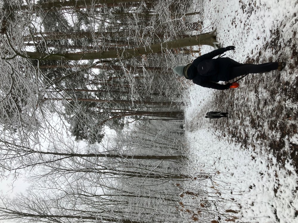
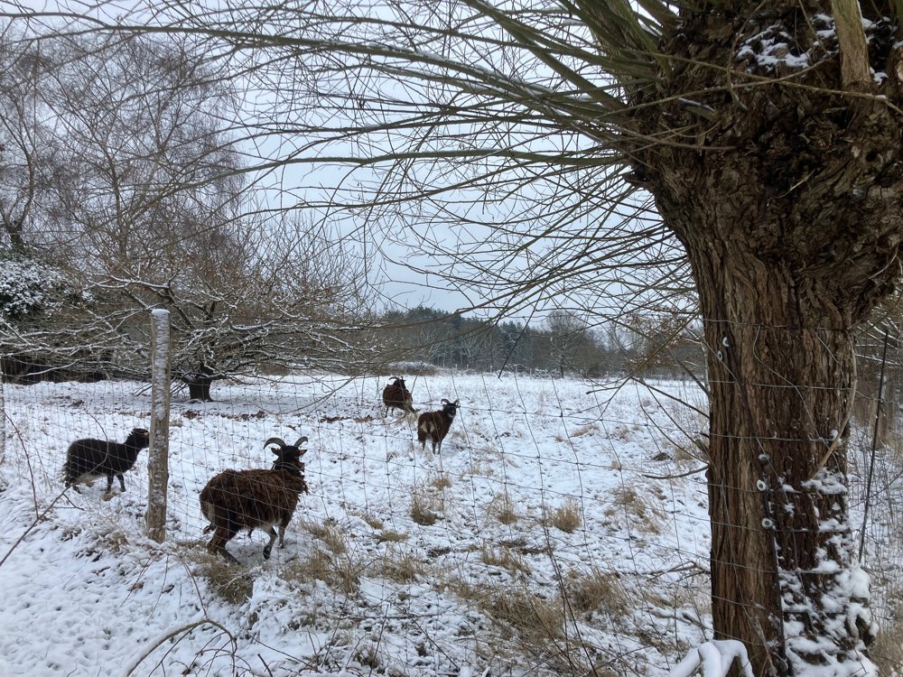
The walk goes through forest, field paths, quiet lanes, and residential areas.
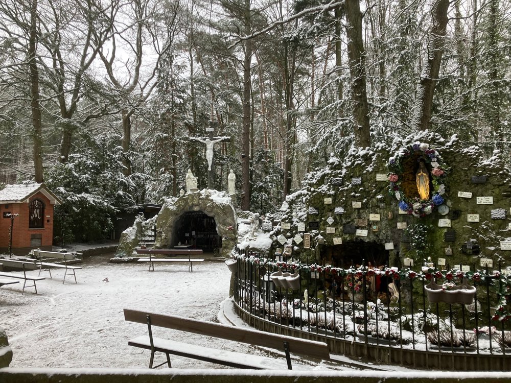
You start in Meetshoven, an abbreviation of Meynaertshoven: a lordship named after a family branch descended from the old counts of Aarschot. 't Wit Toreke is a remnant of this knight estate. Today, the area covers 78 hectares with here and there a small wetland, but the largest part was forested with conifers at the end of the 19th century. Here you will find, among others, the rare brown copper butterfly and the crested newt.
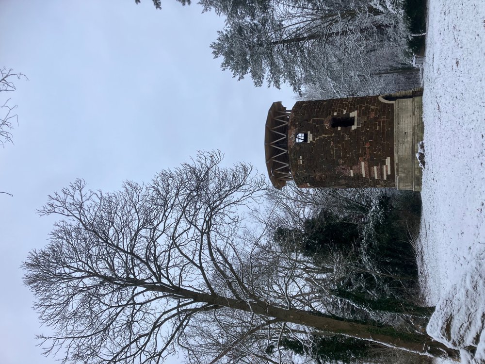
On the 40 m high witness hill Molenberg in Betekom stands the remains of the 15th-century windmill that historically survived multiple arson attacks. Around it lies a pleasant green oasis, on top awaits a fine view over the Demer valley.
Dogs welcome, large playground at pt 750.
Catering see starting points: note no dogs allowed in 't Wit Toreke.
(High) walking boots recommended.
automatic translation
 nodes to follow
0 km
1.4 km
2 km
2.2 km
4.6 km
6.2 km
8.1 km
10.4 km
10.5 km


 Upgrade to Premium Plus
