 Hiking
 Login
Login
 More
More
 EN
EN
 Premium
Fortress City Tholen: rich in culture and water
automatic translation
2.8 km • Tholen
2.9453 0 0/5

 Addresse starting point (approximate)
Kruittorenstraat 19, 4691 EN Tholen, NL
 signage
The route is fully signposted with nodes.
 Description
Park in the area around the Wal.
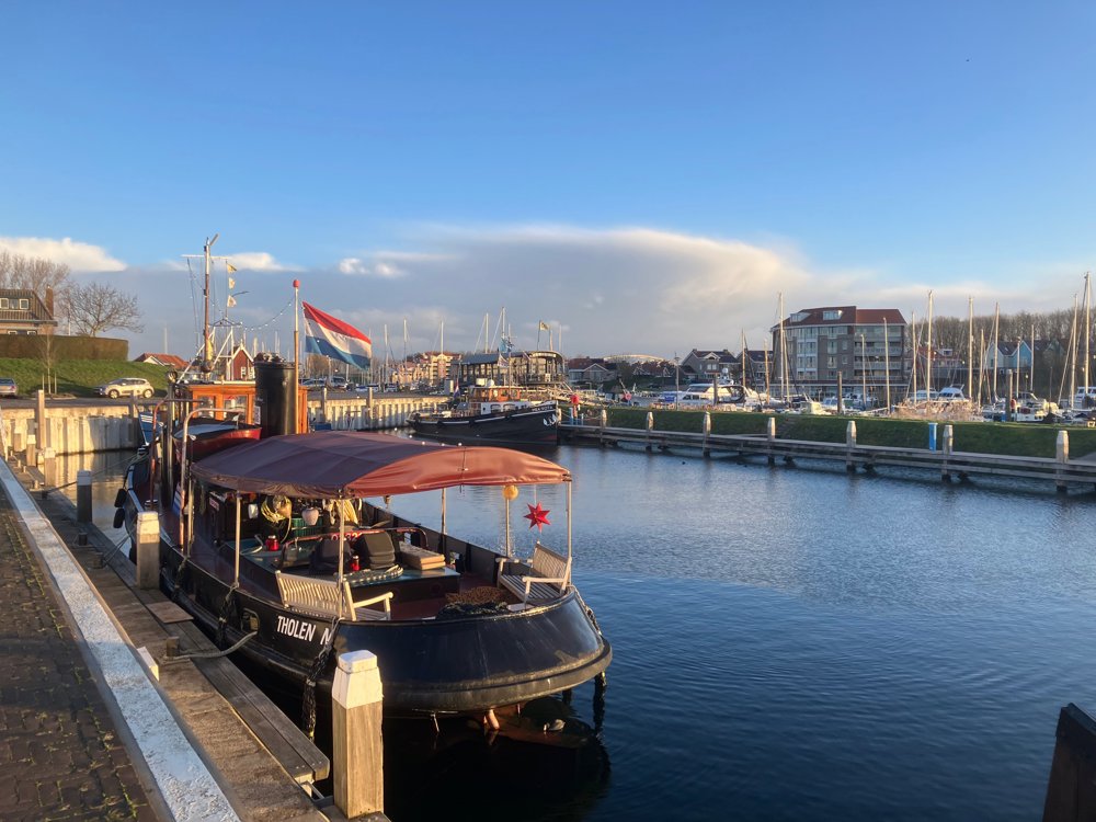
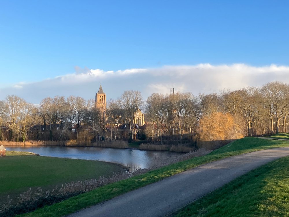
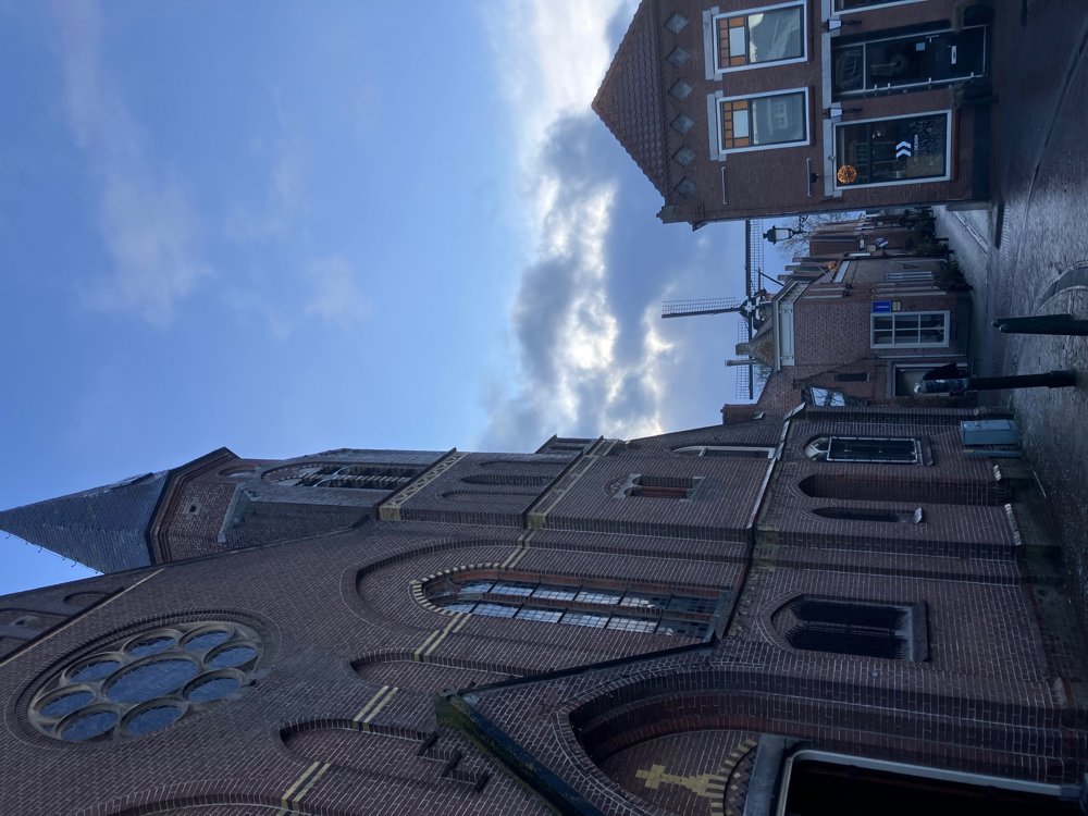
The fortified city of Tholen gradually emerged in the 13th century on the sea dike at the Eendracht, after the reclamation of the Vijftienhonderdgemetenpolder. The walking route leads you over a remaining section of the ramparts past several monuments and other attractions.
The saltworks: Salt extraction has been for centuries, alongside agriculture, the most important source of income.
Oyster pits: Since 1868, another source of income, but now disappeared.
Art piece "The Lost Gate".
The 2 drying houses: Buildings where roots of madder (a plant) were dried and processed to extract red dye.
Patrician house.
You have a beautiful view of and within the town, but also of the harbor and the adjoining Scheldt-Rhine Canal.
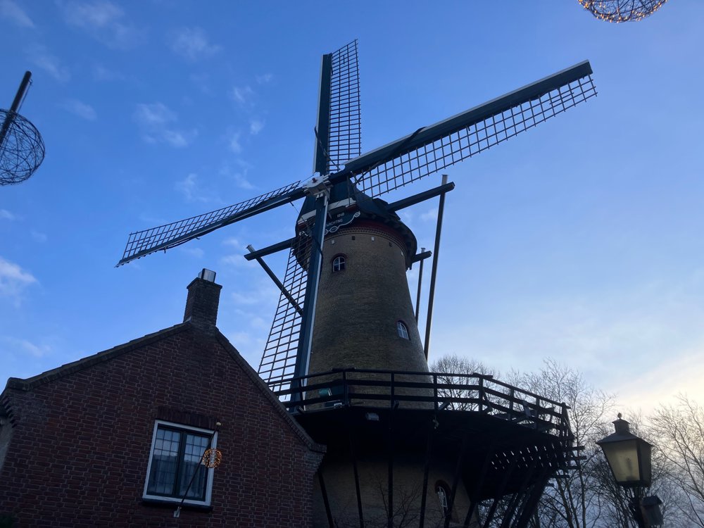
Feel free to leave the route to the left and right to explore, for example, the Venkelstraat with its windmill, multiple times voted the most beautifully decorated street (fun in both summer and winter!).
Numerous eateries.
Dogs on a leash.
Sometimes very windy.
automatic translation
 nodes to follow
0 km
0.4 km
0.8 km
1.3 km
1.8 km
1.8 km
2.3 km
2.7 km


 Upgrade to Premium Plus
