 Hiking
 Login
Login
 More
More
 EN
EN
 Premium
Polders, dikes, Oosterschelde and Tholen
automatic translation
24.2 km • Tholen
2.2691 0 0/5

 Addresse starting point (approximate)
Kruittorenstraat 19, 4691 EN Tholen, NL
 signage
The route is fully signposted with nodes.
 Description
Park near the Wal.
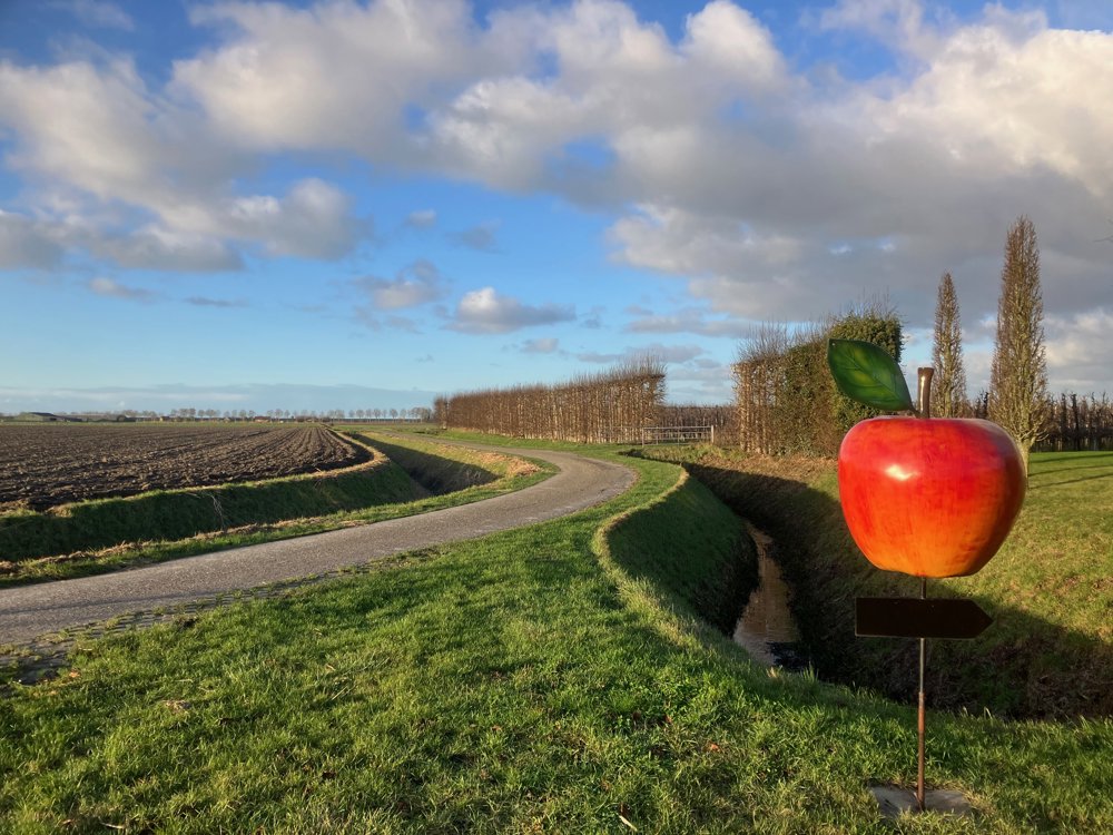
This walk explores the southern part of the Zeeland island of Tholen and is not permitted for dogs due to the meadows you pass. It requires some agility to cross the typical fences via wooden constructions.
Around 1200, the island of Tholen consisted of five smaller islands, and the charming fortified town of Tholen itself slowly emerged after the diking of the "Vijftienhonderdgemetenpolder". With its harbor, dining, and authentic streets, it exudes tremendous coziness.
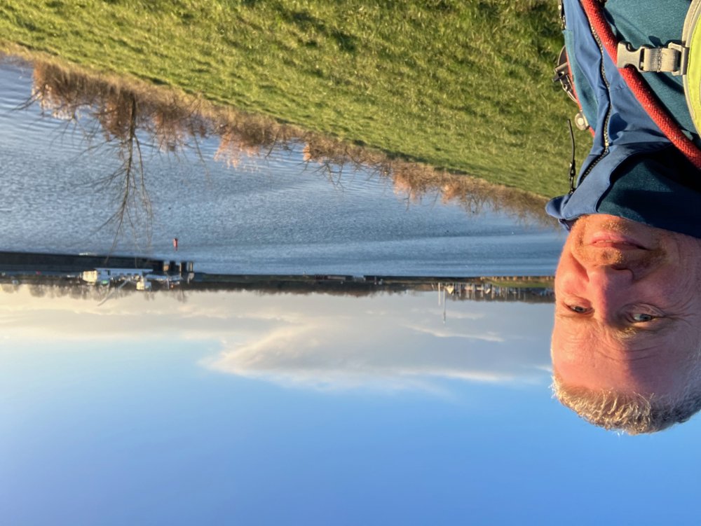
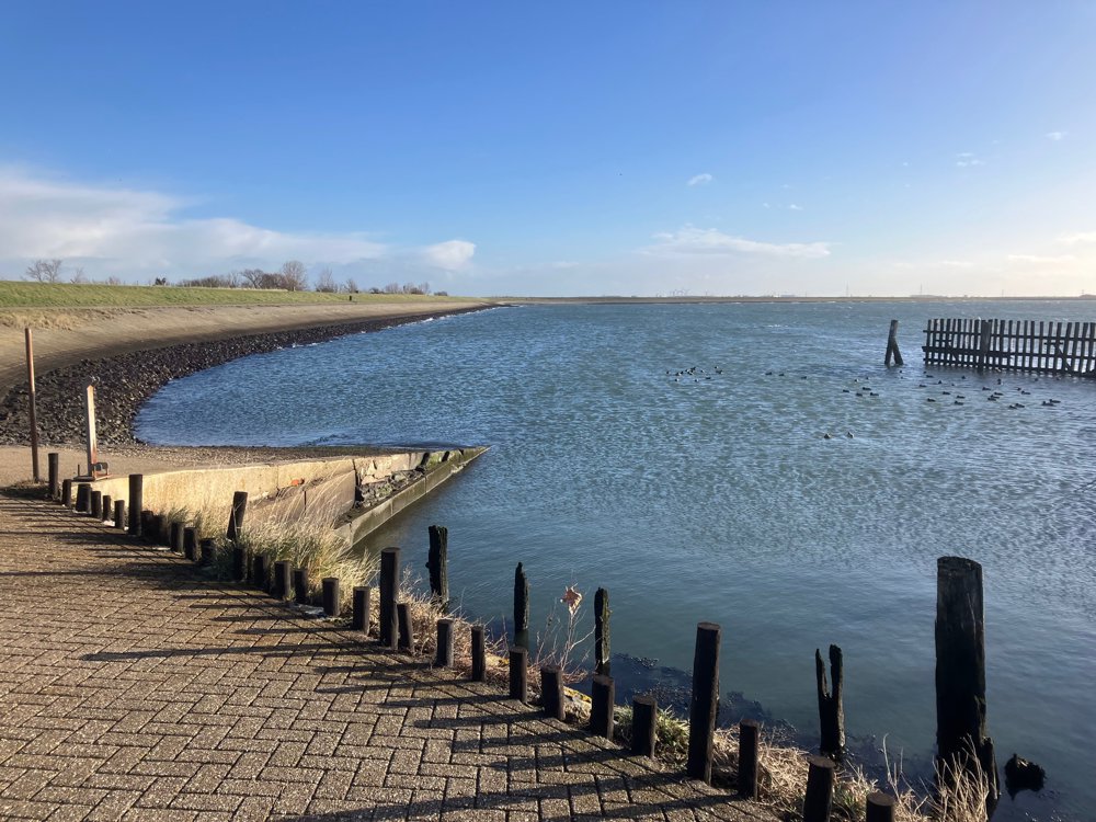
The dikes in the area offer you a stunning view of the Scheldt-Rhine Canal and the Eastern Scheldt on one side and the lower-lying polders on the other. Here, you pass a popular dive site "the Bergse Diepsluis" with its unique underwater fauna and flora (cuttlefish, squid, sea scorpions, lumpsuckers, ...).
The expansive polders can be very windy. Appropriate walking shoes and clothing.
Dining in Tholen (in Poortvliet not on the route!).
automatic translation
 nodes to follow
0 km
0.4 km
0.8 km
1.2 km
2.5 km
5.6 km
7.4 km
9.2 km
9.7 km
9.9 km
10 km
11.8 km
12.1 km
12.2 km
12.5 km
13.6 km
13.6 km
14.3 km
15.4 km
16.8 km
18.8 km
20.1 km
20.5 km
21.6 km
22.3 km
23.3 km
23.3 km
23.8 km
24.2 km


 Upgrade to Premium Plus
