 Hiking
 Login
Login
 More
More
 EN
EN
 Premium
Historical center from the South (by train?)
automatic translation
8.5 km • Ghent
2.5863 1 5/5

 Addresse starting point (approximate)
Woodrow Wilsonplein 1, 9000 Ghent, BE
 signage
The route is not signposted. Use a GPS device or our app to follow the route.
 Description
Park in parking South or come by public transport.
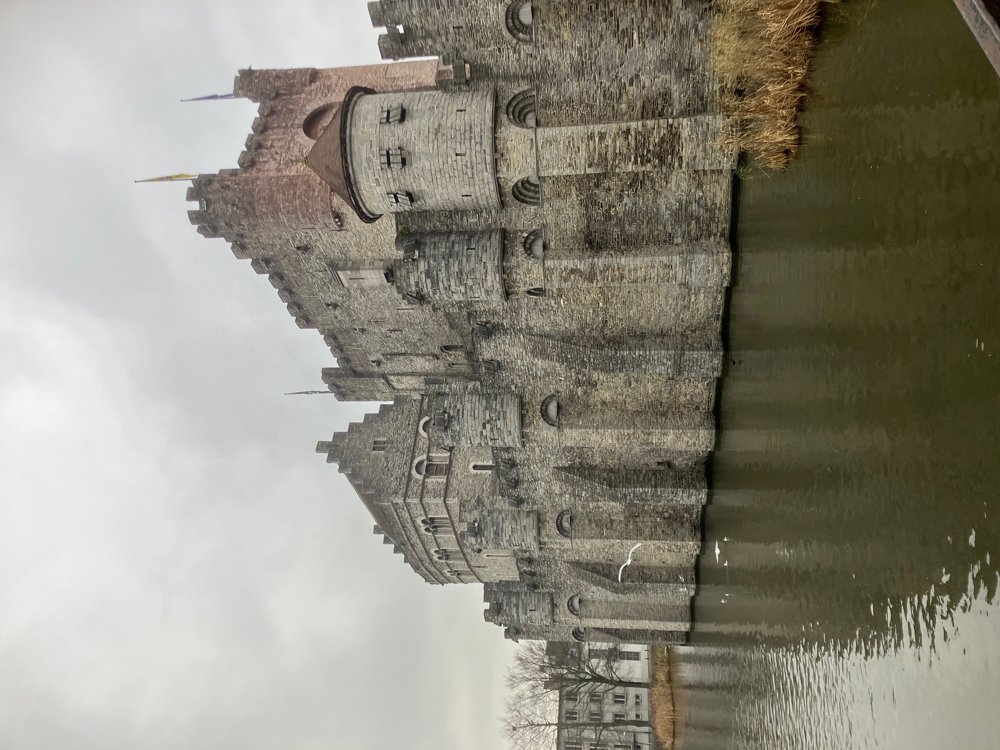
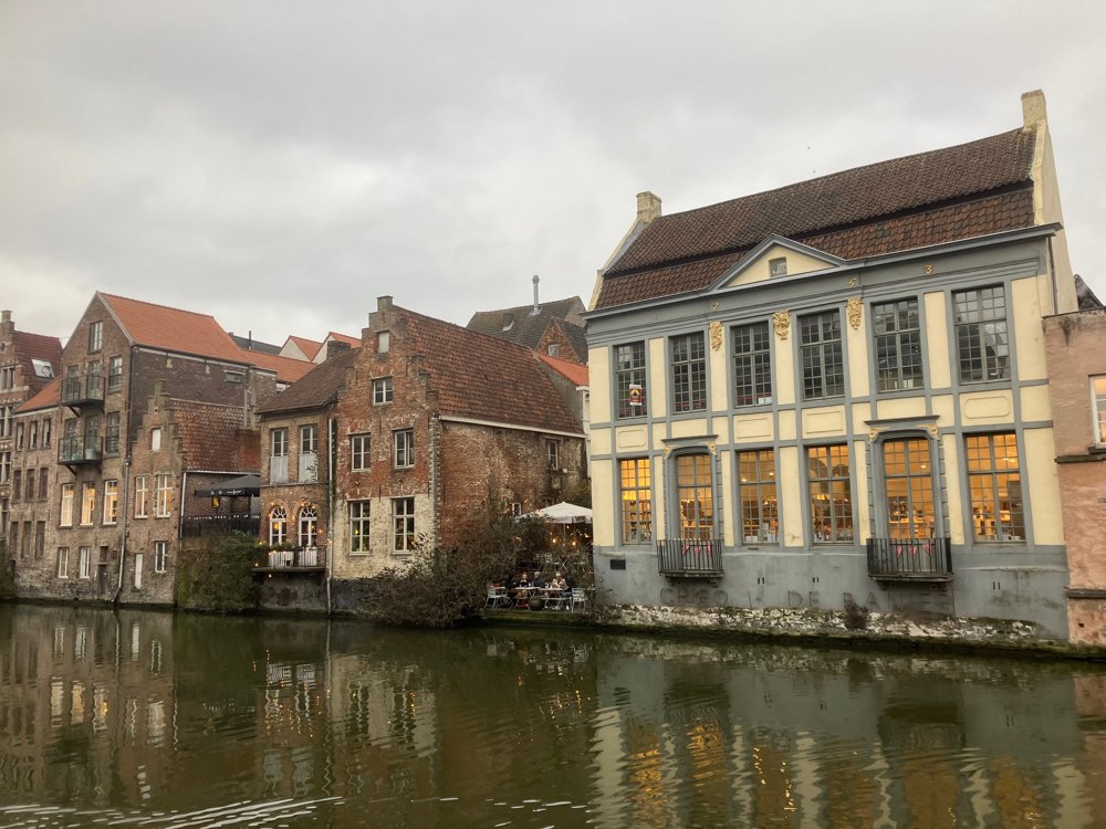
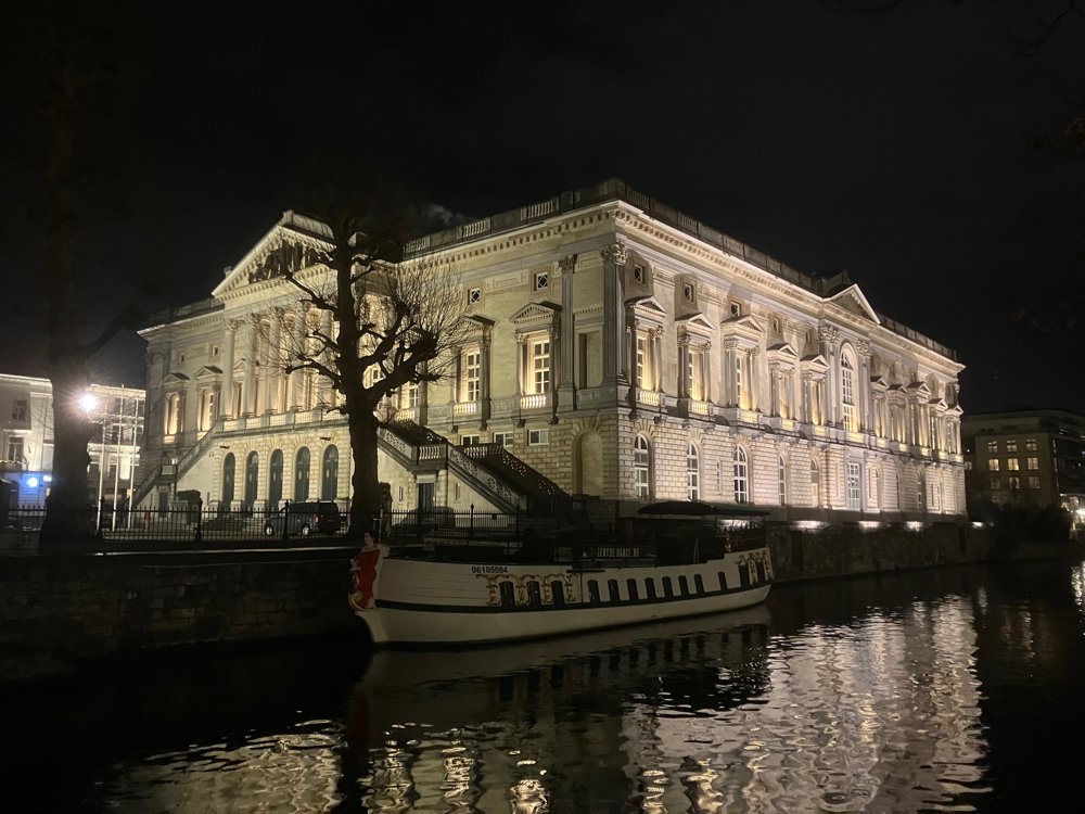
Along parks, canals, shopping streets, and small alleys, you will explore the historic center of Ghent. You pass by several classics: the city offices of Ghent-South with King Albert Park, the Muinkschelde, the Ketelvaart with Walpoort Bridge, the Flower Market (Sunday morning!), Saint Bavo's Cathedral, the Cloth Hall, Saint Nicholas' Church, the Korenmarkt, Saint Michael's Bridge, the Korenlei, the Gravensteen castle, the Dulle Griet (café + The Great Cannon), the Graffiti Street, Saint Michael’s Church, the Veldstraat, ... You'll be short of eyes to take it all in.
Take the time to wander around and enter at your leisure. Make sure to do part during the day and part in the evening lighting. Ghent's center boasts many different atmospheres (winter with Christmas, summer with terraces, harsh autumn weather, spring sunshine, ...) but it never disappoints.
Four-legged companions can come along, but it is less recommended.
automatic translation


 Upgrade to Premium Plus
