
 Hiking
 Login
Login
 More
More
 EN
EN
 Premium
Goor-Asbroek and Hof ter Borght: long version
automatic translation
16.8 km • Hulshout
3.5863 0 0/5

 Addresse starting point (approximate)
Probastraat 5, 2235 Westmeerbeek, BE
 signage
The route is fully signposted with nodes.
 Description
Park for free in the business/shopping center "La Corbeille" on the former site of the canning factory. (alt. pt 287)
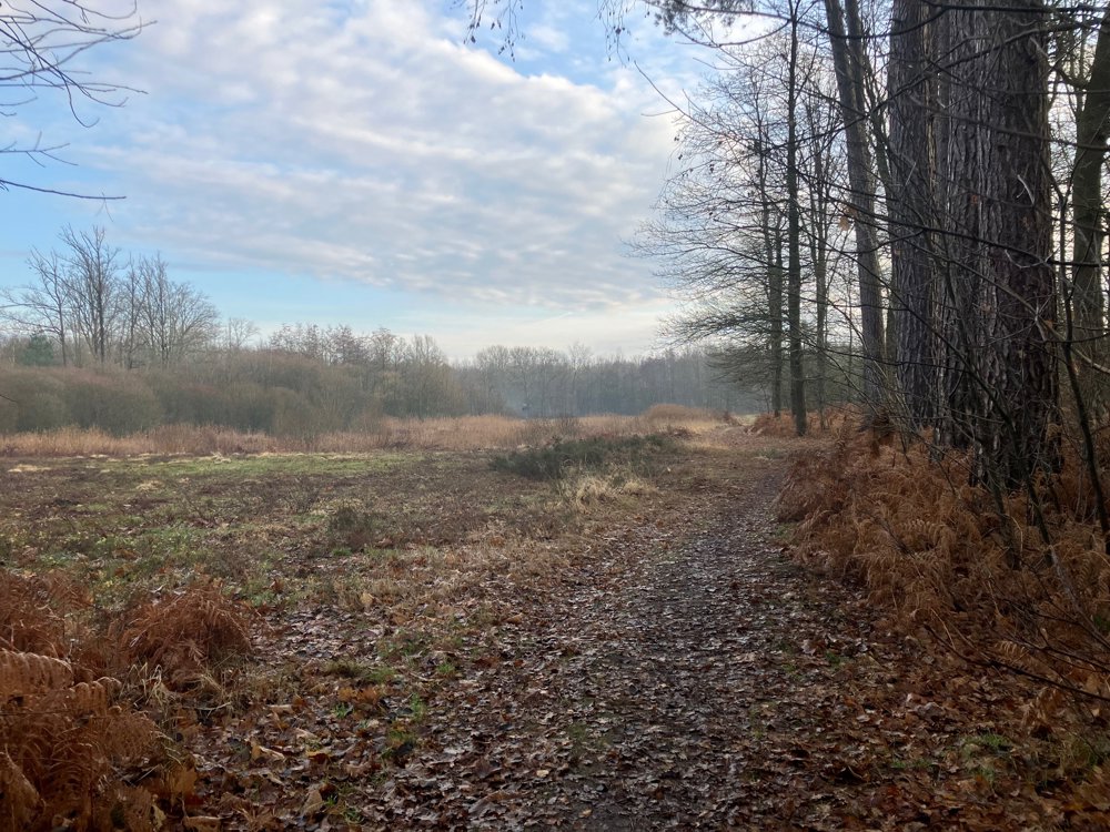
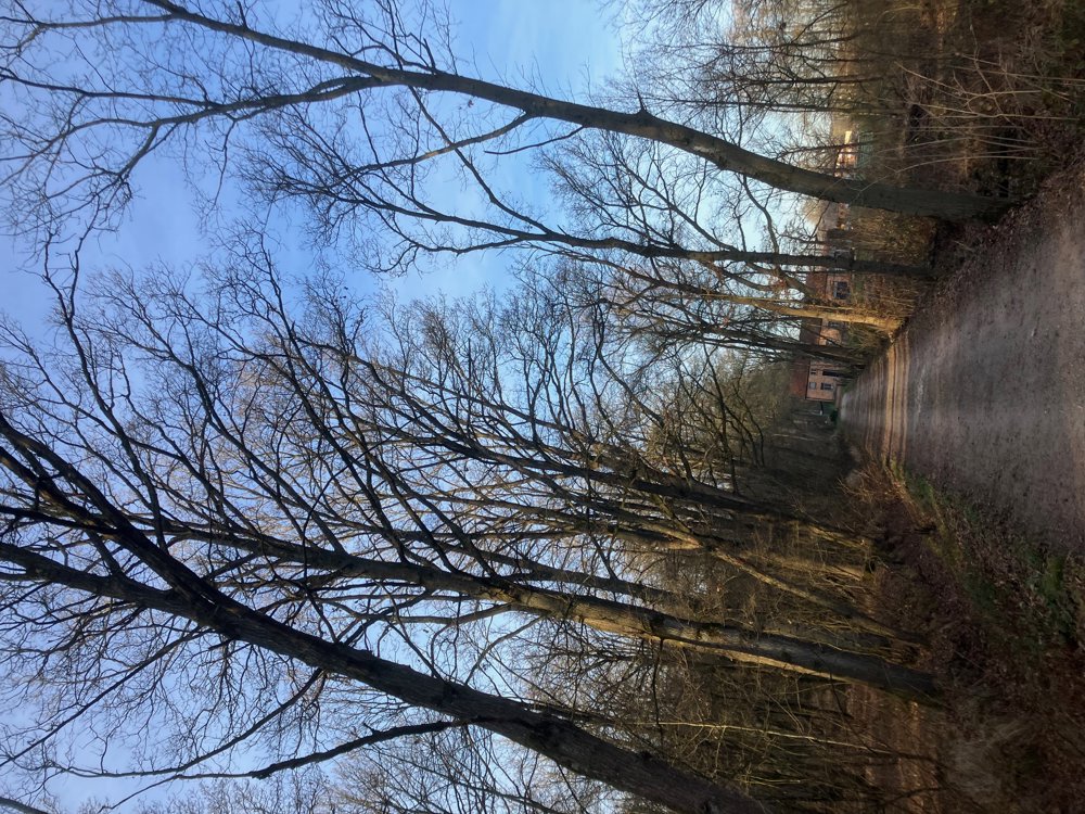
Through the center of Westmeerbeek, you pass their "Manneken Pis" and search for the Goor-Asbroek nature reserve. It harbors an exceptional wealth and variety as it is located at the transition from the sandy Kempen to the richer Hageland. In very wet periods, the walk may be inaccessible. High walking boots recommended.
In the winter, there is an incredible calm within the otherwise bustling surroundings. The spring offers, besides other rare plants and animals, a beautiful carpet with spring bloomers such as wood anemone and lesser celandine.
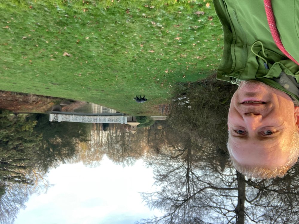
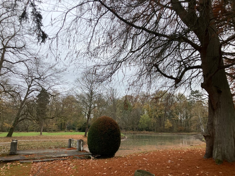
The castle with its park of Hof Ter Borght (20 ha) is located by the Grote Nete and dates from 1780. In 1831, it was a command post of our first king Leopold I.
Catering: brasserie "La Corbeille" pt 332, café Verdi's and brewery "Den Hopperd" (center), brasserie "De Mixx" pt 287. Dogs leashed.
automatic translation
 nodes to follow
0 km
0.6 km
0.8 km
1.6 km
2 km
2.8 km
2.8 km
4.2 km
4.3 km
4.7 km
5.7 km
6.1 km
6.7 km
7.8 km
10.3 km
11.2 km
11.8 km
12.7 km
13 km
13 km
13.8 km
14.2 km
15.2 km
16.3 km
16.6 km
16.8 km



 Upgrade to Premium Plus


