 Hiking
 Login
Login
 More
More
 EN
EN
 Premium
Over Bosberg and Molenheide: short version (train?)
automatic translation
8.4 km • Aarschot
2.9307 1 4/5

 Addresse starting point (approximate)
Gijmelsesteenweg 375, 3201 Homberg, BE
 signage
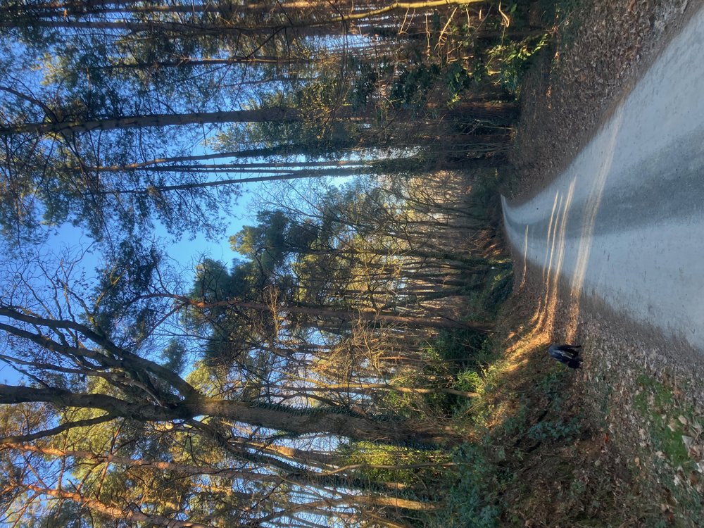
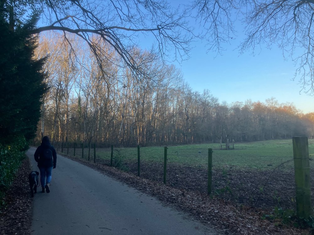
The route is fully signposted with nodes.
 Description
Park for free at the church of Gijmel.
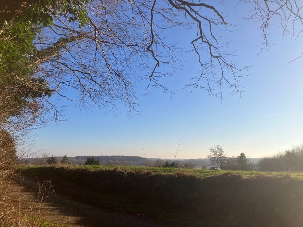
Those heading in this direction start with the longest stretch of asphalt. Once past it, you fully immerse yourself in the Langdorp woods that even grow over the entire Bosberg. As the name implies, it sometimes goes uphill and downhill over the Bosberg hill. Through the trees, you can sometimes catch a glimpse of the Aarschot Demer Valley. This is also a popular area for mountain bikers, so keep your four-legged friend on a leash.
Along the way, you pass two special memorial sites. The first is a reminder of the tragic death of 20-year-old Brent Van Eylen, who was struck by a train despite an open level crossing and died on June 20, 2019. A little further on is a plaque commemorating the 21st and 22nd Jewish Transport Mechelen - Langdorp - Auschwitz.
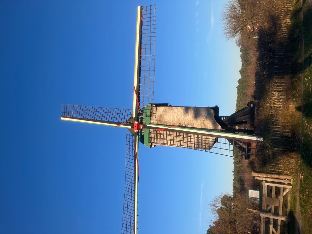
If you want to see the Heide Mill, walk from point 259 a little further towards point 210 and then return.
Catering near point 159: brasserie 't Sant and near Gijmel church: café 't Hoekske.
(High) walking shoes recommended.
automatic translation
 nodes to follow
0 km
1.7 km
2.4 km
2.5 km
4 km
5.4 km
6 km
6.7 km
8.4 km


 Upgrade to Premium Plus
