 Hiking
 Login
Login
 More
More
 EN
EN
 Premium
Border Park De Kempen
automatic translation
10.1 km • Mol
4.6032 2 4/5

 Addresse starting point (approximate)
Witrijt 30, 5571 XH Verspreide huizen Weebosch, NL
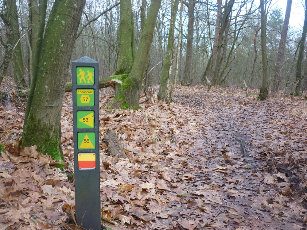
 signage
The route is fully signposted with nodes.
 Description
We did this walk on 12-16-2025 (13,234 steps).
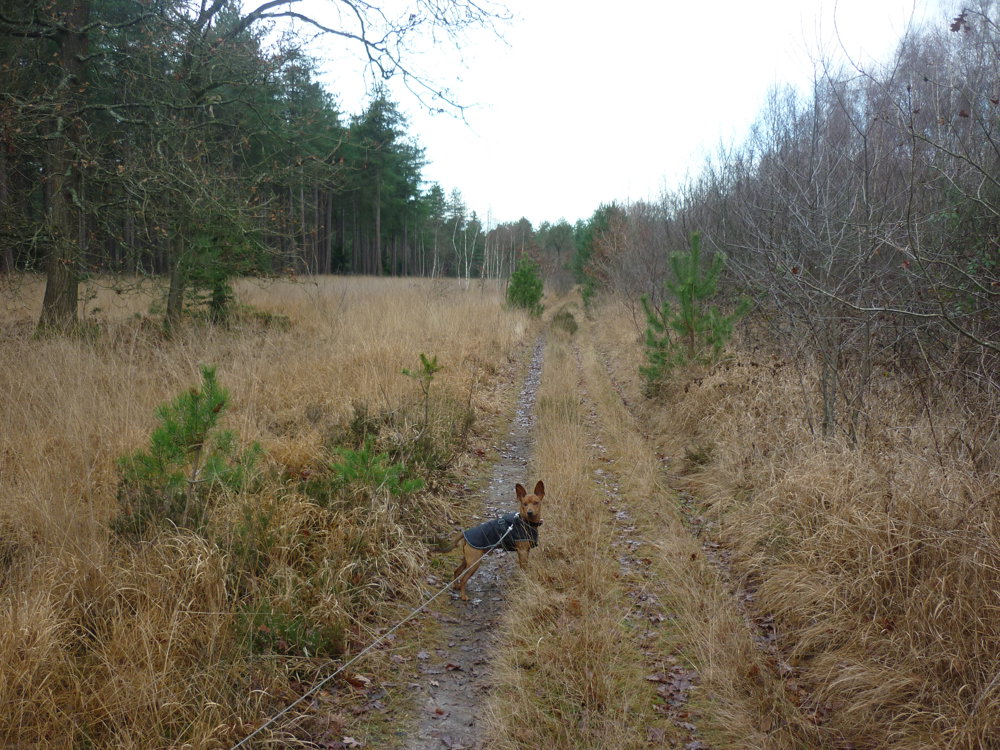
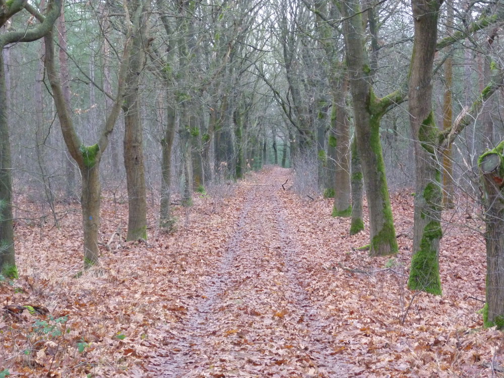
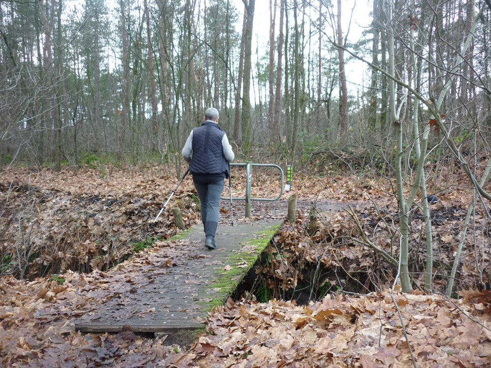
Parking is available in the spacious lot at the inn "In het Wilde Zwijn" in Bergeijk. The walk goes entirely through the beautiful nature reserve "Grenspark De Kempen". It is 96% unpaved, a true gem for the genuine nature lover.
A downside might be the nearby E34 highway. We were lucky, the wind was coming from the south, so we did not experience any noise disturbance.
More photos: https://photos.app.goo.gl/jGcoXivzGLTT2gVT6
Happy walking,
Eddy, Rita, and Prinske
automatic translation
 nodes to follow
0 km
0.8 km
4.4 km
4.4 km
6.4 km
7.5 km
8.6 km
9.8 km
9.9 km
10 km
10.1 km
Thursday, March 12, 2026 by Karel Van de WaterIt was a beautiful walk, highly recommended. We only encountered two people along the way, but it will probably be a bit busier on weekends. After the walk, we had something to eat at the cozy inn Het Wilde Zwijn.
automatic translation
Monday, March 16, 2026 by Eddy & RitaThank you for your comment. Enjoy your walks!
automatic translation
Thursday, March 5, 2026 by Herman Van den ReeckBeautiful and peaceful route, except for the section along the E-34 (even with a south wind, it was still a bit noisy). Mainly a forest walk, but two junction signs had disappeared. Luckily, I had the app. There's a cozy café at the start of the route, but the parking lot fills up quickly. The question I ask myself is, can the pine trees survive? Only the crowns are visible now.
automatic translation
Friday, March 6, 2026 by Eddy & RitaThank you for your response. Enjoy your walks!
automatic translation


 Upgrade to Premium Plus
