 Hiking
 Login
Login
 More
More
 EN
EN
 Premium
Belledaalwandeling
9.2 km • Affligem
 official route
3.7504 4 2.2/5
route offered by
 Addresse starting point (approximate)
Bellekoutersite, Bellestraat 99, 1790 Affligem
 signage
The route is signposted with thematic signs (no nodes). You can use a GPS device or our app to follow the route through the virtual nodes.
 Description
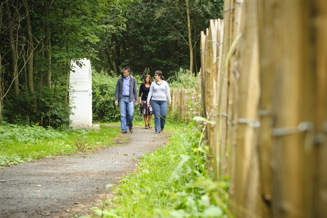
Start at the Bellekouter site, which features a cycling track, for this walk past Affligem’s centuries-old buildings. You’ll pass ’t Sluis, the former country estate of Affligem Abbey, and the large square farmstead Hof ten Brempt. Nature is at its most beautiful along the banks of the Sluisvijvergracht.
Before you set out:
This walk is marked with a hexagonal sign bearing the name “Belledaalwandeling.”
automatic translation
 nodes to follow
0 km
0.5 km
0.5 km
0.5 km
0.9 km
2.2 km
2.4 km
3 km
3.6 km
4.7 km
5.8 km
6.7 km
7 km
8 km
8.6 km
9.2 km
Friday, June 27, 2025 by Koen Rondelez"The chapel of Our Lady of the Pit harkens back to an ancient folk devotion in Affligem. Twelve small and four large chapels adorn a green nature trail..." The walk as shown here with the nodes, does not pass those chapels!
automatic translation
Tuesday, February 8, 2022 by Ann Van den borreThe signs have apparently been renewed recently, signage is in good condition. In itself a nice route: the detour and the parts under the "useless bridges" although the E40 is sometimes really disturbing. We skipped the last loop (over the bridge over E40 and towards Essene) because of this.
automatic translation
Sunday, July 18, 2021 by Freddy LeclercqNice hike, only the little forest path from St- Kat Lombeek to the Bellemolen was very difficult to get through with dry feet(even with good footwear) due to the rainfall of the last few days.
automatic translation
Sunday, July 26, 2020 by Chantal VerbeurtWe wanted to do the hike but unfortunately did not find start. Start would be Muilenstraat Essene. Please your response please. Thanks
automatic translation


 Upgrade to Premium Plus
