 Hiking
 Login
Login
 More
More
 EN
EN
 Premium
Assent: Distant views and hollow roads
automatic translation
9.2 km • Bekkevoort
3.3032 1 4/5

 Addresse starting point (approximate)
Dorpsstraat 16, 3460 Assent, BE
 signage
The route is fully signposted with nodes.

 Description
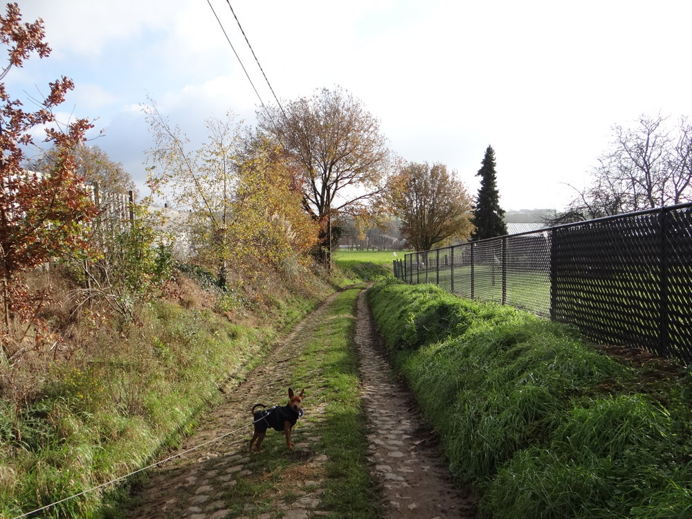
We did this walk on 26/11/2025 (12,248 steps).
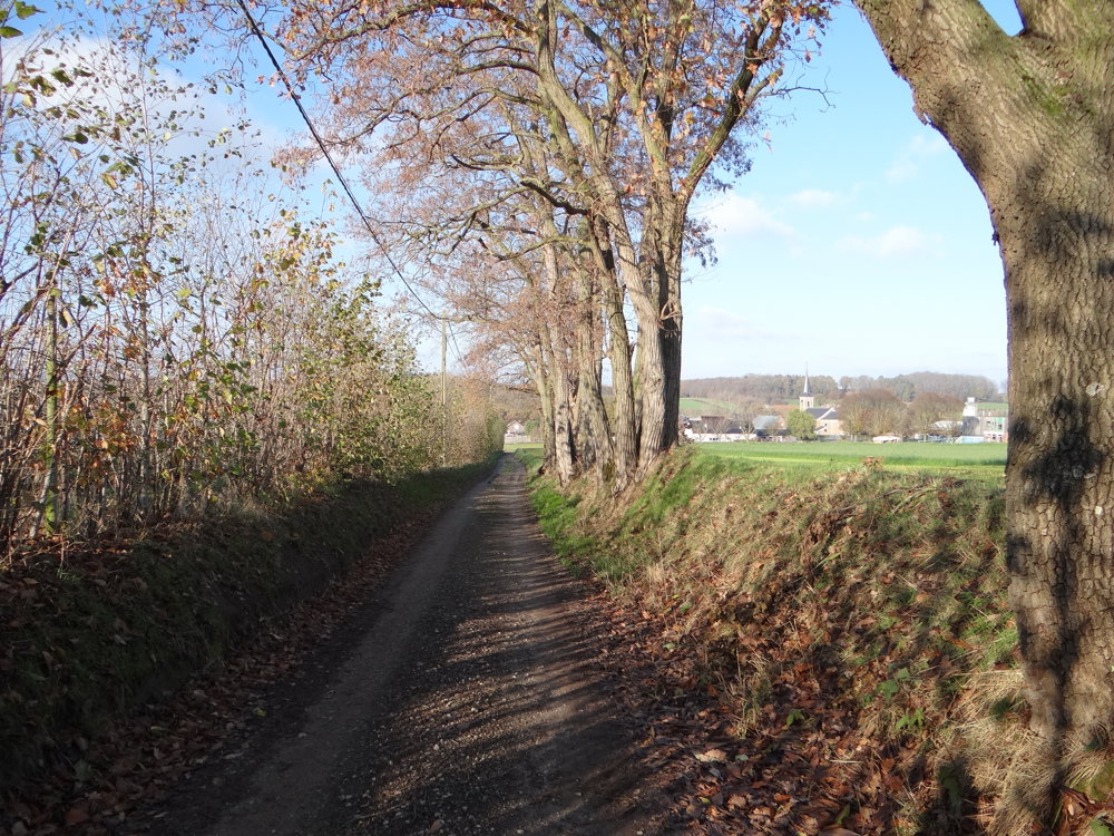
This looped route through the Hageland takes you along quiet hollow roads and open heights with panoramic views. From Assent, you walk through rolling fields and orchards, where the landscape unfolds differently each time.
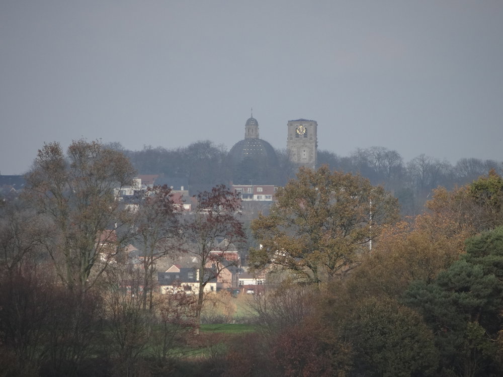
Along the way, you encounter chapels, a Lourdes grotto, and the peace tree of Assent, silent witnesses of faith and memory. The paths are partly paved, partly low-traffic, and carry you in a rhythm of simplicity and peace. In clear weather, the Basilica of Scherpenheuvel appears in the distance, like a beacon above the horizon.
Thus, each step becomes an invitation to see, to feel, and to let yourself be carried by the road itself: a walk that brings together nature, silence, and history in a day of beauty.
More photos: https://photos.app.goo.gl/2hqcdvip7zSgd2z9A
Happy walking,
Eddy, Rita and Prinske
automatic translation
 nodes to follow
0 km
0.2 km
0.2 km
0.8 km
1.5 km
3.3 km
3.5 km
4.2 km
4.9 km
5.8 km
6.1 km
7.2 km
7.6 km
8.2 km
9.1 km

9.2 km


 Upgrade to Premium Plus
