 Hiking
 Login
Login
 More
More
 EN
EN
 Premium
Dworpwandeling
9.3 km • Beersel
 official route
6.19510 10 4.3/5
route offered by
 Addresse starting point (approximate)
Voormalig gemeentehuis Dworp, Alsembergsesteenweg 612, 1653 Dworp (Beersel)
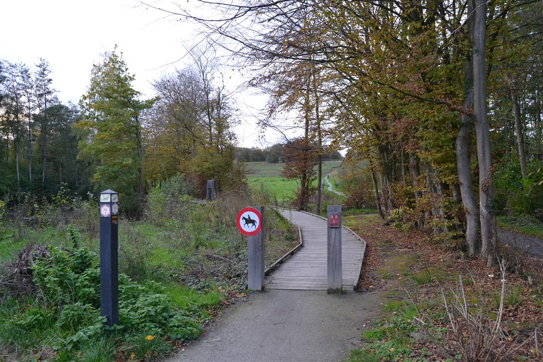
 signage
The route is signposted with thematic signs (no nodes). You can use a GPS device or our app to follow the route through the virtual nodes.
 Description
The Dworp walk takes you past several nice spots in and around the town of Dworp. The hike continues southwards along a section of the original Henri Consience trail. Along the banks of the Kapittelbeek you reach the Vroenenbos and the Krabbos, two offshoots of the larger Hallerbos. Further on, you'll walk at the backside of the Huizingen provincial domain. At the top you'll have the most beautiful view of Dworp. Through hollow roads you'll be able to dive into the Begijnenbos before exploring the region through the green Molenbeek valley. Walk on beautiful, deserted paths. Every now and then you'll come across a surprising panorama. This hike is signposted with a 6-sided sign with the name Dworpwandeling.
automatic translation
 nodes to follow
0 km
0.7 km
1 km
1.5 km
2.9 km
3 km
3.5 km
5 km
5.6 km
6 km
6.6 km
8 km
8.4 km
9.2 km
9.3 km
Sunday, January 18, 2026 by F.M.I had expected more. The roads are often enclosed by fences, with signs everywhere saying 'private property, no trespassing'. It's a shame that the views are often spoiled by the many open buildings.
automatic translation
Saturday, January 17, 2026 by Joseph VanroyVery nice walk, enjoyed it. Signage well marked. Highly recommended.
automatic translation
Thursday, May 29, 2025 by Nadesch Eggermontlots of greenery, nice walk with alternation between forest and meadows
automatic translation
Sunday, October 16, 2022 by Herman WalschotsVery nice walk , indeed 2nd part nicer than first part , mostly unpaved roads , very good indication , nice mix of forest , meadow and fields highly recommended
automatic translation
Saturday, September 3, 2022 by Yasmin VdCGood hike. Many nice places along the way, but also a lot of stimuli! The restless owner(s) and animal(s) should take this into account (many other walkers, barking dogs, cyclists, etc.). Second half quieter and more in nature. Parking without problems. Everything well indicated.
automatic translation
Saturday, March 6, 2021 by E.V.Super nice hike, hilly, lots of beautiful views. We go hiking weekly and for us this is already the most beautiful hike we have done.
automatic translation
Tuesday, February 16, 2021 by B.B.A walk that has everything , Open views , forest , field etc .... Occasionally a big calf biter in between.
automatic translation
Sunday, December 6, 2020 by K.S.Beautiful hike! Seriously some climbing, especially if it rained. We ran into quite a few mountain bikers. Pretty cool that it's barely between houses, only sometimes crossing a street and for the rest pure nature!
automatic translation
Sunday, December 6, 2020 by C.V.Super nice hike,some climbing,but definitely worth it!!!
automatic translation
Tuesday, September 15, 2020 by A.V.Wonderful route, beautiful views. Well marked. Pretty tough hike though.
automatic translation


 Upgrade to Premium Plus
