
 Hiking
 Login
Login
 More
More
 EN
EN
 Premium
Land Commandery Alden Biesen
automatic translation
10.8 km • Bilzen-Hoeselt
3.5645 0 0/5

 Addresse starting point (approximate)
Kasteelstraat 1A, 3740 Bilzen, BE
 signage
The route is not signposted. Use a GPS device or our app to follow the route.
 Description
Departure: parking Landcommandery Alden Biesen - Kasteelstraat 6 - Bilzen-Hoeselt
The castle gardens are freely accessible; there is only an entrance fee for visiting the castle itself. We make a loop around the castle domain and head towards the ring road. After crossing the bridge, we follow the route of the old tram line, which leads us over the Katteberg to the center of Bilzen.
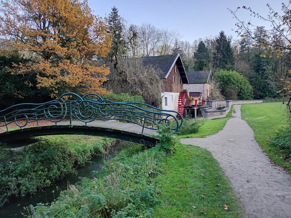
There, we walk through the Haffmanspark with its picturesque water mill. Via the sports fields and the De Kimpel swimming pool, we return. Here, there is an opportunity for a sanitation stop.
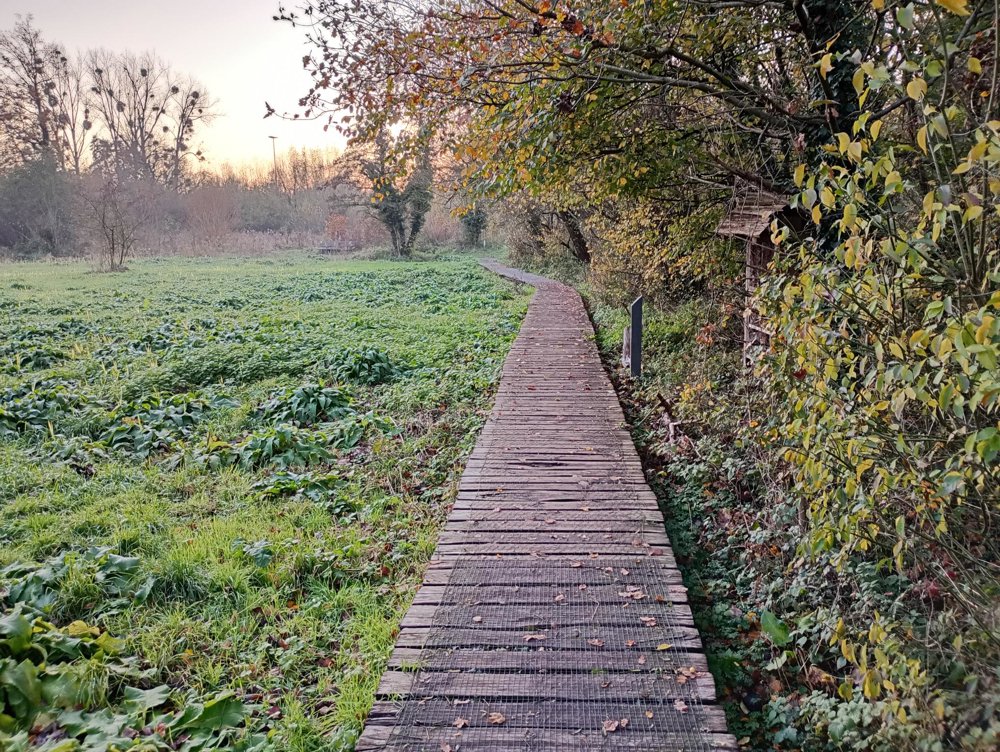
Then, we continue along the educational children's farm, and after passing under the ring road, we find ourselves in a beautiful piece of nature. Unfortunately, in this part of the walk, the background noise of the ring road remains audible. The path along the Demer is particularly beautiful, but can be muddy and boggy in wet periods — suitable footwear is therefore recommended.
automatic translation



 Upgrade to Premium Plus


