
 Hiking
 Login
Login
 More
More
 EN
EN
 Premium
Ramsel Clay Pit from Begijnendijk Station (train?)
automatic translation
9.5 km • Begijnendijk
2.3473 0 0/5

 Addresse starting point (approximate)
Haltestraat 48, 3130 Begijnendijk, BE
 signage
The route is not signposted. Use a GPS device or our app to follow the route.

 Description
Park for free at Begijnendijk station (or come by train). Alt.: Ramsel center (catering)
Do you only know Ramsel from the road signs? Or maybe you've heard of their annual "potjèr wheelbarrow race" which has existed since 1979?
Mainly via quiet roads and through hidden pathways, you seek out the clay pit. Ramsel was once known for its many brickyards because of the abundant clay layers present in the area. From 1740, this industry expanded such that the villagers received the nickname 'potjèrdabbers'. In the clay pits, the blue 'Boomse' clay was extracted with pottery clay of very good quality. The clay pit and the brickyard of the Smits-Hermans family were started in the late 1920s. In 1979, brick making ceased. Now, the Kleiput is an oasis of peace and active relaxation.
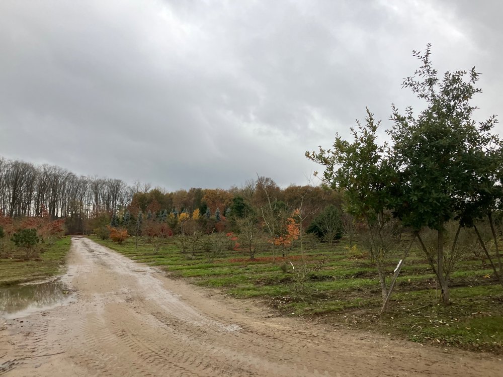
You also pass the historical "railway line 29", heritage site "Het kasteeltje" and a tree nursery.
(High) hiking boots
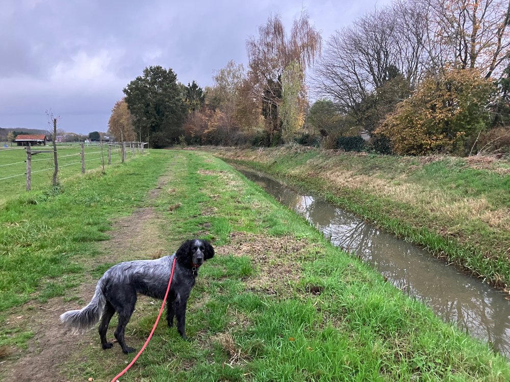
Dogs on a leash
automatic translation
 nodes to follow
0 km

0.2 km
0.8 km
2 km
3.1 km
4 km
4.4 km
4.6 km
5 km
5.1 km
5.9 km
5.9 km
6.6 km
7.8 km
9.5 km



 Upgrade to Premium Plus


