
 Hiking
 Login
Login
 More
More
 EN
EN
 Premium
Dessel at its best
automatic translation
10.9 km • Dessel
2.0762 0 0/5

 Addresse starting point (approximate)
Meistraat 237, 2480 Dessel, BE
 signage
The route is fully signposted with nodes.
 Description
We took this walk on 11/17/2025 (14,010 steps)
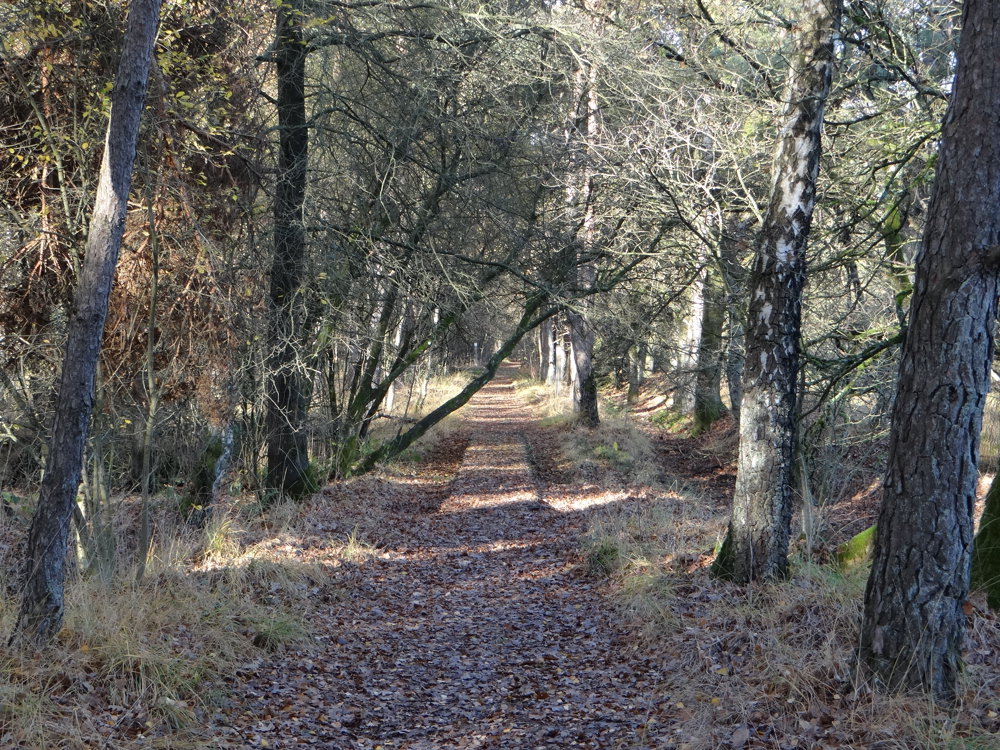
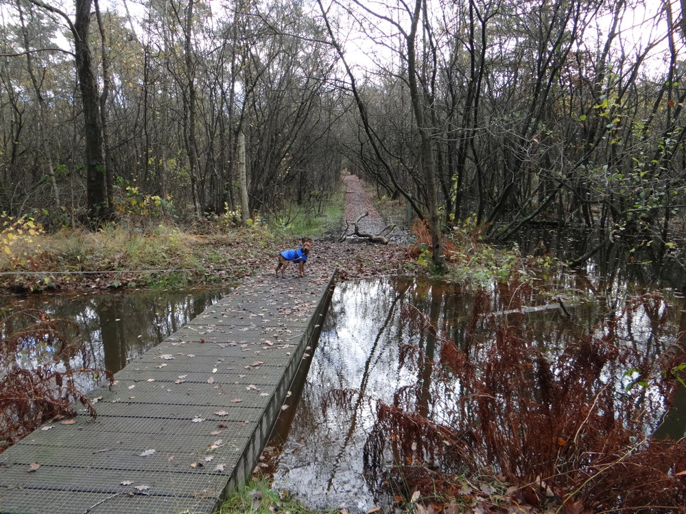
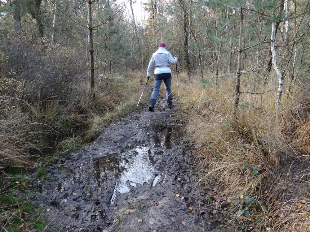
This loop walk takes you through the Den Diel nature reserve, a beautiful piece of Kempen nature. You walk through quiet forests and along the Desselse Neet, which appears remarkably straightened here. The marshy area is made accessible via various boardwalks, bringing you close to the water and nature.
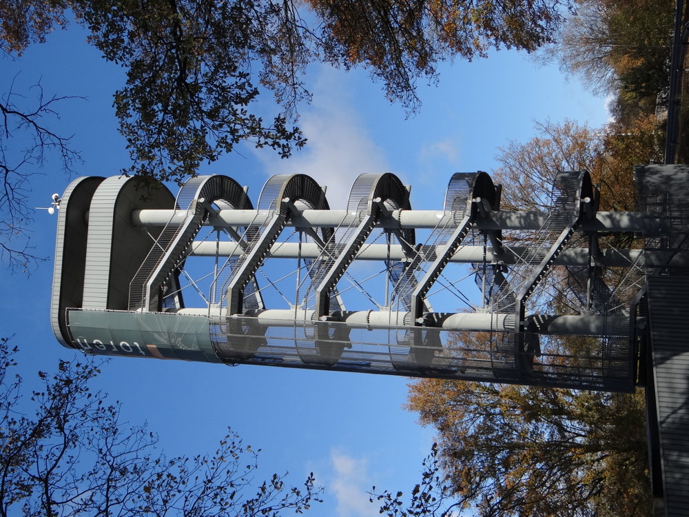
Along the way, you pass sights such as Lock 4 Dessel, the Sas4 Tower with panoramic views, the World War II Memorial, the playful Biodiversity Tower, and the historic Witte Haas, a dining and drinking venue. The route is largely car-free and combines nature, waterways, and culture into a delightful walk full of variety and tranquility.
More photos: https://photos.app.goo.gl/t6EuKnweEZjdpibw7
Happy walking,
Eddy, Rita, and Prinske
automatic translation
 nodes to follow
0 km
0.2 km
1.1 km
1.2 km
1.5 km
2.2 km
2.8 km
3.3 km
5 km
5.2 km
5.9 km
7 km
7.2 km
7.5 km
8.8 km
9.4 km
10.1 km
10.4 km
10.9 km



 Upgrade to Premium Plus


