Loading...

Mazenzele -hike through five natural areas

automatic translation

16.4 km • Opwijk

2.0204 0 0/5

16.4 km 0.0 km 0.0 km

route offered by

Peter XX

Icon starting point Addresse starting point (approximate)

Kouterbaan 11A, 1745 Opwijk, BE

Icon type signage of route signage

The route is not signposted. Use a GPS device or our app to follow the route.
5m 5m 5m 5m
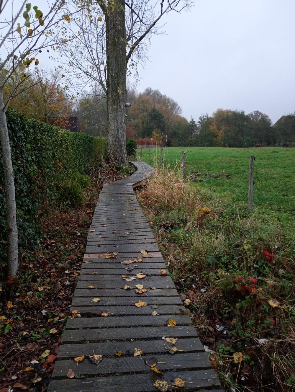
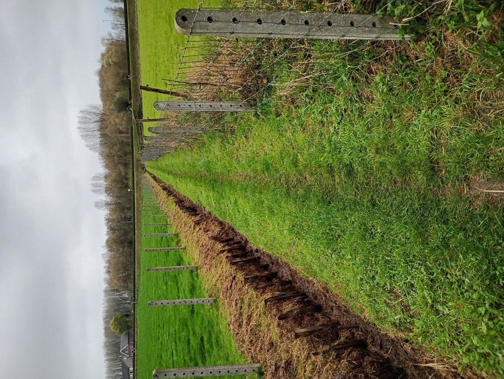
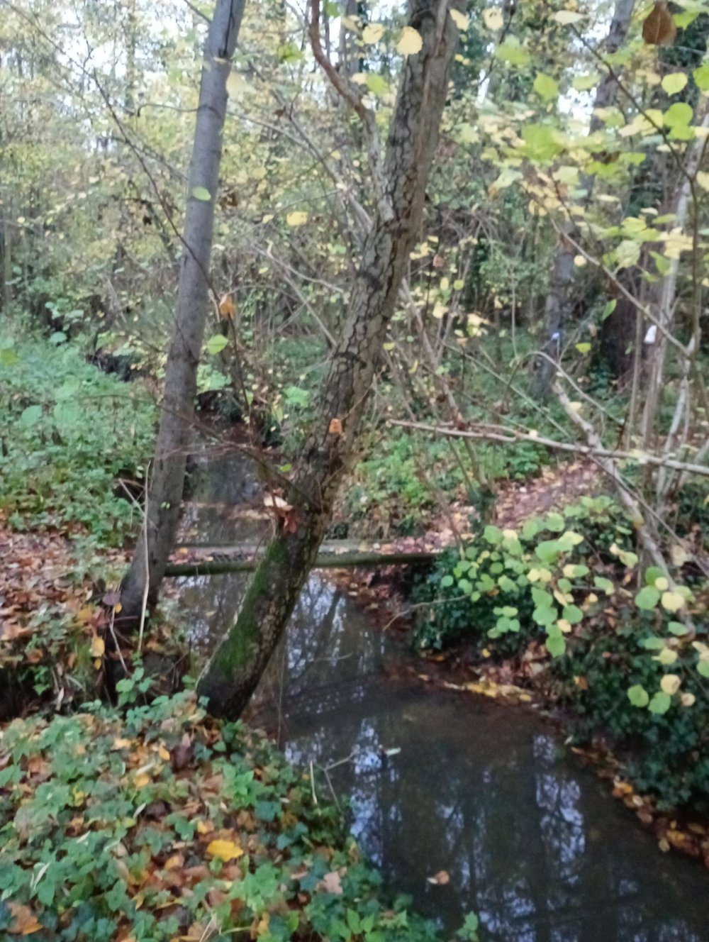
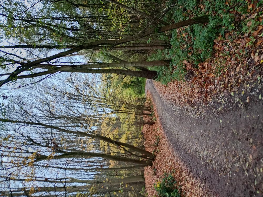
Atmosphere image 1 of route Mazenzele -hike through five natural areas Atmosphere image 2 of route Mazenzele -hike through five natural areas Atmosphere image 3 of route Mazenzele -hike through five natural areas
© Peter D'hont

Icon description route Description

Departure: primary school parking, Kouterbaan 8, 1745 Opwijk

This varied walk leads you through extensive fields, quiet village centers, and five beautiful forests managed by Natuurpunt: Vogelenzang, Kartelbos, Heibos, Paddebroeken, and Hellebos. Each forest has its own character and offers an oasis of peace and nature.

The route is largely unpaved and in wet periods the paths can be quite muddy. Good, waterproof hiking boots are therefore highly recommended. There is no catering available along the way.

An ideal hike for those who love silence, greenery, and exploring lesser-known spots.

automatic translation

Icon nodes to follow nodes to follow

Icon start route
0 km
Icon deviation route
0 km
Icon deviation route
1.8 km
Icon deviation route
3.9 km
Icon deviation route
5.3 km
Image node 403
6.2 km
Icon deviation route
7 km
Icon deviation route
7.6 km
Icon deviation route
8.5 km
Icon deviation route
9.9 km
Icon deviation route
11.2 km
Icon deviation route
12.2 km
Icon deviation route
13.1 km
Icon deviation route
13.9 km
Icon deviation route
15.3 km
Icon deviation route
16 km
Icon stop route
16.4 km
This route does not have any reviews yet. Be the first!
Rate route!

Which POI do you want to show on the map?

Experimental hiking network
Unsigned icon

The route you have chosen runs (partly) along an experimental virtual hiking node network (the blue-coloured nodes and sections on the map).

You must be logged in to plan routes here.

Experimental hiking network
Unsigned icon

The route you have chosen runs (partly) along an experimental virtual hiking node network (the blue-coloured nodes and sections on the map).

These routes are not controlled in the field. Before you start hiking here, take a minute to read what an experimental hiking node network is and what rules you should follow when hiking here.