 Hiking
 Login
Login
 More
More
 EN
EN
 Premium
Wijnbronbeekwandeling
5.6 km • Linkebeek
 official route
3.0835 2 4.2/5
route offered by
 Addresse starting point (approximate)
Sint-Sebastiaanskerk, Gemeenteplein, 1630 Linkebeek
 signage
The route is signposted with thematic signs (no nodes). You can use a GPS device or our app to follow the route through the virtual nodes.
 Description
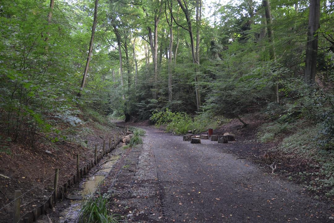
The Wijnbronbeek Walk is one of the finest to further explore the town of Linkebeek. From the picturesque staircase streets around the church and the Municipal Square to the beautiful hollow road of the Wijnbron valley. Linkebeek shows its surprisingly green and most beautiful side with this walk, through the Schaveyspark and the Kleetbos. This hike is signposted with a 6-sided sign with the name Wijnbronbeekwandeling.
automatic translation
 nodes to follow
0 km
0.1 km
0.2 km
1.8 km
2.3 km
2.6 km
5.3 km
5.4 km
5.6 km
Saturday, April 10, 2021 by Linda FastenaekelsVery nice hike. Hidden nature. Beautiful hollow roads.
automatic translation
Sunday, January 31, 2021 by W.D.Beautiful (at times tough on the calves) hike. An ideal mix of forest roads, paved parkway and village streets. Too bad the catering facilities are not yet open.
automatic translation


 Upgrade to Premium Plus
