
 Hiking
 Login
Login
 More
More
 EN
EN
 Premium
Mary Statue🙏 & Beast Tower 🐦 Silence with Wings
automatic translation
9.2 km • Zutendaal
3.0873 0 0/5

 Addresse starting point (approximate)
Blookbergstraat, 3690 Zutendaal, BE
 signage
The route is not signposted. Use a GPS device or our app to follow the route through the virtual nodes.
 Description
We did this nature walk on 14/11/2025 (12,056 steps).
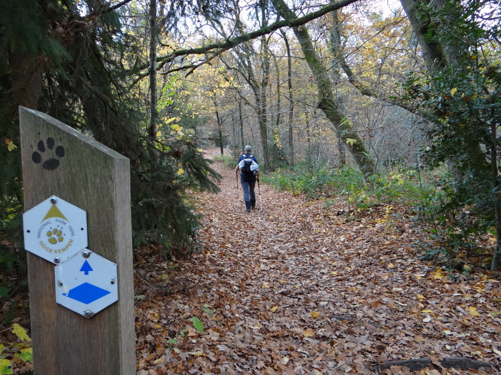
Markings in both directions: blue diamond on white.
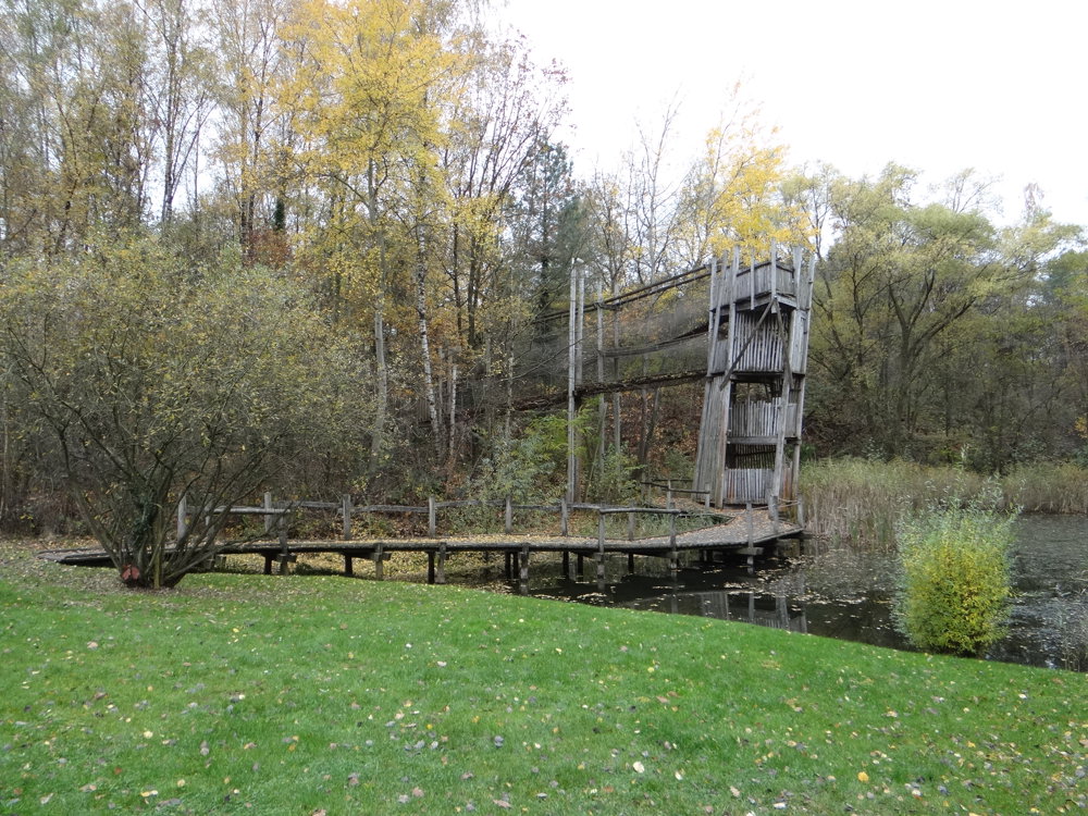
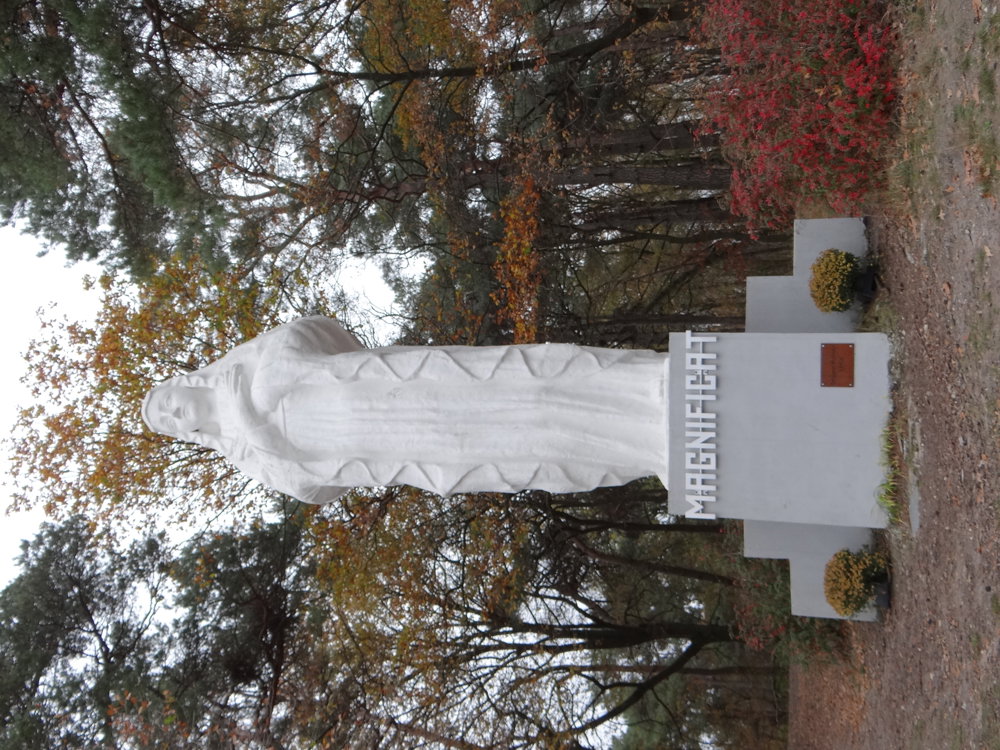
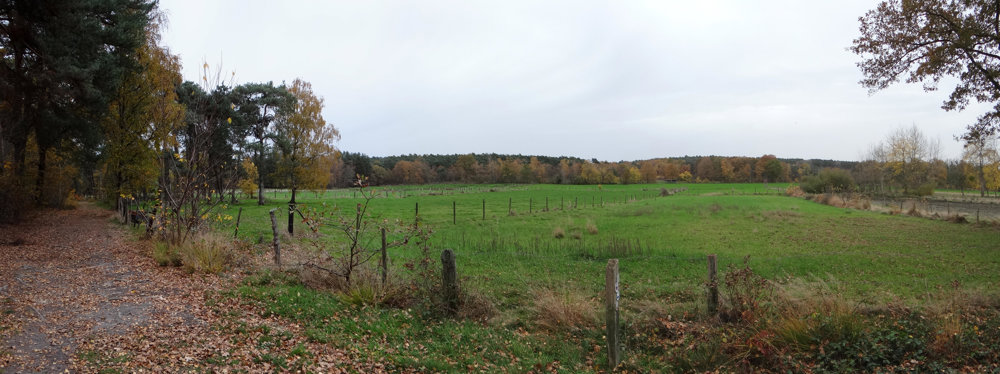
A loop through Zutendaal where nature and culture meet. From the Lieteberg gateway, you enter the Hoge Kempen National Park, passing through quiet forests and heathland relics. Along the way, you encounter the Beestentoren, a residential tower for birds and insects. On the Hesselsberg, a large statue of the Virgin Mary awaits, along with a view over the Kempen. Two Poetry Stones bring poetry in stone, while a column in blue stone forms a subdued tribute to writer Jeroen Brouwers. The route is largely car-free and winds through the nature reserve, with space for silence and reflection. Those who fancy a break will find hospitality at café De Sjètterèi. A walk that invites you to see, feel, read, and taste: a gentle journey full of small surprises.
More photos: https://photos.app.goo.gl/sBWbAyXQtRU1DS4M8
Happy walking,
Eddy, Rita and Prinske
automatic translation
 nodes to follow
0 km
0.2 km
0.3 km
0.9 km
1 km
1.5 km
2.5 km
3.1 km
3.8 km
4.1 km
4.4 km
5.5 km
7.3 km
8.9 km
9.2 km



 Upgrade to Premium Plus


