 Hiking
 Login
Login
 More
More
 EN
EN
 Premium
St. Lievens hiking trail
automatic translation
13 km • 9550, Herzele
 official route
4.41417 0 0/5
13 km
0.0 km
0.0 km
 Addresse starting point (approximate)
Ransbeekstraat, Herzele
 signage
The route is fully signposted with thematic signs (no nodes).
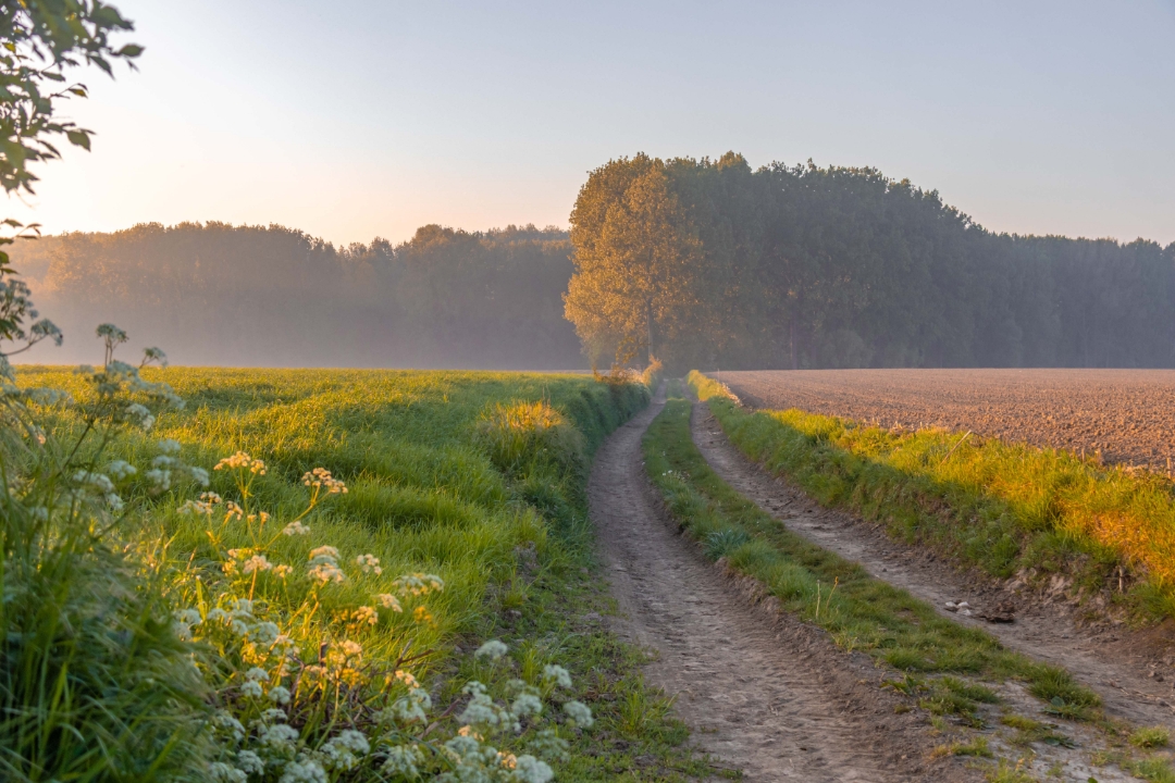
© Toerisme Oost-Vlaanderen
 Description
Between Sint-Antelinks, Sint-Lievens-Esse and Steenhuize-Wijnhuize, you walk right through the green heart of Dendervallei-Zuid. You could almost say you are walking through a holy trinity here. Forest, open views and a multitude of wayside chapels show you the way here, on the border between the Flemish Ardennes and the Scheldt country.
automatic translation
 nodes to follow
0 km
0.7 km
0.9 km
2.4 km
4.3 km
5.5 km
6.6 km
8.7 km
9.8 km
12.3 km
12.5 km
12.9 km


 Upgrade to Premium Plus
